Myton in the Domesday Book (1086)
Myton appears in the Domesday Book of 1086, entered under the hundred of Hessle in Yorkshire. The survey assessed Myton at 0.2 carucates of taxable land.
At the time of the survey, Myton supported a recorded population of 3 smallholders.
The survey records Myton’s value at 10d in 1086. No pre-Conquest figure survives – not unusual in the North, where records were disrupted by the Harrying and by the patchy coverage of the survey.
Resources Recorded at Myton (1086)
- Woodland: 4 * 1 furlongs
Other Settlements in Hessle
- Anlaby
- Breighton
- Bubwith
- Chetelestorp
- Chrachetorp
- Crachetorp
- Gunby
- Hessle
- Lund
- Newsholme
- Riplingham
- Siuuarbi
- Spaldington
- Totfled
The Meaning of the Name
The name Myton is of Anglo-Saxon origin. Its final element derives from the Old English word tūn, a farmstead or village. The first element is most likely a personal name or an early descriptive term, now difficult to recover with certainty. Taken together the name probably meant something close to ‘a farmstead’.
Remarkably, the name has changed little since 1086, when the Domesday scribes wrote it as Myton.
Listed Buildings Near Myton
Historic England records 270 listed buildings within about a mile of Myton. Listing protects structures of special architectural or historic interest, graded I (exceptional), II* (particularly important) and II.
Grade II*
- Minerva Lodge of Freemasons Number 250 - 0.19 km
- Hands on History Museum - 0.27 km
Grade II
- Earl de Grey Public House - 0.08 km
- Warehouse at South East Corner of Prince’s Dock - 0.09 km
- Connecting Channel Former Railway Dock Swing Bridge - 0.12 km
- Castle Buildings - 0.13 km
- Prince’s Dock - 0.15 km
- Former Railway Dock Warehouse (Warehouse No. 13) - 0.17 km
- Former Warehouses on Corner of Princes Dock Street and Posterngate - 0.18 km
- Prince’s Dock Chambers and the Quayside Public House - 0.19 km
- Gatehouse to Trinity House - 0.22 km
- Warehouse at Corner of Robinson Row - 0.22 km
- No. 3, PRINCE STREET and Nos. 6-12, PRINCE STREET - 0.23 km
- 6, Posterngate - 0.23 km
- Former Department of Transport Marine Office - 0.23 km
- Roland House and Commercial Chambers - 0.24 km
- Ferens Art Gallery - 0.24 km
- Former Fish Street Day Schools - 0.25 km
- Carmelite House - 0.25 km
- 9 1/2 10 10 1/2 and 11, King Street - 0.25 km
- Colonial Chambers - 0.25 km
- Punch Hotel - 0.25 km
- 30-33 Whitefriargate, Hull - 0.26 km
- Monument Buildings - 0.26 km
…and 246 more listed structures in the area.
Scheduled Monuments Near Myton
Scheduled monuments are nationally important archaeological sites given legal protection. 2 lie within roughly a mile of Myton:
- Beverley Gate and adjacent archaeological remains forming part of Hull’s medieval and post-medieval defences - 0.28 km
- Hull Castle, South Blockhouse and part of late 17th century Hull Citadel Fort at Garrison Side - 0.89 km
Nearby Domesday Settlements
Other places recorded in the 1086 survey within a few miles:
- Totfled - 0.0 km N
- Drypool - 1.0 km E
- Southcoates - 3.6 km NE
- Sutton on Hull - 4.5 km NE
- Marfleet - 5.1 km E
- South Skirlaugh - 5.1 km E
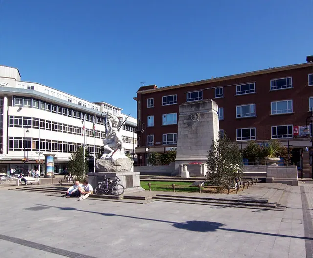
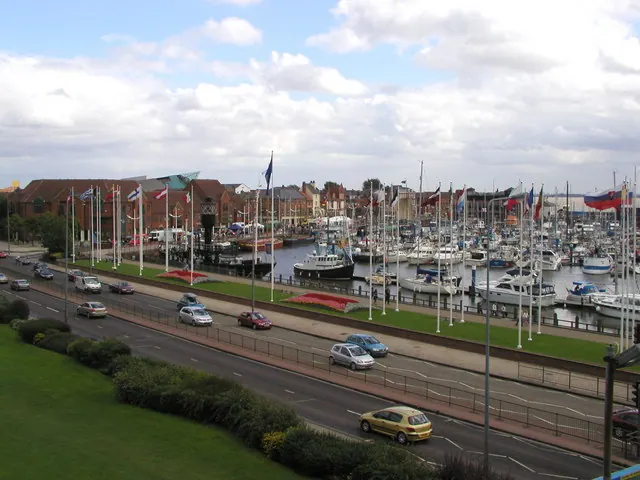
Heritage Around Myton
Photographs of churches, listed buildings and monuments in the vicinity, contributed by volunteers to the Geograph project and reused here under a Creative Commons licence.
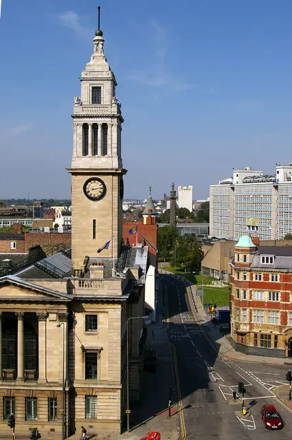
© David Wright · Geograph · CC BY-SA 2.0
© David Wright · Geograph · CC BY-SA 2.0
© Andy Beecroft · Geograph · CC BY-SA 2.0
Images © their respective photographers, licensed under CC BY-SA 2.0 and reused here with attribution. Photographs depict listed buildings, churches and monuments near this settlement and may show neighbouring villages.
Data derived from the Open Domesday project (opendomesday.org), based on the Domesday Book dataset compiled by Professor J.J.N. Palmer and team. The Domesday Book (1086) is in the public domain.
Found an inaccuracy? [email protected]