Murton in the Domesday Book (1086)
Murton appears in the Domesday Book of 1086, entered under the hundred of Bulford in Yorkshire. The survey assessed Murton at 15.2 carucates of taxable land.
At the time of the survey, Murton supported a recorded population of 25 villagers, 10 smallholders, 6 slaves, working 14 ploughs between them.
The numbers record a sharp fall. Before 1066, Murton was worth 15 shillings; by 1086 that had dropped to 12.5 shillings – a fall of 16%. Most Yorkshire villages that lost value on this scale were swept up in the Harrying of the North – William’s scorched-earth campaign of 1069–70.
The survey lists 4 manors at Murton under different lords. Splitting a single settlement between multiple tenants was common across the North – Saxon estates broken up and handed to William’s followers after 1066.
Resources Recorded at Murton (1086)
- Mills: 1 mill (valued at 10d)
- Meadow: 5 ploughs
- Woodland: 100 None
Other Settlements in Bulford
- Aldwark
- Alne
- Barnby [House]
- Barton [le Willows]
- Beningbrough
- Bossall
- Brafferton
- Brandsby
- Bulmer
- Buttercrambe
- Carlton [Farm]
- Claxton
- Coneysthorpe
- Corburn
The Meaning of the Name
The name Murton is of Anglo-Saxon origin. Its final element derives from the Old English word tūn, a farmstead or village. The first element is most likely a personal name or an early descriptive term, now difficult to recover with certainty. Taken together the name probably meant something close to ‘a farmstead’.
Remarkably, the name has changed little since 1086, when the Domesday scribes wrote it as Murton.
Listed Buildings Near Murton
Historic England records 9 listed buildings within about a mile of Murton. Listing protects structures of special architectural or historic interest, graded I (exceptional), II* (particularly important) and II.
Grade II
- Church of Saint James - 0.3 km
- Murton Hall - 0.47 km
- Coach House Immediately East of Murton Hall - 0.48 km
- Garden Wall and Gazebo to Murton Hall - 0.5 km
- Grimston Court - 1.13 km
- Grimston Hill House - 1.19 km
- Osbaldwick Hall - 1.24 km
- Church of St Thomas - 1.26 km
- Stanley House - 1.28 km
Murton Today
Today Murton lies within the administrative area of City of York, and the settlement recorded a population of 656 at the 2021 census. Nine and a half centuries separate that figure from the small rural community the Domesday survey recorded here in 1086.
Read more about modern Murton on Wikipedia .
Nearby Domesday Settlements
Other places recorded in the 1086 survey within a few miles:
- Grimston - 1.0 km S
- Osbaldwick - 1.4 km SW
- Dunnington - 2.0 km E
- Ianulfestorp - 2.0 km E
- Heslington - 2.8 km SW
- Heworth - 3.0 km W
Heritage Around Murton
Photographs of churches, listed buildings and monuments in the vicinity, contributed by volunteers to the Geograph project and reused here under a Creative Commons licence.
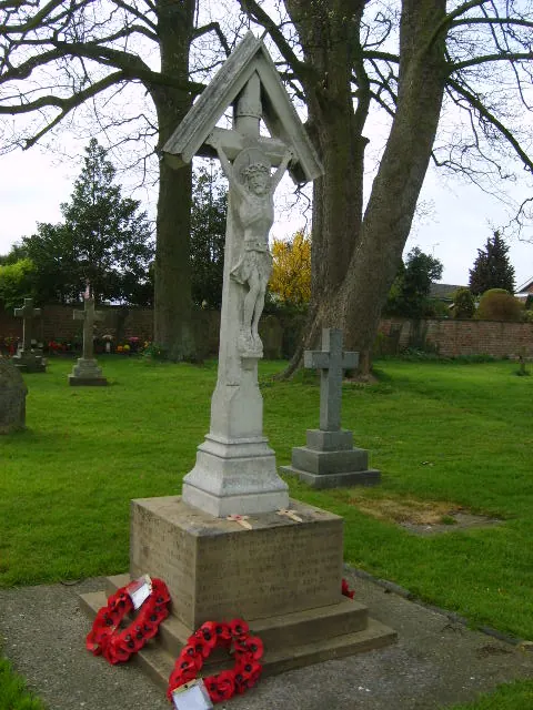
© William Metcalfe · Geograph · CC BY-SA 2.0
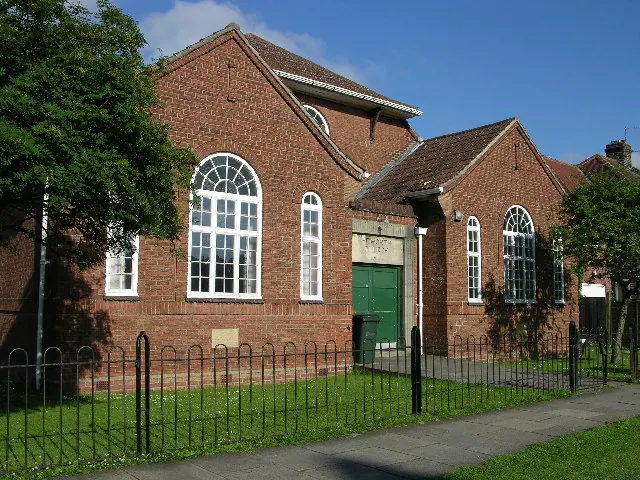
© Stuart and Fiona Jackson · Geograph · CC BY-SA 2.0
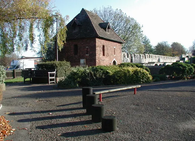
© Paul Glazzard · Geograph · CC BY-SA 2.0
Images © their respective photographers, licensed under CC BY-SA 2.0 and reused here with attribution. Photographs depict listed buildings, churches and monuments near this settlement and may show neighbouring villages.
Data derived from the Open Domesday project (opendomesday.org), based on the Domesday Book dataset compiled by Professor J.J.N. Palmer and team. The Domesday Book (1086) is in the public domain.
Found an inaccuracy? [email protected]