Mugginton in the Domesday Book (1086)
The settlement of Mugginton is recorded in William I’s Domesday survey of 1086, entered under the hundred of Litchurch in Derbyshire.
Other Settlements in Litchurch
- Allestree
- Alvaston
- Ambaston
- Arleston
- Aston [-on-Trent]
- Barrow [-upon-Trent]
- Bearwardcote
- Boulton
- Burnaston
- Chellaston
- Cottons
- Dalbury
- Egginton
- Elvaston
The Meaning of the Name
The name Mugginton is of Anglo-Saxon origin. Its final element derives from the Old English word tūn, a farmstead or village. The first element is most likely a personal name or an early descriptive term, now difficult to recover with certainty. Taken together the name probably meant something close to ‘a farmstead’.
Remarkably, the name has changed little since 1086, when the Domesday scribes wrote it as Mugginton.
Listed Buildings Near Mugginton
Historic England records 11 listed buildings within about a mile of Mugginton. Listing protects structures of special architectural or historic interest, graded I (exceptional), II* (particularly important) and II.
Grade I
- Church of All Saints - 0.49 km
Grade II
- Church Farmhouse - 0.46 km
- Mill at Trent Trout Farm - 0.51 km
- Old Rectory Farmhouse - 0.52 km
- Netherfield Farmhouse - 0.6 km
- Inn Farmhouse - 0.6 km
- Stores Cottage Wilmot Cottage - 0.63 km
- The Old Beeches - 0.7 km
- Mile Post at Os 293 425 - 0.72 km
- Hall Farmhouse - 0.8 km
- Barn and Attached Cowhouse at Hall Farm - 0.84 km
Scheduled Monuments Near Mugginton
Scheduled monuments are nationally important archaeological sites given legal protection. 3 lie within roughly a mile of Mugginton:
- Mugginton medieval settlement and part of an open field system - 0.7 km
- Fishponds 260m north west of Mercaston Hall Farm - 0.82 km
- Ravensdale deer park, lodge, mill and fishpond - 1.49 km
Mugginton Today
Today Mugginton lies within the administrative area of Weston Underwood.
Nearby Domesday Settlements
Other places recorded in the 1086 survey within a few miles:
- Weston Underwood - 1.0 km E
- Mercaston - 2.2 km NW
- Kedleston - 2.2 km SE
- Brailsford - 3.2 km W
- Ireton - 3.2 km E
- Kirk Langley - 4.0 km S
Heritage Around Mugginton
Photographs of churches, listed buildings and monuments in the vicinity, contributed by volunteers to the Geograph project and reused here under a Creative Commons licence.
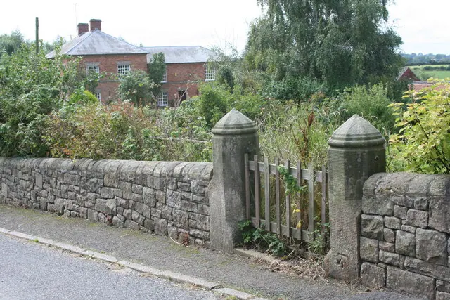
© Nigel Aspdin · Geograph · CC BY-SA 2.0
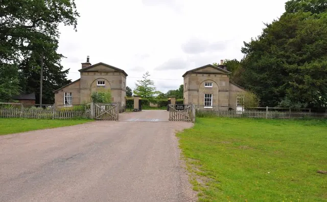
© Mick Malpass · Geograph · CC BY-SA 2.0
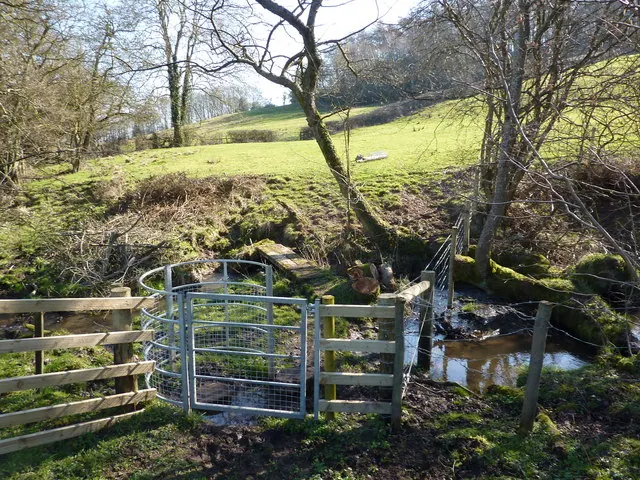
© Peter Barr · Geograph · CC BY-SA 2.0
Images © their respective photographers, licensed under CC BY-SA 2.0 and reused here with attribution. Photographs depict listed buildings, churches and monuments near this settlement and may show neighbouring villages.
Data derived from the Open Domesday project (opendomesday.org), based on the Domesday Book dataset compiled by Professor J.J.N. Palmer and team. The Domesday Book (1086) is in the public domain.
Found an inaccuracy? [email protected]