Mosborough in the Domesday Book (1086)
The 1086 Domesday survey records the settlement of Mosborough, entered under the hundred of Scarsdale in Derbyshire. The survey assessed Mosborough at 83 carucates of taxable land.
Most significantly, Mosborough is recorded as waste in 1086 - land rendered uninhabitable and valueless. Before the Conquest, the settlement had been assessed at 40 shillings; by 1086 that value had collapsed entirely. This pattern - prosperity before 1066, devastation by 1086 - is the unmistakable signature of the Harrying of the North , William I’s campaign of systematic destruction across Yorkshire in 1069–70.
The survey lists 2 manors at Mosborough under different lords. Splitting a single settlement between multiple tenants was common across the North – Saxon estates broken up and handed to William’s followers after 1066.
Other Settlements in Scarsdale
- Alfreton
- Ashover
- Barlborough
- Barlow
- Beighton
- Blingsby
- Bolsover
- Boythorpe
- Bramley [Vale]
- Brimington
- Calow
- Chesterfield
- Clowne
- Dore
The Meaning of the Name
The name Mosborough is of Anglo-Saxon origin. Its final element derives from the Old English word burh, a fortified place. The first element is most likely a personal name or an early descriptive term, now difficult to recover with certainty. Taken together the name probably meant something close to ‘a stronghold’.
Remarkably, the name has changed little since 1086, when the Domesday scribes wrote it as Mosborough.
Listed Buildings Near Mosborough
Historic England records 15 listed buildings within about a mile of Mosborough. Listing protects structures of special architectural or historic interest, graded I (exceptional), II* (particularly important) and II.
Grade II
- Mosborough War Memorial - 0.42 km
- 2, Duke Street - 0.56 km
- Moss Cottage - 0.74 km
- Barn and Cowsheds to North of Yard at Mosborough Hall Farm - 0.75 km
- 31, South Street - 0.77 km
- Entrance Gateway Approximately 70 Metres West of Mosborough Hall - 0.77 km
- 156, Hollow Lane - 0.77 km
- Farm Buildings to South and East of Farmyard at Mosborough Hall Farm - 0.78 km
- Wall and Gate Piers 250 Metres West of Mosborough Hall - 0.8 km
- Mosborough Hall Hotel - 0.8 km
- Service Building at Mosborough Hall Hotel - 0.81 km
- Former Summerhouse and attached garden wall - 0.81 km
- Winnowing Barn at Eckington Hall Farm - 0.92 km
- Halfway War Memorial - 1.01 km
- Waterthorpe Farmhouse - 1.02 km
Scheduled Monuments Near Mosborough
Scheduled monuments are nationally important archaeological sites given legal protection. 1 lies within roughly a mile of Mosborough:
- Plumbley Colliery including Seldom Seen engine house, 600m north east of Roundhill Cottages - 1.58 km
Mosborough Today
Today Mosborough lies within the administrative area of Sheffield.
Read more about modern Mosborough on Wikipedia .
Nearby Domesday Settlements
Other places recorded in the 1086 survey within a few miles:
- Eckington - 2.0 km S
- Beighton - 2.8 km NE
- Killamarsh - 3.2 km E
- Middle, Nether and West Handley - 5.0 km SW
- Orgreave - 5.0 km N
- Handsworth - 5.1 km N
Heritage Around Mosborough
Photographs of churches, listed buildings and monuments in the vicinity, contributed by volunteers to the Geograph project and reused here under a Creative Commons licence.
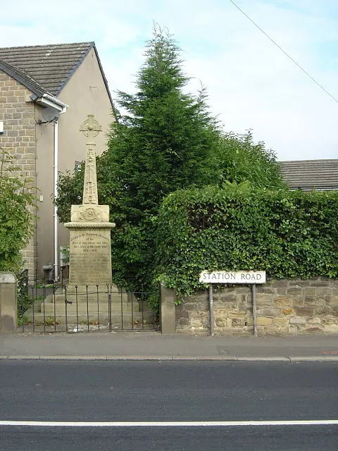
© Alan Murray-Rust · Geograph · CC BY-SA 2.0
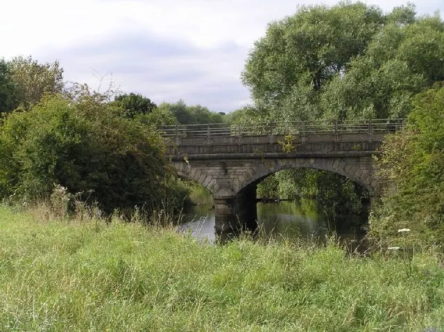
© David Morris · Geograph · CC BY-SA 2.0
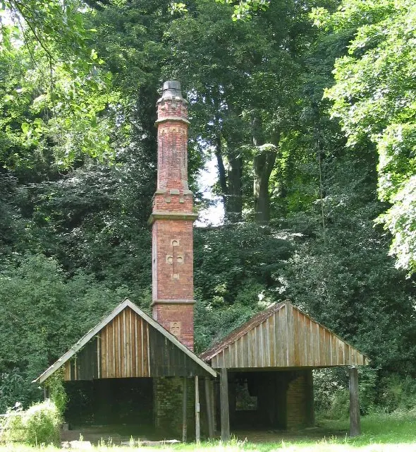
© Dennis Thorley · Geograph · CC BY-SA 2.0
Images © their respective photographers, licensed under CC BY-SA 2.0 and reused here with attribution. Photographs depict listed buildings, churches and monuments near this settlement and may show neighbouring villages.
Data derived from the Open Domesday project (opendomesday.org), based on the Domesday Book dataset compiled by Professor J.J.N. Palmer and team. The Domesday Book (1086) is in the public domain.
Found an inaccuracy? [email protected]