Morton Grange in the Domesday Book (1086)
The settlement of Morton Grange is recorded in William I’s Domesday survey of 1086, entered under the hundred of Allerton in Yorkshire. The survey assessed Morton Grange at 17 carucates of taxable land.
At the time of the survey, Morton Grange supported a recorded population of 36 villagers, 3 smallholders, working 13 ploughs between them.
The valuation dropped between 1066 and 1086. Before 1066, Morton Grange was worth 7 shillings; by 1086 that had dropped to 5 shillings – a fall of 28%. Most Yorkshire villages that lost value on this scale were swept up in the Harrying of the North – William’s scorched-earth campaign of 1069–70.
Resources Recorded at Morton Grange (1086)
- Churches: 1
- Meadow: 5 * 1 furlongs
Other Settlements in Allerton
- Ainderby [Steeple]
- Appleton [Wiske]
- Arncliffe [Hall]
- Birkby
- Borrowby
- Brompton
- Cowesby
- Crosby [Grange]
- Dale [Town]
- Deighton
- Ellerbeck
- Foxton
- Girsby
- Hawnby
The Meaning of the Name
The name Morton Grange is of Anglo-Saxon origin. Its final element derives from the Old English word tūn, a farmstead or village. The first element is most likely a personal name or an early descriptive term, now difficult to recover with certainty. Taken together the name probably meant something close to ‘a farmstead’.
Remarkably, the name has changed little since 1086, when the Domesday scribes wrote it as Morton Grange.
Listed Buildings Near Morton Grange
Historic England records 5 listed buildings within about a mile of Morton Grange. Listing protects structures of special architectural or historic interest, graded I (exceptional), II* (particularly important) and II.
Grade II*
- Church of St Oswald - 0.27 km
Grade II
- Dovecote, North East of Harlsey Hall - 0.31 km
- The Vicarage - 0.37 km
- Priory View - 0.4 km
- Coulson Villa - 0.4 km
Nearby Domesday Settlements
Other places recorded in the 1086 survey within a few miles:
- East Harlsey - 0.0 km N
- West Harlsey - 1.4 km SW
- Ingleby Arncliffe - 2.2 km NE
- Mount Grace - 2.2 km SE
- Foxton - 3.0 km S
- Arncliffe Hall - 3.2 km E
Heritage Around Morton [Grange]
Photographs of churches, listed buildings and monuments in the vicinity, contributed by volunteers to the Geograph project and reused here under a Creative Commons licence.
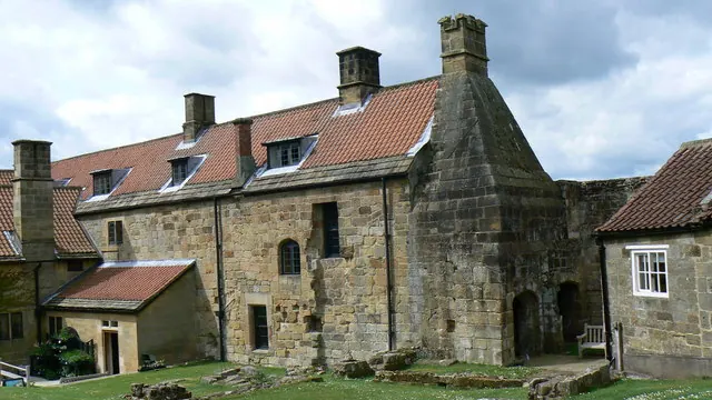
© Paul Howarth · Geograph · CC BY-SA 2.0
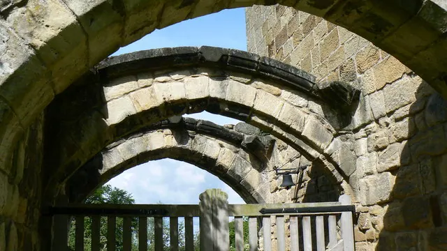
© Paul Howarth · Geograph · CC BY-SA 2.0
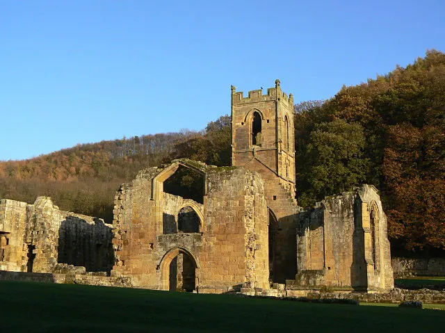
© Alan Murray-Rust · Geograph · CC BY-SA 2.0
Images © their respective photographers, licensed under CC BY-SA 2.0 and reused here with attribution. Photographs depict listed buildings, churches and monuments near this settlement and may show neighbouring villages.
Data derived from the Open Domesday project (opendomesday.org), based on the Domesday Book dataset compiled by Professor J.J.N. Palmer and team. The Domesday Book (1086) is in the public domain.
Found an inaccuracy? [email protected]