Mortham Tower in the Domesday Book (1086)
The settlement of Mortham Tower is recorded in William I’s Domesday survey of 1086, entered under the hundred of Land of Count Alan in Yorkshire.
Other Settlements in Land of Count Alan
- Achebi
- Agglethorpe
- Ainderby [Mires]
- Ainderby [Quernhow]
- Aiskew
- Aldbrough
- Allerthorpe [Hall]
- Ascam
- Ascham
- Asebi
- Aske [Hall]
- Askrigg
- Aysgarth
- Baldersby
The Meaning of the Name
The name Mortham Tower is of Anglo-Saxon origin. Its final element derives from the Old English word hām, a homestead or village. The first element is most likely a personal name or an early descriptive term, now difficult to recover with certainty. Taken together the name probably meant something close to ‘a homestead’.
Remarkably, the name has changed little since 1086, when the Domesday scribes wrote it as Mortham Tower.
Listed Buildings Near Mortham Tower
Historic England records 33 listed buildings within about a mile of Mortham Tower. Listing protects structures of special architectural or historic interest, graded I (exceptional), II* (particularly important) and II.
Grade I
- Mortham Tower - 0.27 km
- Rokeby Park and Attached Stables - 0.44 km
Grade II
- Dairy Bridge Over the River Greta - 0.16 km
- Dairy Bridge Cottage - 0.17 km
- Cross Base Circa 50 Metres North West of Dairy Bridge - 0.19 km
- Group of Tombstones Circa 50 Metres North West of Dairy Bridge - 0.2 km
- Herm of Ceres 40 Metres West of Mortham Tower - 0.31 km
- Terrace Wall to South of Mortham Tower - 0.31 km
- Farmbuildings to East of Mortham Tower and Attached Walls - 0.33 km
- Ice House 40 Metres East of Rokeby Park - 0.36 km
- Sir Walter Scott’s Grotto, in Bank of River Greta South West of Mortham Tower - 0.38 km
- Gunroom on North of Rokeby Park Rear Court - 0.41 km
- 8 Urns on Lawn to South of Rokeby Park - 0.45 km
- Roman Milestone Against West Wall of Rokeby Park - 0.45 km
- Sundial on Lawn West of Rokeby Park - 0.46 km
- Platform With Roman Altars on Lawn West of Rokeby Park - 0.47 km
- Footbridge 220 Metres South East of Mortham Tower - 0.49 km
- Farmbuilding Group to North of Garden House - 0.59 km
- Stableyard Cottage, to South West of Rokeby Park - 0.61 km
- Garden House, Outbuildings and Walls, to South West of Rokeby Park - 0.62 km
- Stable Block 180 Metres South West of Rokeby Park - 0.64 km
- West Lodge and Entrance Screen - 0.71 km
- Wall, Ha-ha Wall and Railings to South of East Shaws Farmhouse - 0.78 km
- East Shaws Farmhouse and Wall Attached to North - 0.82 km
…and 9 more listed structures in the area.
Scheduled Monuments Near Mortham Tower
Scheduled monuments are nationally important archaeological sites given legal protection. 3 lie within roughly a mile of Mortham Tower:
- Remains of St Michael’s Church, 50m north west of Dairy Bridge, Rokeby Park - 0.2 km
- Greta Bridge Roman fort, vicus and section of Roman road - 1.24 km
- Greta Bridge - 1.32 km
Nearby Domesday Settlements
Other places recorded in the 1086 survey within a few miles:
- Rokeby Hall - 0.0 km N
- Thorpe Hall - 2.0 km E
- Egglestone Abbey - 2.2 km NW
- Brignall - 2.2 km SW
- Wycliffe - 3.0 km E
- Barningham - 4.0 km S
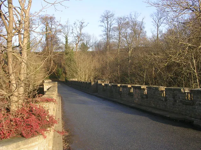
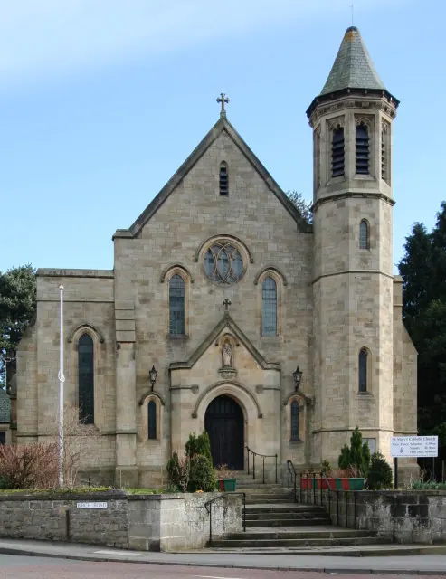
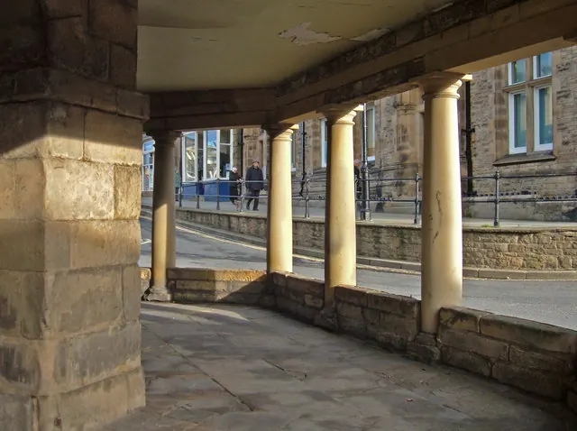
Heritage Around Mortham [Tower]
Photographs of churches, listed buildings and monuments in the vicinity, contributed by volunteers to the Geograph project and reused here under a Creative Commons licence.
© Oliver Dixon · Geograph · CC BY-SA 2.0
© Andy Waddington · Geograph · CC BY-SA 2.0
© michael ely · Geograph · CC BY-SA 2.0
Images © their respective photographers, licensed under CC BY-SA 2.0 and reused here with attribution. Photographs depict listed buildings, churches and monuments near this settlement and may show neighbouring villages.
Location
54.5256°N, -1.8687°W · Land of Count Alan hundred, Yorkshire
View larger map on OpenStreetMap →Data derived from the Open Domesday project (opendomesday.org), based on the Domesday Book dataset compiled by Professor J.J.N. Palmer and team. The Domesday Book (1086) is in the public domain.
Found an inaccuracy? [email protected]