Morley in the Domesday Book (1086)
Morley appears in the Domesday Book of 1086, entered under the hundred of Morleystone in Derbyshire.
Other Settlements in Morleystone
- Bradley
- Breadsall
- Breaston
- Cellesdene
- Chaddesden
- Codnor
- Crich
- Denby
- Derby
- Draycott
- Duffield
- Hallam
- Heanor
- Herdebi
The Meaning of the Name
The name Morley is of Anglo-Saxon origin. Its final element derives from the Old English word lēah, a woodland clearing or glade. The first element is most likely a personal name or an early descriptive term, now difficult to recover with certainty. Taken together the name probably meant something close to ‘a clearing’.
Remarkably, the name has changed little since 1086, when the Domesday scribes wrote it as Morley.
Listed Buildings Near Morley
Historic England records 12 listed buildings within about a mile of Morley. Listing protects structures of special architectural or historic interest, graded I (exceptional), II* (particularly important) and II.
Grade I
- Church of St Matthew - 0.48 km
Grade II*
- Mausoleum West of Saint Matthews Church - 0.48 km
- The Recreation Room Tithe Barn and Dovecote - 0.5 km
Grade II
- The Retreat House - 0.43 km
- The Village Cross - 0.43 km
- Churchyard Cross - 0.46 km
- Church Farmhouse - 0.46 km
- Barn to North of the Recreation Room - 0.51 km
- Morley House Farm - 0.69 km
- Milepost at Os 389 401 - 0.73 km
- Milepost at Os 394 414 - 1.1 km
- Morley Almshouses - 1.26 km
Scheduled Monuments Near Morley
Scheduled monuments are nationally important archaeological sites given legal protection. 1 lies within roughly a mile of Morley:
- Motte south-west of Morley House Farm - 0.68 km
Morley Today
Today Morley lies within the administrative area of Erewash, and the settlement recorded a population of 399 at the 2021 census. Nine and a half centuries separate that figure from the small rural community the Domesday survey recorded here in 1086.
Read more about modern Morley on Wikipedia .
Nearby Domesday Settlements
Other places recorded in the 1086 survey within a few miles:
- Stanley - 3.0 km E
- Breadsall - 3.2 km W
- Little Eaton - 3.2 km W
- Chaddesden - 3.6 km SW
- Herdebi - 3.6 km NW
- Smalley - 4.1 km N
Heritage Around Morley
Photographs of churches, listed buildings and monuments in the vicinity, contributed by volunteers to the Geograph project and reused here under a Creative Commons licence.
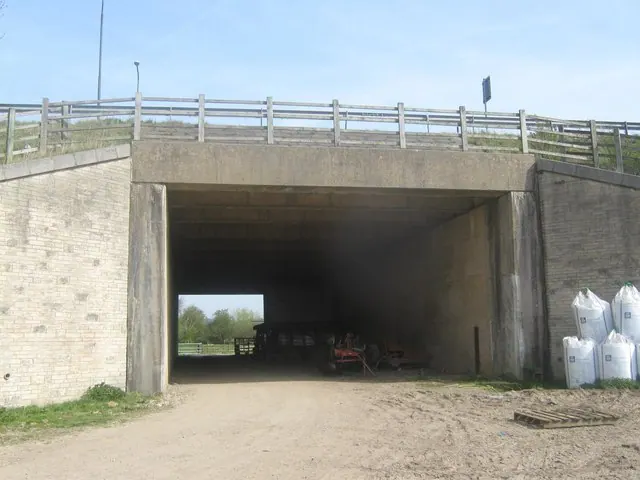
© Eamon Curry · Geograph · CC BY-SA 2.0
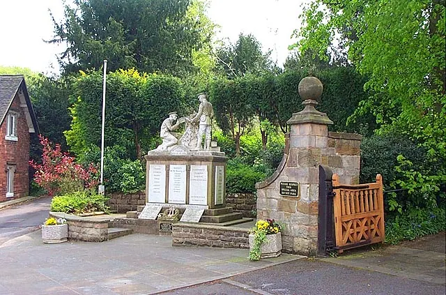
© Garth Newton · Geograph · CC BY-SA 2.0
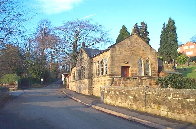
© Garth Newton · Geograph · CC BY-SA 2.0
Images © their respective photographers, licensed under CC BY-SA 2.0 and reused here with attribution. Photographs depict listed buildings, churches and monuments near this settlement and may show neighbouring villages.
Data derived from the Open Domesday project (opendomesday.org), based on the Domesday Book dataset compiled by Professor J.J.N. Palmer and team. The Domesday Book (1086) is in the public domain.
Found an inaccuracy? [email protected]