Moreby Hall in the Domesday Book (1086)
Moreby Hall appears in the Domesday Book of 1086, entered under the hundred of Pocklington in Yorkshire.
Other Settlements in Pocklington
- Allerthorpe
- Barmby [Moor]
- Belthorpe
- Bielby
- Bolton
- Burnby
- Chetelstorp
- Deighton
- Elvington
- Escrick
- Everingham
- Fangfoss
- Gowthorpe
- Greenwick
The Meaning of the Name
The name Moreby Hall is of Scandinavian origin. Its final element derives from the Old Norse word bý, a farmstead or village. The first element is most likely a personal name or an early descriptive term, now difficult to recover with certainty. Taken together the name probably meant something close to ‘a farmstead’.
Names of this type are a fingerprint of Scandinavian settlement: they cluster across the old Danelaw, where Norse-speaking settlers renamed or founded villages from the late 9th century onward.
Remarkably, the name has changed little since 1086, when the Domesday scribes wrote it as Moreby Hall.
Listed Buildings Near Moreby Hall
Historic England records 19 listed buildings within about a mile of Moreby Hall. Listing protects structures of special architectural or historic interest, graded I (exceptional), II* (particularly important) and II.
Grade I
- Bell Hall - 0.45 km
Grade II*
- Moreby Hall - 0.25 km
Grade II
- Gates and Piers to Moreby Hall Approximately 40 Metres to North East of House - 0.2 km
- Urn Approximately 15 Metres to North of Moreby Hall - 0.2 km
- Pair of Garden Urns Approximately 4 Metres to South of Moreby Hall - 0.27 km
- Pair of Garden Urns to Terrace of Moreby Hall Approximately 15 Metres South of Moreby Hall - 0.28 km
- Urn Approximately 40 Metres West of Moreby Hall - 0.29 km
- Pair of Urns on Pedestals to Base of Terrace Steps Approximately 25 Metres to South of Moreby Hall - 0.29 km
- Urn Approximately 50 Metres West, South West of Moreby Hall - 0.31 km
- Urn Approximately 50 Metres to South, South West of Moreby Hall - 0.32 km
- Urn Approximately 100 Metres to South West of Moreby Hall - 0.37 km
- Traceried Window Approximately 175 Metres South West of Moreby Hall - 0.39 km
- Font Approximately 7 Metres to South of Bell Hall - 0.44 km
- Coach House and Stables to Bell Hall Approximately 15 Metres to East of House - 0.48 km
- Pigeon Cote to Bell Hall Approximately 20 Metres East of House - 0.49 km
- Kennels to Bell Hall Approximately 25 Metres East of House - 0.51 km
- Lakeside Folly, Moreby Hall Estate - 0.62 km
- Naburn Lock Old and New Lock - 1.06 km
- Banqueting House - 1.08 km
Nearby Domesday Settlements
Other places recorded in the 1086 survey within a few miles:
- Naburn - 2.0 km N
- Acaster Malbis - 2.2 km NW
- Stillingfleet - 3.0 km S
- Deighton - 3.2 km E
- Chetelstorp - 3.2 km E
- Acaster Selby - 3.6 km SW
Heritage Around Moreby [Hall]
Photographs of churches, listed buildings and monuments in the vicinity, contributed by volunteers to the Geograph project and reused here under a Creative Commons licence.
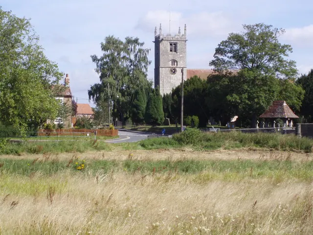
© Graham Hermon · Geograph · CC BY-SA 2.0
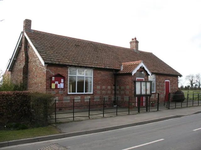
© Gordon Hatton · Geograph · CC BY-SA 2.0
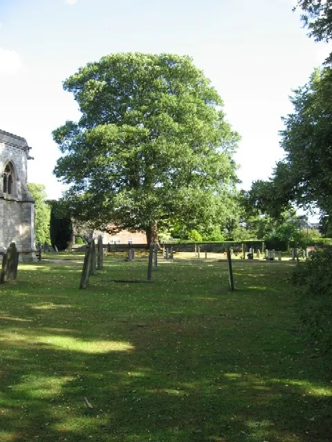
© Roger Gilbertson · Geograph · CC BY-SA 2.0
Images © their respective photographers, licensed under CC BY-SA 2.0 and reused here with attribution. Photographs depict listed buildings, churches and monuments near this settlement and may show neighbouring villages.
Data derived from the Open Domesday project (opendomesday.org), based on the Domesday Book dataset compiled by Professor J.J.N. Palmer and team. The Domesday Book (1086) is in the public domain.
Found an inaccuracy? [email protected]