Monk Hay Stile in the Domesday Book (1086)
Monk Hay Stile is named in the Domesday Book, compiled by Norman commissioners in 1086, entered under the hundred of Barkston in Yorkshire. The survey assessed Monk Hay Stile at 5 carucates of taxable land.
At the time of the survey, Monk Hay Stile supported a recorded population of 3 smallholders, 1 slave, working 2 ploughs between them.
The survey records Monk Hay Stile’s value at 5 shillings in 1086. No pre-Conquest figure survives – not unusual in the North, where records were disrupted by the Harrying and by the patchy coverage of the survey.
Resources Recorded at Monk Hay Stile (1086)
- Meadow: 10 acres
Other Settlements in Barkston
- Barkston
- Barlow
- Birkin
- Bramham
- Brayton
- Burton [Hall]
- Camblesforth
- Carlton
- Clifford
- Drax
- Fairburn
- Grimston [Grange]
- Hambleton
- Hazelwood [Castle]
The Meaning of the Name
The origin of the name Monk Hay Stile is not securely established from its modern form alone; like many settlement names in the North it likely combines an Old English or Old Norse personal name with a landscape term.
Remarkably, the name has changed little since 1086, when the Domesday scribes wrote it as Monk Hay Stile.
Listed Buildings Near Monk Hay Stile
Historic England records 10 listed buildings within about a mile of Monk Hay Stile. Listing protects structures of special architectural or historic interest, graded I (exceptional), II* (particularly important) and II.
Grade I
- The Rotunda in the Black Fen Pleasure Ground - 0.44 km
- Gothic Temple Approximately 370 Metres South of Bramham Park House - 1.18 km
- Obelisk Pond and the Great Cascade Approximately 300 Metres South of Bramham Park House - 1.19 km
- Retaining Wall to South Terrace and Eastern Part of Garden Terminating at the Four Faces Avenue - 1.2 km
- Stone Surround to T Shaped Pond - 1.21 km
Grade II*
- Obelisk and enclosing railings approximately 200m southeast of Rotunda in Black Fen Pleasure Grounds - 0.23 km
- Temple of Leod Lud Approximately 300 Metres Due South of the Rotunda in the Black Fen Pleasure Grounds - 0.28 km
Grade II
- Milepost at Se415398 - 0.61 km
- Monument to Jet in Dogs’ Graveyard Approximately 50 Metres to North of Gothic Temple - 1.24 km
- Gothic Summer House Approximately 200 Metres South of Bramham Park - 1.25 km
Nearby Domesday Settlements
Other places recorded in the 1086 survey within a few miles:
- Cowthwaite - 1.4 km SE
- Kiddal Hall - 2.2 km SW
- Bramham - 2.2 km NE
- Potterton - 2.2 km SW
- Wothersome - 2.2 km NW
- Hazelwood Castle - 3.2 km E
Heritage Around Monk [Hay Stile]
Photographs of churches, listed buildings and monuments in the vicinity, contributed by volunteers to the Geograph project and reused here under a Creative Commons licence.
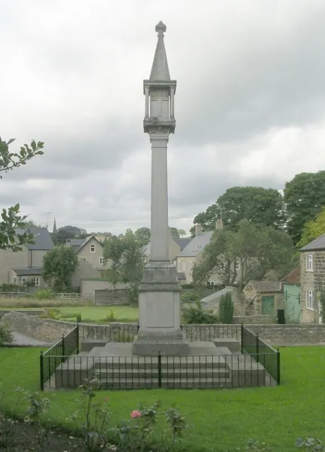
© Betty Longbottom · Geograph · CC BY-SA 2.0
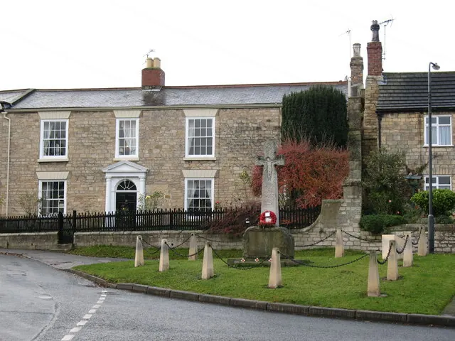
© Gordon Hatton · Geograph · CC BY-SA 2.0
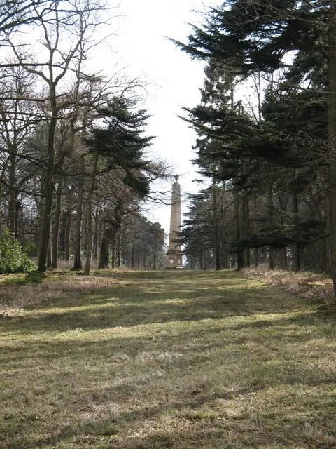
© Gordon Hatton · Geograph · CC BY-SA 2.0
Images © their respective photographers, licensed under CC BY-SA 2.0 and reused here with attribution. Photographs depict listed buildings, churches and monuments near this settlement and may show neighbouring villages.
Data derived from the Open Domesday project (opendomesday.org), based on the Domesday Book dataset compiled by Professor J.J.N. Palmer and team. The Domesday Book (1086) is in the public domain.
Found an inaccuracy? [email protected]