Monk Bretton in the Domesday Book (1086)
The settlement of Monk Bretton is recorded in William I’s Domesday survey of 1086, entered under the hundred of Staincross in Yorkshire.
Other Settlements in Staincross
- Adlingfleet
- Barnby [Hall]
- Barnsley
- Barugh
- Brierley
- Carlton
- Cawthorne
- Chevet
- Clactone
- Clayton [West]
- Darton
- Dodworth
- Hemsworth
- Hoyland [Swaine]
The Meaning of the Name
The name Monk Bretton is of Anglo-Saxon origin. Its final element derives from the Old English word tūn, a farmstead or village. The first element is most likely a personal name or an early descriptive term, now difficult to recover with certainty. Taken together the name probably meant something close to ‘a farmstead’.
Remarkably, the name has changed little since 1086, when the Domesday scribes wrote it as Monk Bretton.
Listed Buildings Near Monk Bretton
Historic England records 13 listed buildings within about a mile of Monk Bretton. Listing protects structures of special architectural or historic interest, graded I (exceptional), II* (particularly important) and II.
Grade I
- Gatehouse to Monk Bretton Priory - 1.09 km
- Administration Building at Monk Bretton Priory - 1.12 km
- Monk Bretton Priory Remains - 1.24 km
Grade II
- Church of St Paul - 0.28 km
- Osborne House - 0.33 km
- Dovecote at Cricket Farm - 0.47 km
- Market Cross at Junction With High Street - 0.57 km
- Farmbuildings Approximately 20 Metres to South of Manor Farmhouse - 0.64 km
- Cartshed Approximately 40 Metres to South of Manor Farmhouse - 0.64 km
- Manor Farmhouse - 0.66 km
- Farmbuildings Approximately 20 Metres to North of Manor Farmhouse - 0.69 km
- Barnsley Main Colliery engine house and pithead structures - 1.09 km
- Priory Mill - 1.26 km
Scheduled Monuments Near Monk Bretton
Scheduled monuments are nationally important archaeological sites given legal protection. 2 lie within roughly a mile of Monk Bretton:
- Monk Bretton standing cross - 0.57 km
- Monk Bretton Priory Cluniac and Benedictine monastery: monastic precinct and two fishponds - 1.19 km
Nearby Domesday Settlements
Other places recorded in the 1086 survey within a few miles:
- Barnsley - 2.2 km SW
- Carlton - 3.0 km N
- Royston - 4.0 km N
- Worsborough - 4.1 km S
- Keresforth Hall - 4.2 km SW
- Shafton - 5.0 km NE
Heritage Around [Monk] Bretton
Photographs of churches, listed buildings and monuments in the vicinity, contributed by volunteers to the Geograph project and reused here under a Creative Commons licence.
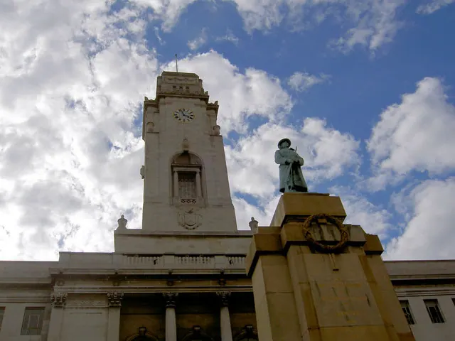
© Steve Fareham · Geograph · CC BY-SA 2.0
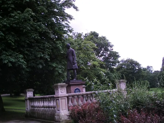
© Peter Beard · Geograph · CC BY-SA 2.0
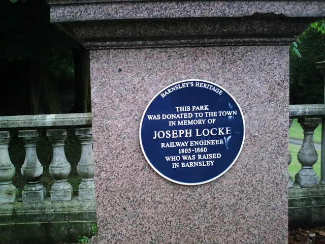
© Peter Beard · Geograph · CC BY-SA 2.0
Images © their respective photographers, licensed under CC BY-SA 2.0 and reused here with attribution. Photographs depict listed buildings, churches and monuments near this settlement and may show neighbouring villages.
Data derived from the Open Domesday project (opendomesday.org), based on the Domesday Book dataset compiled by Professor J.J.N. Palmer and team. The Domesday Book (1086) is in the public domain.
Found an inaccuracy? [email protected]