Mollington in the Domesday Book (1086)
The 1086 Domesday survey records the settlement of Mollington, entered under the hundred of Willaston in Cheshire.
Other Settlements in Willaston
The Meaning of the Name
The name Mollington is of Anglo-Saxon origin. Its final element derives from the Old English word tūn, a farmstead or village. The first element is most likely a personal name or an early descriptive term, now difficult to recover with certainty. Taken together the name probably meant something close to ‘a farmstead’.
Remarkably, the name has changed little since 1086, when the Domesday scribes wrote it as Mollington.
Listed Buildings Near Mollington
Historic England records 13 listed buildings within about a mile of Mollington. Listing protects structures of special architectural or historic interest, graded I (exceptional), II* (particularly important) and II.
Grade II*
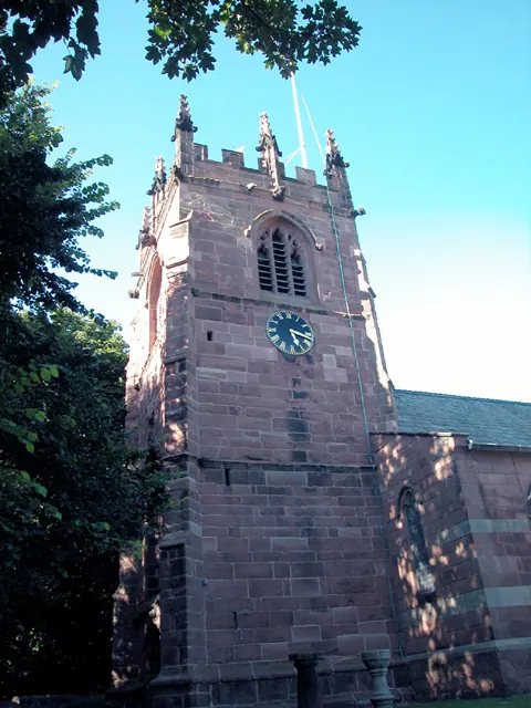
- Church of St Oswald - 1.25 km
Grade II
- Railway Viaduct Over the Shropshire Union Canal - 0.2 km
- Icehouse - 0.58 km
- Barn 25 Metres South East of Willow Farmhouse - 0.89 km
- Sundial in the Garden at the Willows - 0.89 km
- The Willows - 0.91 km
- Footpath Guidepost in North West Corner of the Garden of Longlands - 0.93 km
- Home Farmhouse and Front Garden Walls For 100 Metres to Either Side of Gateway - 1.05 km
- Knolls Bridge (Canal Bridge Number 131) - 1.22 km
- Parish Boundary Stone in the Grounds of Chester Zoo - 1.22 km
- Churchyard Walls and Gateway to Church of St Oswald - 1.22 km
- Sundial in Churchyard of St Oswalds Church, Backford - 1.23 km
- Table Tomb Bearing Margel Arms Churchyard of St Oswalds Church Immediately East of Chancel - 1.25 km
Mollington Today
Today Mollington lies within the administrative area of Cheshire West and Chester, and the settlement recorded a population of 735 at the 2021 census. Nine and a half centuries separate that figure from the small rural community the Domesday survey recorded here in 1086.
Read more about modern Mollington on Wikipedia .
Nearby Domesday Settlements
Other places recorded in the 1086 survey within a few miles:
- Upton by Chester - 1.4 km SE
- Wervin - 2.2 km NE
- Lea - 2.2 km NW
- Newton by Chester - 2.8 km SE
- Croughton - 2.8 km NE
- Great and Little Saughall - 3.0 km W
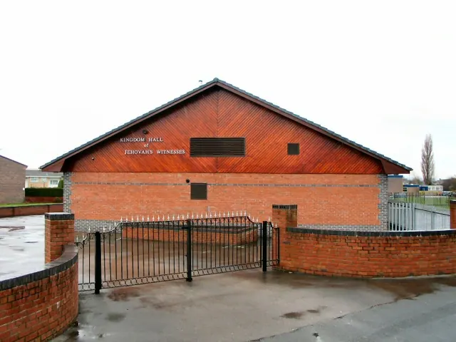
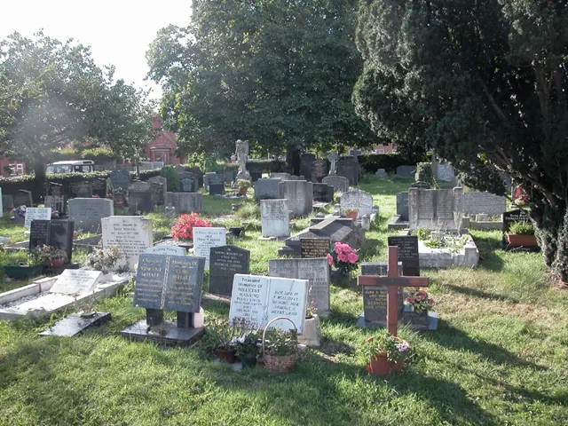
Heritage Around Mollington
Photographs of churches, listed buildings and monuments in the vicinity, contributed by volunteers to the Geograph project and reused here under a Creative Commons licence.
© Dennis Turner · Geograph · CC BY-SA 2.0
© Josie Carman · Geograph · CC BY-SA 2.0
© Dennis Turner · Geograph · CC BY-SA 2.0
Images © their respective photographers, licensed under CC BY-SA 2.0 and reused here with attribution. Photographs depict listed buildings, churches and monuments near this settlement and may show neighbouring villages.
Data derived from the Open Domesday project (opendomesday.org), based on the Domesday Book dataset compiled by Professor J.J.N. Palmer and team. The Domesday Book (1086) is in the public domain.
Found an inaccuracy? [email protected]