Molescroft in the Domesday Book (1086)
Molescroft is named in the Domesday Book, compiled by Norman commissioners in 1086, entered under the hundred of Sneculfcros in Yorkshire.
Other Settlements in Sneculfcros
- Aike
- Beswick
- Beverley
- Bracken
- Dunnington
- Etton
- Gardham
- Grimston
- Holme [on the Wolds]
- Ianulfestorp
- Kilnwick
- Leconfield
- Lockington
- Middleton [on the Wolds]
The Meaning of the Name
The origin of the name Molescroft is not securely established from its modern form alone; like many settlement names in the North it likely combines an Old English or Old Norse personal name with a landscape term.
Remarkably, the name has changed little since 1086, when the Domesday scribes wrote it as Molescroft.
Listed Buildings Near Molescroft
Historic England records 286 listed buildings within about a mile of Molescroft. Listing protects structures of special architectural or historic interest, graded I (exceptional), II* (particularly important) and II.
Grade II*
- The Sessions House - 0.3 km
- 62, North Bar Without - 0.46 km
Grade II
- Lamp Standard on the Pavement at Junction With Bainton Close, New Walk - 0.24 km
- 20, New Walk - 0.29 km
- Wall to Nos 5 to 13 (Odd) - 0.31 km
- Lamp Standard on the Pavement in Front of the Boundary of 16 and 18, New Walk - 0.32 km
- Sessions House, Urinal to South East - 0.33 km
- Lamp Standard in Grass Verge Adjacent to 15, New Walk - 0.35 km
- 15 and 17, New Walk - 0.35 km
- Pillar Box on Pavement by Garden Gate of 12, New Walk - 0.36 km
- Westfield - 0.36 km
- 8 and 10, New Walk - 0.38 km
- Lamp Standard on the Pavement in Front of 8, New Walk - 0.38 km
- Lamp Standard in Grass Verge Adjacent to 9, New Walk - 0.39 km
- 2-6, New Walk - 0.41 km
- Garden Wall and Three Sets of Gatepiers to 2 to 6, New Walk - 0.41 km
- Lamp Standard in Grass Verge Adjacent to 1, New Walk - 0.43 km
- 64 and 66, North Bar Without - 0.44 km
- 55 and 57, North Bar Without - 0.45 km
- Lamp Standard on the Pavement at the Boundary of 62 and 64, North Bar Without - 0.45 km
- Wall and Gate Piers to 62, North Bar Without - 0.46 km
- Lamp Standard in Grass Verge Adjacent to 53, North Bar Without - 0.46 km
- 53, North Bar Without - 0.46 km
- 47 and 49, North Bar Without - 0.48 km
…and 262 more listed structures in the area.
Scheduled Monuments Near Molescroft
Scheduled monuments are nationally important archaeological sites given legal protection. 9 lie within roughly a mile of Molescroft:
- Bowl barrow on Westwood Common, 610m north west of Blackmill - 1.2 km
- Square barrow on Westwood Common, 230m NNW of Blackmill - 1.39 km
- Square barrow on Westwood Common, 230m north west of Blackmill - 1.43 km
- Bowl barrow on Westwood Common, 150m north of Blackmill - 1.44 km
- Site of Preceptory of the Holy Trinity (Knights Hospitallers) - 1.47 km
- Bowl barrow on Westwood Common, 50m north of Blackmill - 1.51 km
- Square barrow on Westwood Common, 150m north west of Blackmill - 1.51 km
- Group of four square barrows on Westwood Common, 200m north west of Blackmill - 1.56 km
- Oval barrow on Westwood Common, 55m north west of Blackmill - 1.56 km
Molescroft Today
Today Molescroft lies within the administrative area of East Riding of Yorkshire, and the settlement recorded a population of 7,384 at the 2021 census. Nine and a half centuries separate that figure from the small rural community the Domesday survey recorded here in 1086.
Read more about modern Molescroft on Wikipedia .
Nearby Domesday Settlements
Other places recorded in the 1086 survey within a few miles:
- Beverley - 1.4 km SE
- Storkhill - 2.8 km NE
- Raventhorpe - 2.8 km NW
- Bishop Burton - 3.2 km W
- Cherry Burton - 3.2 km W
- Leconfield - 3.2 km N
Heritage Around Molescroft
Photographs of churches, listed buildings and monuments in the vicinity, contributed by volunteers to the Geograph project and reused here under a Creative Commons licence.
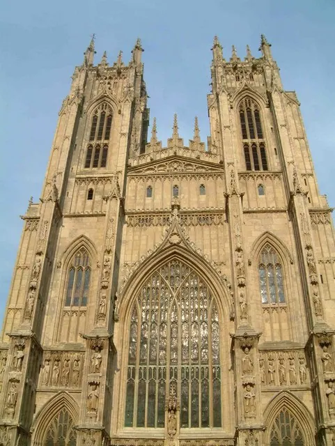
© Graham Hermon · Geograph · CC BY-SA 2.0
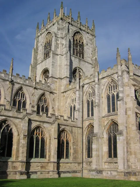
© Stephen Horncastle · Geograph · CC BY-SA 2.0
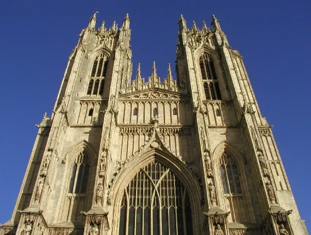
© Andy Beecroft · Geograph · CC BY-SA 2.0
Images © their respective photographers, licensed under CC BY-SA 2.0 and reused here with attribution. Photographs depict listed buildings, churches and monuments near this settlement and may show neighbouring villages.
Data derived from the Open Domesday project (opendomesday.org), based on the Domesday Book dataset compiled by Professor J.J.N. Palmer and team. The Domesday Book (1086) is in the public domain.
Found an inaccuracy? [email protected]