Mobberley in the Domesday Book (1086)
Mobberley is named in the Domesday Book, compiled by Norman commissioners in 1086, entered under the hundred of Bucklow in Cheshire.
Other Settlements in Bucklow
- Appleton
- Ashley
- Aston [by Budworth]
- Aston [by Sutton]
- Bartington
- Clifton
- Dunham [Massey]
- Eanley
- Grappenhall
- Lymm
- Northenden
- Norton
- Ollerton
- Tatton
The Meaning of the Name
The name Mobberley is of Anglo-Saxon origin. Its final element derives from the Old English word lēah, a woodland clearing or glade. The first element is most likely a personal name or an early descriptive term, now difficult to recover with certainty. Taken together the name probably meant something close to ‘a clearing’.
Remarkably, the name has changed little since 1086, when the Domesday scribes wrote it as Mobberley.
Listed Buildings Near Mobberley
Historic England records 17 listed buildings within about a mile of Mobberley. Listing protects structures of special architectural or historic interest, graded I (exceptional), II* (particularly important) and II.
Grade I
- Church of St Wilfrid - 0.52 km
Grade II*
- The Old Hall - 1.0 km
Grade II
- Cross Base in St Wilfred’s Churchyard - 0.54 km
- Parish Stocks in Front of East Wall of St Wilfred’s Churchyard - 0.55 km
- Church Inn - 0.56 km
- The Old Rectory - 0.62 km
- Grove House - 0.8 km
- Forge Cottage - 0.85 km
- Baguleygreen Farmhouse - 0.88 km
- Old Smithy Cottage - 0.89 km
- Beech Cottage - 0.91 km
- Yew Tree Cottage - 0.93 km
- Roebuck Inn - 0.96 km
- Wall and Gate Piers Before North West Front of the Old Hall - 0.98 km
- Lake House - 1.01 km
- Stables and Garage at Mobberley Old Hall - 1.02 km
- Damhead House - 1.17 km
Scheduled Monuments Near Mobberley
Scheduled monuments are nationally important archaeological sites given legal protection. 1 lies within roughly a mile of Mobberley:
- Standing cross St Wilfrid’s churchyard - 0.53 km
Mobberley Today
Today Mobberley lies within the administrative area of Cheshire East, and the settlement recorded a population of 3,120 at the 2021 census. Nine and a half centuries separate that figure from the small rural community the Domesday survey recorded here in 1086.
Read more about modern Mobberley on Wikipedia .
Nearby Domesday Settlements
Other places recorded in the 1086 survey within a few miles:
Heritage Around Mobberley
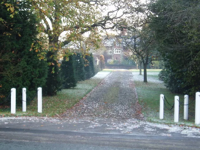
Photographs of churches, listed buildings and monuments in the vicinity, contributed by volunteers to the Geograph project and reused here under a Creative Commons licence.

© Ian Warburton · Geograph · CC BY-SA 2.0

© Gary Rogers · Geograph · CC BY-SA 2.0
© Ian Warburton · Geograph · CC BY-SA 2.0
Images © their respective photographers, licensed under CC BY-SA 2.0 and reused here with attribution. Photographs depict listed buildings, churches and monuments near this settlement and may show neighbouring villages.
Data derived from the Open Domesday project (opendomesday.org), based on the Domesday Book dataset compiled by Professor J.J.N. Palmer and team. The Domesday Book (1086) is in the public domain.
Found an inaccuracy? [email protected]