Mirfield in the Domesday Book (1086)
Mirfield appears in the Domesday Book of 1086, entered under the hundred of Morley in Yorkshire.
Other Settlements in Morley
- Allerton
- Armley
- Batley
- Beeston
- Bolton
- Bowling
- Bradford
- Bramley
- Calverley
- Carlton
- Chellow [Grange]
- Clayton
- Clifton
- Cruttonstall
The Meaning of the Name
The name Mirfield is of Anglo-Saxon origin. Its final element derives from the Old English word feld, open country. The first element is most likely a personal name or an early descriptive term, now difficult to recover with certainty. Taken together the name probably meant something close to ‘a open land’.
Remarkably, the name has changed little since 1086, when the Domesday scribes wrote it as Mirfield.
Listed Buildings Near Mirfield
Historic England records 33 listed buildings within about a mile of Mirfield. Listing protects structures of special architectural or historic interest, graded I (exceptional), II* (particularly important) and II.
Grade II*
- The Old Rectory - 0.44 km
- Church of St Mary - 0.55 km
Grade II
- Ivy Lodge - 0.26 km
- Over Hall - 0.28 km
- Holmedene - 0.46 km
- Thorpe Cottage - 0.54 km
- Boundary Wall, Railings, Gates and Gate Piers to South and West Sides of Church of St Mary - 0.54 km
- Tower of Old Church of St Mary - 0.59 km
- Tablet Fixed to Tower of Old Church of St Mary - 0.59 km
- Stocks 20 Yards to South of Main Gate to Church of St Mary - 0.59 km
- Raised Grave Slab to Wraith Family, 15 Yards to South West of Towerof Old Church of St Mary - 0.63 km
- Mirfield war memorial - 0.66 km
- Wellhouse Farmhouse - 0.67 km
- Gatepiers and Gates to Water Hall - 0.69 km
- Front Wall, Railings and Gatepiers to Trinity Methodist Church - 0.71 km
- Water Hall - 0.73 km
- Trinity Methodist Church - 0.74 km
- Barn Immediately South West of Balderstone Hall - 0.77 km
- Garden Wall, Gates and Gatepiers to Front of Balderstone Hall - 0.79 km
- Detached House Approximately 50 Yards South East of Number 115 - 0.8 km
- Balderstone Hall - 0.8 km
- Range of Barns to Rear of Balderstone Hall - 0.8 km
- Church of St Paul - 0.86 km
- Former Lock-keepers Cottage - 0.9 km
…and 9 more listed structures in the area.
Scheduled Monuments Near Mirfield
Scheduled monuments are nationally important archaeological sites given legal protection. 1 lies within roughly a mile of Mirfield:
- Castle Hall Hill motte and bailey castle - 0.51 km
Mirfield Today
Today Mirfield lies within the administrative area of Kirklees, and the settlement recorded a population of 19,759 at the 2021 census. Nine and a half centuries separate that figure from the small rural community the Domesday survey recorded here in 1086.
Read more about modern Mirfield on Wikipedia .
Nearby Domesday Settlements
Other places recorded in the 1086 survey within a few miles:
- Upper Hopton - 2.2 km SW
- Hartshead - 2.8 km NW
- Bradley - 3.0 km W
- Liversedge - 3.2 km N
- Kirkheaton - 3.6 km SW
- Lower Whitley - 3.6 km SE
Heritage Around Mirfield
Photographs of churches, listed buildings and monuments in the vicinity, contributed by volunteers to the Geograph project and reused here under a Creative Commons licence.
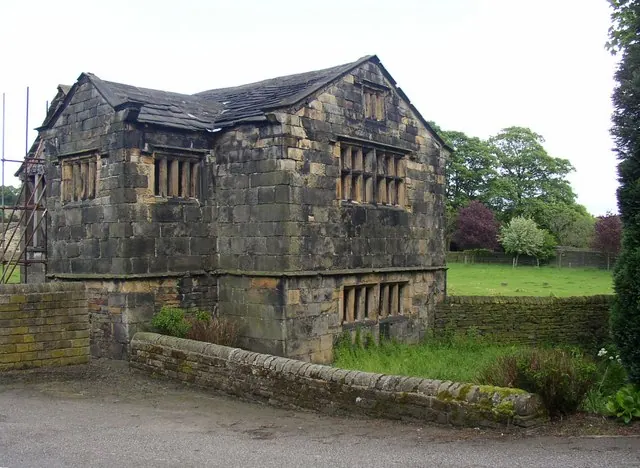
© Humphrey Bolton · Geograph · CC BY-SA 2.0
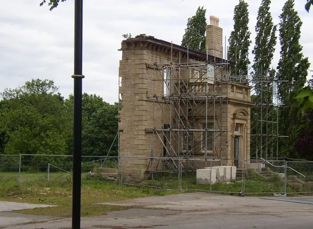
© Humphrey Bolton · Geograph · CC BY-SA 2.0
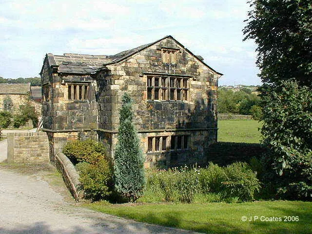
© John P Coates · Geograph · CC BY-SA 2.0
Images © their respective photographers, licensed under CC BY-SA 2.0 and reused here with attribution. Photographs depict listed buildings, churches and monuments near this settlement and may show neighbouring villages.
Data derived from the Open Domesday project (opendomesday.org), based on the Domesday Book dataset compiled by Professor J.J.N. Palmer and team. The Domesday Book (1086) is in the public domain.
Found an inaccuracy? [email protected]