Mint House in the Domesday Book (1086)
Mint House appears in the Domesday Book of 1086, entered under the hundred of Amounderness in Yorkshire. The survey assessed Mint House at 0.3 carucates of taxable land.
The survey puts Mint House’s value at 2d, the same as before the Conquest. Unchanged valuations are relatively rare in the North, where disruption was widespread.
The survey lists 2 manors at Mint House under different lords. Splitting a single settlement between multiple tenants was common across the North – Saxon estates broken up and handed to William’s followers after 1066.
Other Settlements in Amounderness
- Aighton
- Aldcliffe
- Aldingham
- Arkholme
- Aschebi
- Ashton [Hall]
- Ashton [on Ribble]
- Austwick
- Barbon
- Bardsea
- Bare
- Barnoldswick
- Barton
- Beetham
The Meaning of the Name
The origin of the name Mint House is not securely established from its modern form alone; like many settlement names in the North it likely combines an Old English or Old Norse personal name with a landscape term.
Remarkably, the name has changed little since 1086, when the Domesday scribes wrote it as Mint House.
Listed Buildings Near Mint House
Historic England records 11 listed buildings within about a mile of Mint House. Listing protects structures of special architectural or historic interest, graded I (exceptional), II* (particularly important) and II.
Grade II*
- Gilthwaiterigg - 0.99 km
Grade II
- Threshing Barn and Gin Gang to North East of Spital Farmhouse - 0.17 km
- Spital Farmhouse - 0.19 km
- Coach House to North-east of Mint House - 0.42 km
- Mint House and Barn - 0.44 km
- Mint Cottage - 0.53 km
- Garden House - 0.87 km
- 46 and 48, Appleby Road - 1.11 km
- Catholic Chapel of Ss Robert and Alice and Presbytery, Dodding Green - 1.14 km
- Laverock Bridge - 1.19 km
- 109, Burneside Road - 1.26 km
Nearby Domesday Settlements
Other places recorded in the 1086 survey within a few miles:
- Kendal - 2.2 km SW
- Patton Hall - 2.8 km NE
- Strickland Roger - 4.2 km NW
- Bothelford - 5.1 km S
- Helsington - 5.4 km S
- Old Hutton - 7.2 km SE
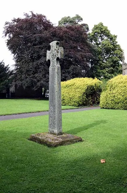
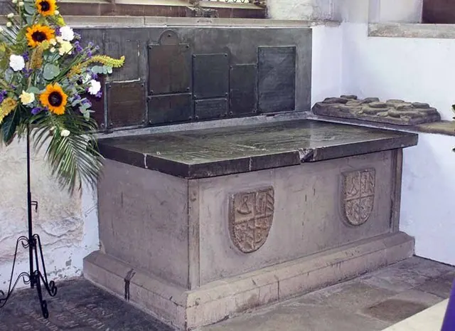
Heritage Around Mint [House]
Photographs of churches, listed buildings and monuments in the vicinity, contributed by volunteers to the Geograph project and reused here under a Creative Commons licence.

© PAUL FARMER · Geograph · CC BY-SA 2.0
© John Salmon · Geograph · CC BY-SA 2.0
© John Salmon · Geograph · CC BY-SA 2.0
Images © their respective photographers, licensed under CC BY-SA 2.0 and reused here with attribution. Photographs depict listed buildings, churches and monuments near this settlement and may show neighbouring villages.
Data derived from the Open Domesday project (opendomesday.org), based on the Domesday Book dataset compiled by Professor J.J.N. Palmer and team. The Domesday Book (1086) is in the public domain.
Found an inaccuracy? [email protected]