Minsthorpe in the Domesday Book (1086)
The settlement of Minsthorpe is recorded in William I’s Domesday survey of 1086, entered under the hundred of Osgodcross in Yorkshire.
Other Settlements in Osgodcross
- Arksey
- Badsworth
- Beal
- Burgh[wallis]
- Campsall
- Darrington
- Featherstone
- Ferry [Fryston]
- Hamphall [Stubbs]
- Hensall
- Hessle
- Kellington
- Knottingley
- Newsham
The Meaning of the Name
The name Minsthorpe is of Scandinavian origin. Its final element derives from the Old Norse word þorp, an outlying or secondary farmstead. The first element is most likely a personal name or an early descriptive term, now difficult to recover with certainty. Taken together the name probably meant something close to ‘a outlying farm’.
Names of this type are a fingerprint of Scandinavian settlement: they cluster across the old Danelaw, where Norse-speaking settlers renamed or founded villages from the late 9th century onward.
Remarkably, the name has changed little since 1086, when the Domesday scribes wrote it as Minsthorpe.
Listed Buildings Near Minsthorpe
Historic England records 6 listed buildings within about a mile of Minsthorpe. Listing protects structures of special architectural or historic interest, graded I (exceptional), II* (particularly important) and II.
Grade II
- Milepost in Front of Milestone House - 0.23 km
- Church of St Margaret - 0.28 km
- Park View the Cottage - 0.33 km
- The Old Hall - 0.65 km
- Barn Approximately 10 Metres East of Old Hall - 0.68 km
- Hill House Rock House Farmhouse - 1.0 km
Minsthorpe Today
Today Minsthorpe lies within the administrative area of Upton and North Elmsall, and the settlement recorded a population of 4,066 at the 2021 census. Nine and a half centuries separate that figure from the small rural community the Domesday survey recorded here in 1086.
Read more about modern North Elmsall on Wikipedia .
Nearby Domesday Settlements
Other places recorded in the 1086 survey within a few miles:
- North Elmsall - 0.0 km N
- Upton - 1.0 km N
- South Elmsall - 1.0 km S
- Moorthorpe - 1.4 km SW
- South Kirkby - 2.2 km SW
- Hamphall Stubbs - 2.2 km SE
Heritage Around Minsthorpe
Photographs of churches, listed buildings and monuments in the vicinity, contributed by volunteers to the Geograph project and reused here under a Creative Commons licence.
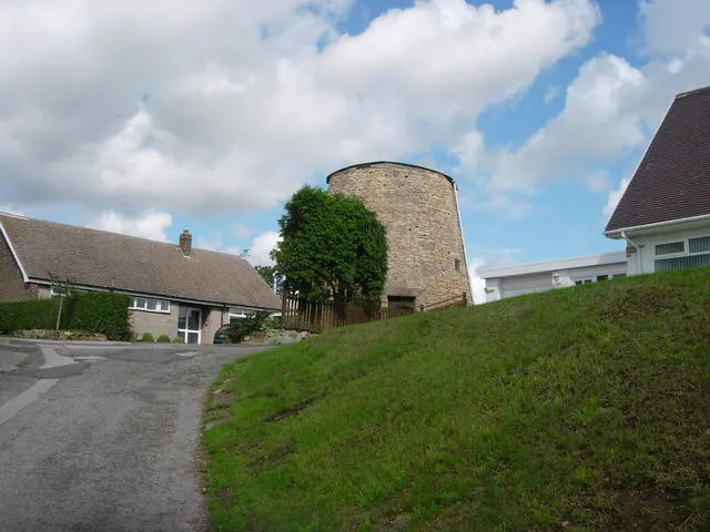
© Bob Paterson · Geograph · CC BY-SA 2.0
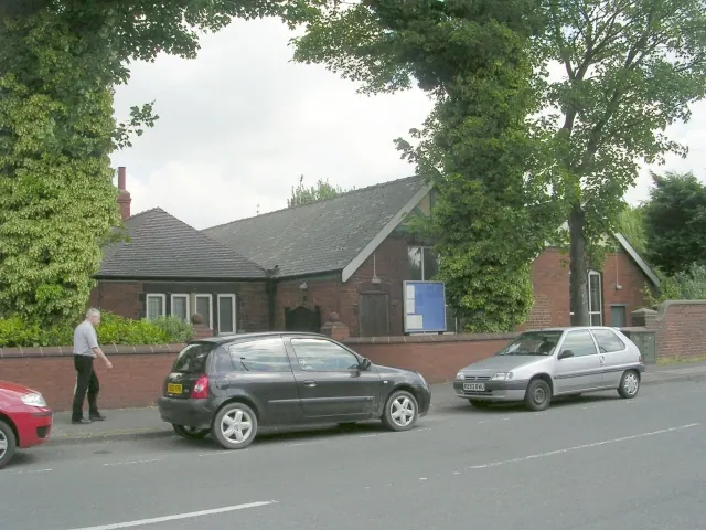
© Betty Longbottom · Geograph · CC BY-SA 2.0
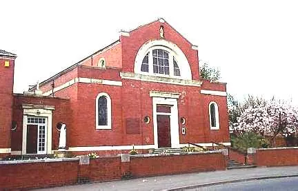
© Bill Henderson · Geograph · CC BY-SA 2.0
Images © their respective photographers, licensed under CC BY-SA 2.0 and reused here with attribution. Photographs depict listed buildings, churches and monuments near this settlement and may show neighbouring villages.
Data derived from the Open Domesday project (opendomesday.org), based on the Domesday Book dataset compiled by Professor J.J.N. Palmer and team. The Domesday Book (1086) is in the public domain.
Found an inaccuracy? [email protected]