Milton in the Domesday Book (1086)
Milton is named in the Domesday Book, compiled by Norman commissioners in 1086, entered under the hundred of Walecros in Derbyshire.
Other Settlements in Walecros
- Appleby [Magna]
- Bolun
- Bretby
- Caldwell
- Catton
- Coton [-in-the-Elms]
- Drakelowe
- Foremark
- Hartshorne
- Hearthcote
- Ingleby
- Lullington
- Melbourne
- Newton [Solney]
The Meaning of the Name
The name Milton is of Anglo-Saxon origin. Its final element derives from the Old English word tūn, a farmstead or village. The first element is most likely a personal name or an early descriptive term, now difficult to recover with certainty. Taken together the name probably meant something close to ‘a farmstead’.
Remarkably, the name has changed little since 1086, when the Domesday scribes wrote it as Milton.
Listed Buildings Near Milton
Historic England records 17 listed buildings within about a mile of Milton. Listing protects structures of special architectural or historic interest, graded I (exceptional), II* (particularly important) and II.
Grade I
- Church of St Saviour - 0.37 km
- Foremark Hall - 0.65 km
Grade II*
Grade II
- Mill Farmhouse - 0.36 km
- Home Farmhouse - 0.44 km
- Spring Head at Os 330262 - 0.5 km
- Dovecote at Brook Farm - 0.54 km
- Brook Farmhouse - 0.54 km
- K6 Telephone Kiosk - 0.54 km
- Ice House at Os 331 262 - 0.54 km
- Common Farmhouse - 0.55 km
- No 22 Kirby Holt and Attached Walls, Gate Piers and Railings - 0.56 km
- The Farmhouse and Attached Walls and Railings - 0.57 km
- Wall and balustrade at south end of lake at Foremarke Hall - 0.68 km
- Gate, Attached Steps, Walls and Railings to South East of Foremark Hall - 0.71 km
- Kitchen Gardens to the East of Foremark Hall - 0.86 km
- Garden Temple at Foremark Hall - 0.98 km
Milton Today
Today Milton lies within the administrative area of Repton.
Read more about modern Milton on Wikipedia .
Nearby Domesday Settlements
Other places recorded in the 1086 survey within a few miles:
Heritage Around Milton
Photographs of churches, listed buildings and monuments in the vicinity, contributed by volunteers to the Geograph project and reused here under a Creative Commons licence.
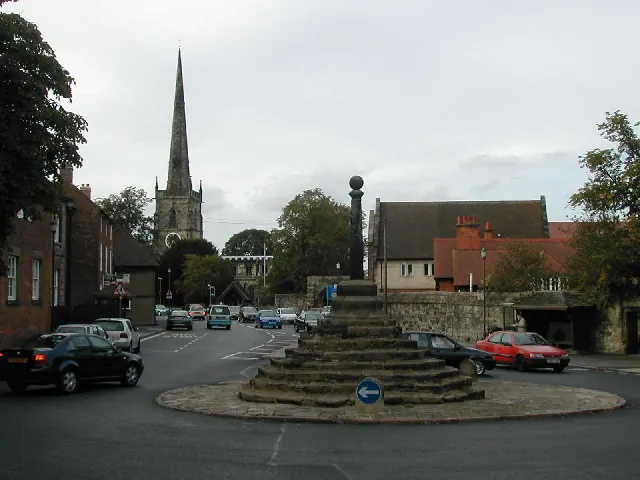
© Peter Shone · Geograph · CC BY-SA 2.0
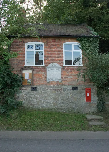
© Phil Myott · Geograph · CC BY-SA 2.0
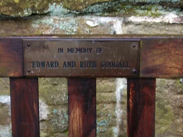
© P L Chadwick · Geograph · CC BY-SA 2.0
Images © their respective photographers, licensed under CC BY-SA 2.0 and reused here with attribution. Photographs depict listed buildings, churches and monuments near this settlement and may show neighbouring villages.
Data derived from the Open Domesday project (opendomesday.org), based on the Domesday Book dataset compiled by Professor J.J.N. Palmer and team. The Domesday Book (1086) is in the public domain.
Found an inaccuracy? [email protected]