Milby in the Domesday Book (1086)
The settlement of Milby is recorded in William I’s Domesday survey of 1086, entered under the hundred of Hallikeld in Yorkshire.
Other Settlements in Hallikeld
- Brampton [Hall]
- Caldeuuelle
- Cundall
- Dishforth
- Ellenthorpe [Hall]
- Givendale
- Hashundebi
- Holme
- Howgrave
- Hutton [Conyers]
- Kirby [Hill]
- Leckby [Palace]
- Markington
- Norton [Conyers]
The Meaning of the Name
The name Milby is of Scandinavian origin. Its final element derives from the Old Norse word bý, a farmstead or village. The first element is most likely a personal name or an early descriptive term, now difficult to recover with certainty. Taken together the name probably meant something close to ‘a farmstead’.
Names of this type are a fingerprint of Scandinavian settlement: they cluster across the old Danelaw, where Norse-speaking settlers renamed or founded villages from the late 9th century onward.
Remarkably, the name has changed little since 1086, when the Domesday scribes wrote it as Milby.
Listed Buildings Near Milby
Historic England records 67 listed buildings within about a mile of Milby. Listing protects structures of special architectural or historic interest, graded I (exceptional), II* (particularly important) and II.
Grade I
- Church of St Andrew - 1.05 km
Grade II*
- Aldborough Hall - 1.04 km
Grade II
- Ellenthorpe Hall - 0.6 km
- The Firs - 0.93 km
- Laurel House - 0.93 km
- Aldborough Lodge - 0.94 km
- Station House - 0.94 km
- Forecourt Walls, Railings and Gate of Aldborough Lodge, to South - 0.94 km
- Manor Farmhouse, Front Wall and Railings - 0.98 km
- Aldborough Manor - 0.98 km
- Gardeners Cottage - 0.99 km
- Building Linking Aldborough Manor and Manor Cottage and Flats - 0.99 km
- Manor Cottage - 0.99 km
- Glebe Cottage - 1.0 km
- The Ship Inn - 1.0 km
- Village Cross - 1.01 km
- Sutton Farmhouse - 1.01 km
- Manor Cottage and Flats - 1.01 km
- The Cottage - 1.02 km
- Aldborough Hall Walls and Gateway to North East of House - 1.03 km
- Chest tomb of Mark Smithson, at base of Church Tower, to south - 1.05 km
- Memorial Slab Lying to East of Path, Circa 60 Feet to South of South Door - 1.07 km
- Boroughbridge Hall - 1.07 km
- Borough Bridge - 1.08 km
…and 43 more listed structures in the area.
Scheduled Monuments Near Milby
Scheduled monuments are nationally important archaeological sites given legal protection. 2 lie within roughly a mile of Milby:
- Aldborough Cross - 1.01 km
- Aldborough Roman town - 1.11 km
Milby Today
Today Milby lies within the administrative area of Harrogate, and the settlement recorded a population of 520 at the 2021 census. Nine and a half centuries separate that figure from the small rural community the Domesday survey recorded here in 1086.
Read more about modern Milby on Wikipedia .
Nearby Domesday Settlements
Other places recorded in the 1086 survey within a few miles:
- Ellenthorpe Hall - 1.0 km E
- Aldborough - 1.0 km S
- Kirby Hill - 1.4 km NW
- Langthorpe - 2.0 km W
- Humburton - 2.2 km NE
- Myton on Swale - 3.2 km E
Heritage Around Milby
Photographs of churches, listed buildings and monuments in the vicinity, contributed by volunteers to the Geograph project and reused here under a Creative Commons licence.
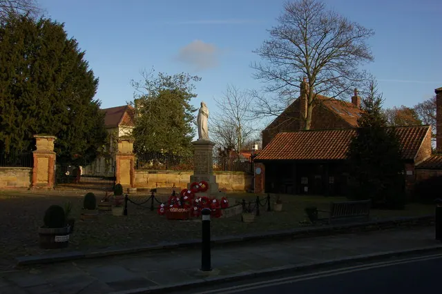
© Nick W · Geograph · CC BY-SA 2.0
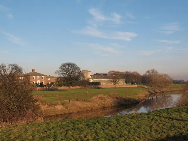
© Gordon Hatton · Geograph · CC BY-SA 2.0
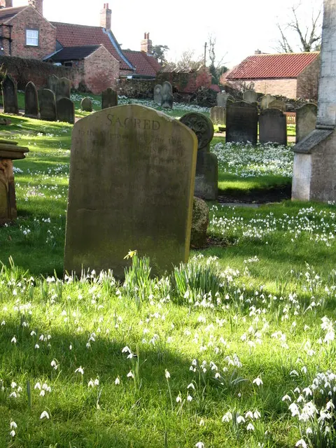
© Gordon Hatton · Geograph · CC BY-SA 2.0
Images © their respective photographers, licensed under CC BY-SA 2.0 and reused here with attribution. Photographs depict listed buildings, churches and monuments near this settlement and may show neighbouring villages.
Data derived from the Open Domesday project (opendomesday.org), based on the Domesday Book dataset compiled by Professor J.J.N. Palmer and team. The Domesday Book (1086) is in the public domain.
Found an inaccuracy? [email protected]