Midgley in the Domesday Book (1086)
Midgley is named in the Domesday Book, compiled by Norman commissioners in 1086, entered under the hundred of Morley in Yorkshire.
Other Settlements in Morley
- Allerton
- Armley
- Batley
- Beeston
- Bolton
- Bowling
- Bradford
- Bramley
- Calverley
- Carlton
- Chellow [Grange]
- Clayton
- Clifton
- Cruttonstall
The Meaning of the Name
The name Midgley is of Anglo-Saxon origin. Its final element derives from the Old English word lēah, a woodland clearing or glade, while the first element appears to represent the middle. Taken together the name probably meant something close to ’the middle clearing’.
Remarkably, the name has changed little since 1086, when the Domesday scribes wrote it as Midgley.
Listed Buildings Near Midgley
Historic England records 98 listed buildings within about a mile of Midgley. Listing protects structures of special architectural or historic interest, graded I (exceptional), II* (particularly important) and II.
Grade II
- Guide Post at Se 026264 at Junction of Height Road - 0.11 km
- 26, Town Gate - 0.12 km
- Pinfold - 0.15 km
- Bloomer Gate House - 0.18 km
- Rose Cottage - 0.24 km
- Cliff Hill and Attached Archway - 0.25 km
- Barn Approximately 4 Metres to South of Cliff Hill - 0.25 km
- 49, Town Gate - 0.26 km
- Summer House at Se 023264 25 Metres to East of Number 3 Ewood Court - 0.3 km
- Lower Ewood - 0.33 km
- Stocks to South West of Number 61 - 0.34 km
- Ewood Court - 0.34 km
- Lower Han Royd - 0.34 km
- Lacey Hey Cottage Lacey Hey Farmhouse - 0.35 km
- Ewood Court Farmhouse - 0.37 km
- Brearley Old Hall - 0.4 km
- Upper Han Royd - 0.41 km
- Barn Approximately 18 Metres to West of Great House and Great House Cottage - 0.42 km
- Ewood Cottages - 0.43 km
- Rochdale Canal Brearley Bridge - 0.43 km
- Ewood Hall Barn - 0.43 km
- Outbuilding Linking Great House and Great House Cottage With Barn to West - 0.43 km
- Lodge to Brearley House - 0.45 km
- Great House and Great House Cottage - 0.45 km
…and 74 more listed structures in the area.
Scheduled Monuments Near Midgley
Scheduled monuments are nationally important archaeological sites given legal protection. 5 lie within roughly a mile of Midgley:
- Ring cairn on Midgley Moor, 360m north east of Upper Han Royd - 0.58 km
- Cairn with an oval bank on Midgley Moor, 430m north east of Upper Han Royd - 0.65 km
- Cairn on Midgley Moor, 400m north east of Upper Han Royd - 0.73 km
- Cup marked boundary stone known as Churn Milk Joan on Crow Hill, Midgley Moor, 580m north of Foster Clough Bridge - 1.36 km
- Enclosed Bronze Age urnfield 440m north west of Rough Bottom on Midgeley Moor - 1.56 km
Midgley Today
Today Midgley lies within the administrative area of Calderdale.
Read more about modern Midgley on Wikipedia .
Nearby Domesday Settlements
Other places recorded in the 1086 survey within a few miles:
- Wadsworth - 3.6 km NW
- Warley - 3.6 km SE
- Sowerby - 3.6 km SE
- Cruttonstall - 4.0 km W
- Greetland - 7.8 km SE
- Stansfield - 8.2 km W
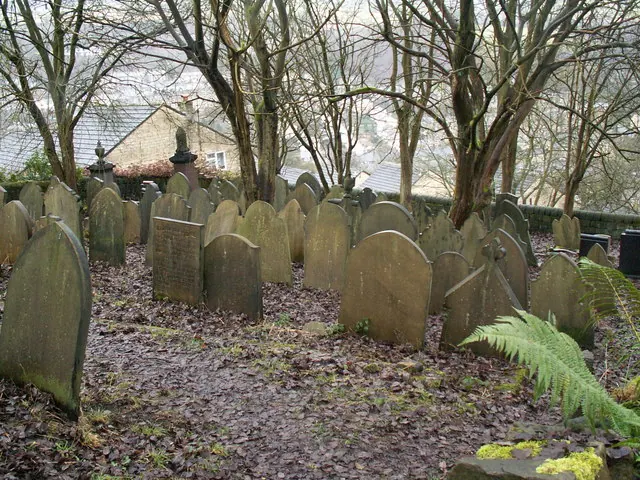
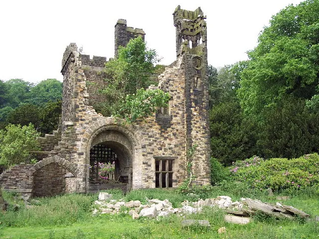
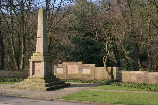
Heritage Around Midgley
Photographs of churches, listed buildings and monuments in the vicinity, contributed by volunteers to the Geograph project and reused here under a Creative Commons licence.
© Phil Champion · Geograph · CC BY-SA 2.0
© Mark Anderson · Geograph · CC BY-SA 2.0
© Mark Anderson · Geograph · CC BY-SA 2.0
Images © their respective photographers, licensed under CC BY-SA 2.0 and reused here with attribution. Photographs depict listed buildings, churches and monuments near this settlement and may show neighbouring villages.
Data derived from the Open Domesday project (opendomesday.org), based on the Domesday Book dataset compiled by Professor J.J.N. Palmer and team. The Domesday Book (1086) is in the public domain.
Found an inaccuracy? [email protected]