Middleton Tyas in the Domesday Book (1086)
The 1086 Domesday survey records the settlement of Middleton Tyas, entered under the hundred of Land of Count Alan in Yorkshire.
Other Settlements in Land of Count Alan
- Achebi
- Agglethorpe
- Ainderby [Mires]
- Ainderby [Quernhow]
- Aiskew
- Aldbrough
- Allerthorpe [Hall]
- Ascam
- Ascham
- Asebi
- Aske [Hall]
- Askrigg
- Aysgarth
- Baldersby
The Meaning of the Name
The name Middleton Tyas is of Anglo-Saxon origin. Its final element derives from the Old English word tūn, a farmstead or village, while the first element appears to represent the middle. Taken together the name probably meant something close to ’the middle farmstead’.
Remarkably, the name has changed little since 1086, when the Domesday scribes wrote it as Middleton Tyas.
Listed Buildings Near Middleton Tyas
Historic England records 31 listed buildings within about a mile of Middleton Tyas. Listing protects structures of special architectural or historic interest, graded I (exceptional), II* (particularly important) and II.
Grade II*
- East Hall - 0.55 km
Grade II
- The Hill - 0.19 km
- Forge Cottage - 0.19 km
- Galsworthy House and Attached Outbuilding - 0.2 km
- Middleton House and Cottage Adjoining to West - 0.2 km
- Longfield Farmhouse - 0.2 km
- Orchard House - 0.22 km
- Galsworthy Cottage - 0.22 km
- Village Farmhouse - 0.23 km
- Appletree Cottage, Arch Cottage, Archway Cottage, the Neuk - 0.25 km
- Inglenook House and the Cottage - 0.27 km
- Sundial Cottage and Rose Cottage - 0.28 km
- Gate Piers in Front of Door of West Hall - 0.31 km
- West Hall - 0.31 km
- Milestone Sited on the Verge Outside Foresters Hall - 0.33 km
- Foresters Hall - 0.35 km
- Hope House - 0.44 km
- Coach House Approximately 25 Metres South West of East Hall - 0.51 km
- Gazebo Approximately 50 Metres South-east of East Hall - 0.53 km
- Brewery Approximately 8 Metres North of East Hall - 0.55 km
- Garden Walls to North of East Hall - 0.58 km
- Limekilns in Black Scar Quarry - 0.58 km
- Tumbling Well - 0.6 km
- Ledger Stone Approximately 2 Metres West of Tower of Church of Saint Michael - 0.9 km
…and 7 more listed structures in the area.
Scheduled Monuments Near Middleton Tyas
Scheduled monuments are nationally important archaeological sites given legal protection. 2 lie within roughly a mile of Middleton Tyas:
- Copper mine and medieval ridge and furrow north, north west and east of St Michael and All Angels Church - 0.81 km
- Five Hills round barrow - 0.9 km
Nearby Domesday Settlements
Other places recorded in the 1086 survey within a few miles:
- Kneeton Hall - 1.4 km NW
- Moulton - 2.2 km SE
- Barton - 3.2 km N
- Skeeby - 3.6 km SW
- Gilling - 4.0 km W
- Newton Morrell - 4.1 km N
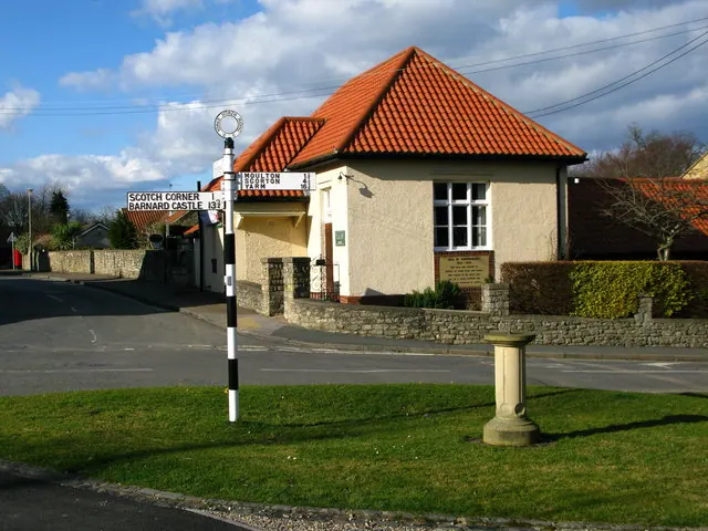
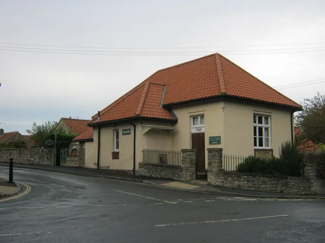
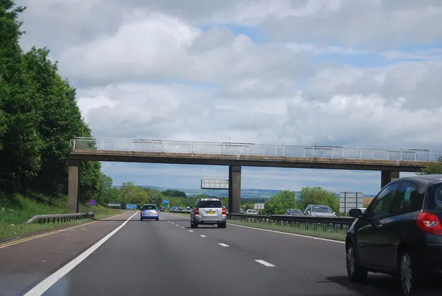
Heritage Around Middleton [Tyas]
Photographs of churches, listed buildings and monuments in the vicinity, contributed by volunteers to the Geograph project and reused here under a Creative Commons licence.
© David Rogers · Geograph · CC BY-SA 2.0
© peter robinson · Geograph · CC BY-SA 2.0
© N Chadwick · Geograph · CC BY-SA 2.0
Images © their respective photographers, licensed under CC BY-SA 2.0 and reused here with attribution. Photographs depict listed buildings, churches and monuments near this settlement and may show neighbouring villages.
Location
54.4442°N, -1.6530°W · Land of Count Alan hundred, Yorkshire
View larger map on OpenStreetMap →Data derived from the Open Domesday project (opendomesday.org), based on the Domesday Book dataset compiled by Professor J.J.N. Palmer and team. The Domesday Book (1086) is in the public domain.
Found an inaccuracy? [email protected]