Middleton in the Domesday Book (1086)
The 1086 Domesday survey records the settlement of Middleton, entered under the hundred of Skyrack in Yorkshire. The survey assessed Middleton at 3 carucates of taxable land.
At the time of the survey, Middleton supported a recorded population of 1 villager, 4 smallholders, 2 slaves, working 1 plough between them.
By 1086 Middleton was worth 3.5 shillings, up from 2 shillings before the Conquest – which sets it apart from the many nearby villages left waste or devalued.
The survey lists 2 manors at Middleton under different lords. Splitting a single settlement between multiple tenants was common across the North – Saxon estates broken up and handed to William’s followers after 1066.
Other Settlements in Skyrack
- Adel
- Allerton [Bywater]
- Alwoodley
- Arthington
- Austhorpe
- Baildon
- Bardsey
- Barwick [in Elmet]
- Bichertun
- Bicherun
- Bingley
- Birkby [Hill]
- Bramhope
- Burden [Head]
The Meaning of the Name
The name Middleton is of Anglo-Saxon origin. Its final element derives from the Old English word tūn, a farmstead or village, while the first element appears to represent the middle. Taken together the name probably meant something close to ’the middle farmstead’.
Remarkably, the name has changed little since 1086, when the Domesday scribes wrote it as Middleton.
Listed Buildings Near Middleton
Historic England records 11 listed buildings within about a mile of Middleton. Listing protects structures of special architectural or historic interest, graded I (exceptional), II* (particularly important) and II.
Grade II
- Barn to North of Grange Farm Yard - 0.35 km
- Outbuilding Abutting Grange Farmhouse to the North - 0.37 km
- Annexe to Grange Farm House - 0.37 km
- Grange Farm House - 0.38 km
- Lane End Farmhouse and Attached Barn - 0.41 km
- Red Gables - 0.42 km
- Hathenshaw Farmhouse - 1.03 km
- Northern chapel at Ilkley cemetery - 1.19 km
- Southern chapel at Ilkley cemetery - 1.21 km
- Ilkley Lido (Including Cafe and Changing Rooms) - 1.22 km
- West Moor Farmhouse - 1.27 km
Scheduled Monuments Near Middleton
Scheduled monuments are nationally important archaeological sites given legal protection. 1 lies within roughly a mile of Middleton:
Middleton Today
Today Middleton lies within the administrative area of Harrogate, and the settlement recorded a population of 102 at the 2021 census. Nine and a half centuries separate that figure from the small rural community the Domesday survey recorded here in 1086.
Read more about modern Middleton on Wikipedia .
Nearby Domesday Settlements
Other places recorded in the 1086 survey within a few miles:
Heritage Around Middleton
Photographs of churches, listed buildings and monuments in the vicinity, contributed by volunteers to the Geograph project and reused here under a Creative Commons licence.
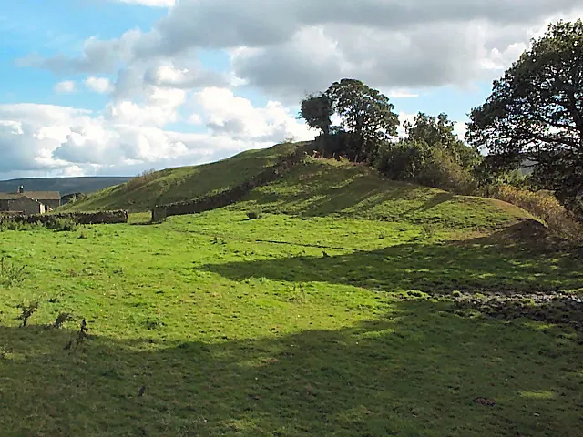
© David Spencer · Geograph · CC BY-SA 2.0
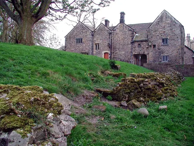
© Paul Glazzard · Geograph · CC BY-SA 2.0
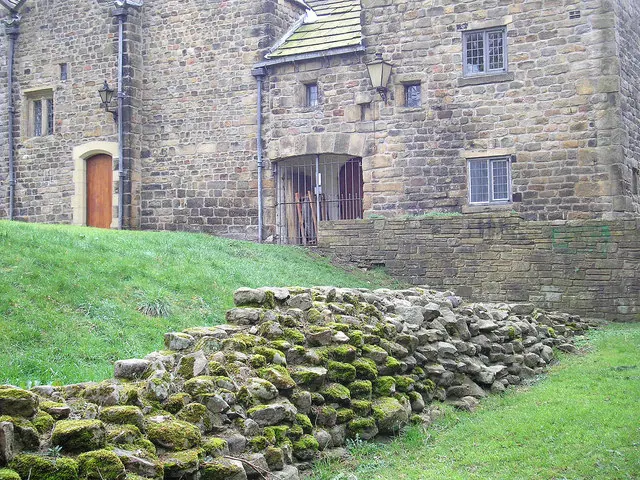
© John Illingworth · Geograph · CC BY-SA 2.0
Images © their respective photographers, licensed under CC BY-SA 2.0 and reused here with attribution. Photographs depict listed buildings, churches and monuments near this settlement and may show neighbouring villages.
Data derived from the Open Domesday project (opendomesday.org), based on the Domesday Book dataset compiled by Professor J.J.N. Palmer and team. The Domesday Book (1086) is in the public domain.
Found an inaccuracy? [email protected]