Middleton on the Wolds in the Domesday Book (1086)
Middleton on the Wolds is named in the Domesday Book, compiled by Norman commissioners in 1086, entered under the hundred of Sneculfcros in Yorkshire. The survey assessed Middleton on the Wolds at 1 carucate of taxable land.
At the time of the survey, Middleton on the Wolds supported a recorded population of 20 villagers, 5 smallholders, 6 slaves, working 5 ploughs between them.
The survey puts Middleton on the Wolds’s value at 8 shillings, the same as before the Conquest. Unchanged valuations are relatively rare in the North, where disruption was widespread.
Resources Recorded at Middleton on the Wolds (1086)
- Mills: 1 mill (valued at 10d)
- Churches: 1
- Meadow: 8 acres
- Woodland: 6 swine render
Other Settlements in Sneculfcros
- Aike
- Beswick
- Beverley
- Bracken
- Dunnington
- Etton
- Gardham
- Grimston
- Holme [on the Wolds]
- Ianulfestorp
- Kilnwick
- Leconfield
- Lockington
- Molescroft
The Meaning of the Name
The name Middleton on the Wolds is of Anglo-Saxon origin. Its final element derives from the Old English word tūn, a farmstead or village, while the first element appears to represent the middle. Taken together the name probably meant something close to ’the middle farmstead’.
Remarkably, the name has changed little since 1086, when the Domesday scribes wrote it as Middleton on the Wolds.
Listed Buildings Near Middleton on the Wolds
Historic England records 3 listed buildings within about a mile of Middleton on the Wolds. Listing protects structures of special architectural or historic interest, graded I (exceptional), II* (particularly important) and II.
Grade II*
- Church of St. Andrew - 0.11 km
Grade II
- Group of 4 Monuments About 15 Metres South-east of South-east Quoin of South Aisle of Church of St. Andrew - 0.11 km
- House About 95 Metres West of Church of Saint Andrew - 0.11 km
Scheduled Monuments Near Middleton on the Wolds
Scheduled monuments are nationally important archaeological sites given legal protection. 1 lies within roughly a mile of Middleton on the Wolds:
Middleton on the Wolds Today
Today Middleton on the Wolds lies within the administrative area of Middleton, and the settlement recorded a population of 825 at recent figures. Nine and a half centuries separate that figure from the small rural community the Domesday survey recorded here in 1086.
Read more about modern Middleton-on-the-Wolds on Wikipedia .
Nearby Domesday Settlements
Other places recorded in the 1086 survey within a few miles:
- Lund - 3.2 km E
- North Dalton - 3.2 km N
- Bainton - 3.6 km NE
- Holme on the Wolds - 3.6 km SE
- Bracken - 4.1 km E
- Neswick Hall - 4.2 km NE
Heritage Around Middleton [on the Wolds]
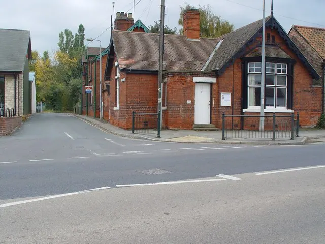
Photographs of churches, listed buildings and monuments in the vicinity, contributed by volunteers to the Geograph project and reused here under a Creative Commons licence.

© Peter Church · Geograph · CC BY-SA 2.0
© Peter Church · Geograph · CC BY-SA 2.0

© Bill Henderson · Geograph · CC BY-SA 2.0
Images © their respective photographers, licensed under CC BY-SA 2.0 and reused here with attribution. Photographs depict listed buildings, churches and monuments near this settlement and may show neighbouring villages.
Data derived from the Open Domesday project (opendomesday.org), based on the Domesday Book dataset compiled by Professor J.J.N. Palmer and team. The Domesday Book (1086) is in the public domain.
Found an inaccuracy? [email protected]