Middleton in the Domesday Book (1086)
The 1086 Domesday survey records the settlement of Middleton, entered under the hundred of Morley in Yorkshire.
Other Settlements in Morley
- Allerton
- Armley
- Batley
- Beeston
- Bolton
- Bowling
- Bradford
- Bramley
- Calverley
- Carlton
- Chellow [Grange]
- Clayton
- Clifton
- Cruttonstall
The Meaning of the Name
The name Middleton is of Anglo-Saxon origin. Its final element derives from the Old English word tūn, a farmstead or village, while the first element appears to represent the middle. Taken together the name probably meant something close to ’the middle farmstead’.
Remarkably, the name has changed little since 1086, when the Domesday scribes wrote it as Middleton.
Listed Buildings Near Middleton
Historic England records 3 listed buildings within about a mile of Middleton. Listing protects structures of special architectural or historic interest, graded I (exceptional), II* (particularly important) and II.
Grade II
- Lych Gate and Flanking Walls Church of St Mary - 0.36 km
- Church of St Mary - 0.38 km
- Top of the Town Cottages - 0.83 km
Scheduled Monuments Near Middleton
Scheduled monuments are nationally important archaeological sites given legal protection. 1 lies within roughly a mile of Middleton:
- Middleton Park shaft mounds - 0.73 km
Middleton Today
Today Middleton lies within the administrative area of Leeds, and the settlement recorded a population of 31,472 at recent figures. Nine and a half centuries separate that figure from the small rural community the Domesday survey recorded here in 1086.
Read more about modern Middleton on Wikipedia .
Nearby Domesday Settlements
Other places recorded in the 1086 survey within a few miles:
- Thorpe on the Hill - 2.2 km SE
- Beeston - 2.8 km NW
- East Ardsley - 3.0 km S
- Carlton - 3.2 km E
- Hunslet - 3.2 km N
- Lofthouse - 3.6 km SE
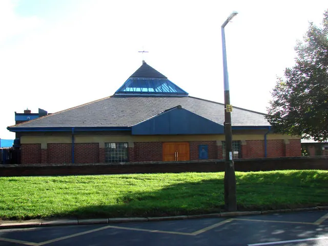
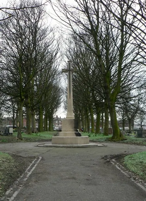
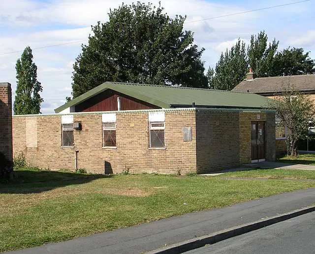
Heritage Around Middleton
Photographs of churches, listed buildings and monuments in the vicinity, contributed by volunteers to the Geograph project and reused here under a Creative Commons licence.
© Bill Henderson · Geograph · CC BY-SA 2.0
© Rich Tea · Geograph · CC BY-SA 2.0
© Betty Longbottom · Geograph · CC BY-SA 2.0
Images © their respective photographers, licensed under CC BY-SA 2.0 and reused here with attribution. Photographs depict listed buildings, churches and monuments near this settlement and may show neighbouring villages.
Data derived from the Open Domesday project (opendomesday.org), based on the Domesday Book dataset compiled by Professor J.J.N. Palmer and team. The Domesday Book (1086) is in the public domain.
Found an inaccuracy? [email protected]