Middleton in the Domesday Book (1086)
The 1086 Domesday survey records the settlement of Middleton, entered under the hundred of Hamston in Derbyshire. The survey assessed Middleton at 7.2 carucates of taxable land.
At the time of the survey, Middleton supported a recorded population of 16 villagers, 17 smallholders, 1 slave, 2 freemanmen, working 12 ploughs between them.
By 1086 Middleton was worth 11.5 shillings, up from 8.5 shillings before the Conquest – which sets it apart from the many nearby villages left waste or devalued.
The survey lists 2 manors at Middleton under different lords. Splitting a single settlement between multiple tenants was common across the North – Saxon estates broken up and handed to William’s followers after 1066.
Resources Recorded at Middleton (1086)
- Churches: 1
- Cattle: 37
- Pigs: 128
- Sheep: 192
- Horses (cobs): 3
- Meadow: 6 acres
- Woodland: 100 None
Other Settlements in Hamston
- Alsop [-en-le-Dale]
- Ashbourne
- Atlow
- Ballidon
- Bonsall
- Bradbourne
- Brassington
- Broadlowash
- Callow
- Carsington
- Cowley
- Cromford
- Elton
- Hanson [Grange]
The Meaning of the Name
The name Middleton is of Anglo-Saxon origin. Its final element derives from the Old English word tūn, a farmstead or village, while the first element appears to represent the middle. Taken together the name probably meant something close to ’the middle farmstead’.
Remarkably, the name has changed little since 1086, when the Domesday scribes wrote it as Middleton.
Listed Buildings Near Middleton
Historic England records 31 listed buildings within about a mile of Middleton. Listing protects structures of special architectural or historic interest, graded I (exceptional), II* (particularly important) and II.
Grade II
- Castle Farmhouse and Attached Barn Castle Farmhouse and Attached Barns - 0.05 km
- Chapel House - 0.16 km
- Bateman’s Tomb in the Grounds of Chapel House - 0.19 km
- Dale Farmhouse and Attached Outbuildings - 0.2 km
- Cottage to the South East of Dale Farmhouse - 0.21 km
- Water Supply Fountain - 0.23 km
- Range of Three Cottages 40 Metres North West of the Square House - 0.23 km
- Range of Four Cottages N of the Bateman Arms - 0.24 km
- Smithy to the Rear of the Square - 0.24 km
- The Square House - 0.26 km
- Terrace of Four Cottages 40 Metres West of the Square House - 0.26 km
- Terrace of Four Cottages to the West of Item 52 - 0.27 km
- K6 Telephone Kiosk - 0.28 km
- Flaxdale House - 0.28 km
- Outbuildings to the North of Kings Croft - 0.28 km
- Tor Farmhouse - 0.29 km
- Kings Croft - 0.29 km
- Green Farmhouse - 0.31 km
- Gate Piers, Gates and Flanking Walls to Entrance of Middleton Hall - 0.36 km
- Greencroft Farmhouse - 0.36 km
- Stable Block to the East of Hall Cottages - 0.39 km
- Ice House South West of Stable Block to the East of Hall Cottages - 0.4 km
- Pair of Re Used Arches in Garden 20 Metres South West of Lomberdale Hall - 0.41 km
- Stables to Middleton Hall - 0.43 km
…and 7 more listed structures in the area.
Scheduled Monuments Near Middleton
Scheduled monuments are nationally important archaeological sites given legal protection. 3 lie within roughly a mile of Middleton:
- Bowl barrow in Foggy Lees Plantation - 0.71 km
- Larks Low bowl barrow - 0.99 km
- Bee Low bowl barrow - 1.34 km
Middleton Today
Today Middleton lies within the administrative area of Middleton and Smerrill, and the settlement recorded a population of 137 at recent figures. Nine and a half centuries separate that figure from the small rural community the Domesday survey recorded here in 1086.
Read more about modern Middleton-by-Youlgrave on Wikipedia .
Nearby Domesday Settlements
Other places recorded in the 1086 survey within a few miles:
Heritage Around Middleton
Photographs of churches, listed buildings and monuments in the vicinity, contributed by volunteers to the Geograph project and reused here under a Creative Commons licence.
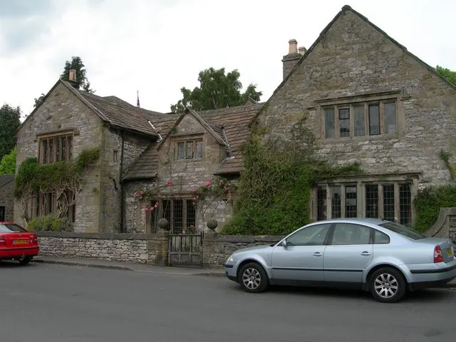
© DAVID M GOODWIN · Geograph · CC BY-SA 2.0
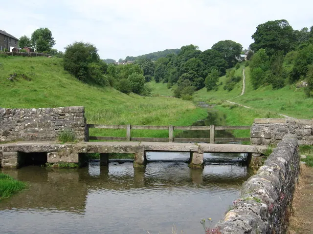
© Dave Bevis · Geograph · CC BY-SA 2.0
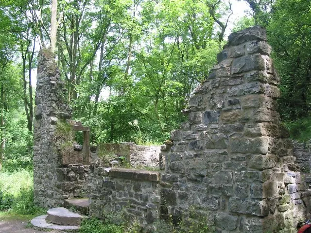
© Dennis Thorley · Geograph · CC BY-SA 2.0
Images © their respective photographers, licensed under CC BY-SA 2.0 and reused here with attribution. Photographs depict listed buildings, churches and monuments near this settlement and may show neighbouring villages.
Data derived from the Open Domesday project (opendomesday.org), based on the Domesday Book dataset compiled by Professor J.J.N. Palmer and team. The Domesday Book (1086) is in the public domain.
Found an inaccuracy? [email protected]