Middleton in the Domesday Book (1086)
The 1086 Domesday survey records the settlement of Middleton, entered under the hundred of Dic in Yorkshire.
Other Settlements in Dic
- Aislaby
- Allerston
- Appleton [le Moors]
- Aschelesmersc
- Aschilesmares
- Barton [le Street]
- Baschebi
- Baschesbi
- Brompton
- Burniston
- Burton [Dale]
- Cawthorn
- Cayton
- Chigogemers
The Meaning of the Name
The name Middleton is of Anglo-Saxon origin. Its final element derives from the Old English word tūn, a farmstead or village, while the first element appears to represent the middle. Taken together the name probably meant something close to ’the middle farmstead’.
Remarkably, the name has changed little since 1086, when the Domesday scribes wrote it as Middleton.
Listed Buildings Near Middleton
Historic England records 21 listed buildings within about a mile of Middleton. Listing protects structures of special architectural or historic interest, graded I (exceptional), II* (particularly important) and II.
Grade I
- Church of St Andrew - 0.39 km
Grade II*
- Gazebo and Garden Walls Attached to Aislaby Hall - 0.95 km
- Aislaby Hall, Front Wall and Gate Piers - 1.03 km
Grade II
- Manor House - 0.33 km
- Church Farmhouse - 0.36 km
- The Willows - 0.36 km
- Green Farmhouse - 0.36 km
- Middleton Hall - 0.37 km
- Beech View - 0.45 km
- Middleton House and Attached Garage - 0.49 km
- Lane End Cottage - 0.86 km
- The Blacksmith’s Arms Restaurant - 0.87 km
- The Low House - 0.89 km
- Farm Buildings to Farm Between Keld Head Farm (East) and the Low House - 0.9 km
- Farmhouse Between Keld Head Farm (East) and the Low House - 0.93 km
- Farm Buildings to Keld Head Farm (East) - 0.95 km
- Spring View and Associated Farm Buildings - 0.97 km
- Garden shelter approximately 90 metres southeast of Aislaby Hall - 0.98 km
- Keld Head Farmhouse (East) - 0.98 km
- 1 and 3, Keld Head - 1.07 km
- Manor Farmhouse - 1.22 km
Scheduled Monuments Near Middleton
Scheduled monuments are nationally important archaeological sites given legal protection. 3 lie within roughly a mile of Middleton:
- St Nicholas’ medieval hospital 550m East of Brick Yard Farm - 0.89 km
- Beacon Hill ringwork siege castle and Royal Observer Corps post - 1.24 km
- Pickering Castle: 11th century motte and bailey castle and 13th century shell keep castle - 1.56 km
Middleton Today
Today Middleton lies within the administrative area of Ryedale, and the settlement recorded a population of 398 at the 2021 census. Nine and a half centuries separate that figure from the small rural community the Domesday survey recorded here in 1086.
Read more about modern Middleton on Wikipedia .
Nearby Domesday Settlements
Other places recorded in the 1086 survey within a few miles:
- Aislaby - 1.0 km W
- Aschelesmersc - 1.4 km SE
- Aschilesmares - 1.4 km SE
- Maxudesmares - 1.4 km SE
- Maxudesmersc - 1.4 km SE
- Odulfesmare - 1.4 km SE
Heritage Around Middleton
Photographs of churches, listed buildings and monuments in the vicinity, contributed by volunteers to the Geograph project and reused here under a Creative Commons licence.
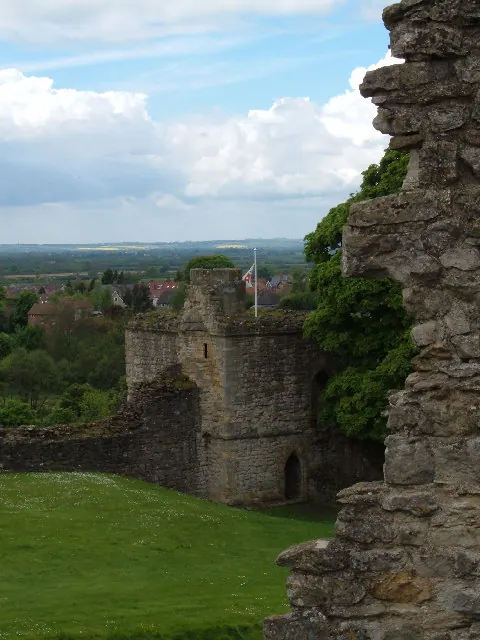
© Alison Stamp · Geograph · CC BY-SA 2.0
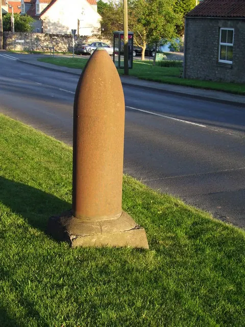
© Keith Evans · Geograph · CC BY-SA 2.0
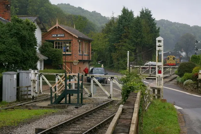
© Charles Rispin · Geograph · CC BY-SA 2.0
Images © their respective photographers, licensed under CC BY-SA 2.0 and reused here with attribution. Photographs depict listed buildings, churches and monuments near this settlement and may show neighbouring villages.
Data derived from the Open Domesday project (opendomesday.org), based on the Domesday Book dataset compiled by Professor J.J.N. Palmer and team. The Domesday Book (1086) is in the public domain.
Found an inaccuracy? [email protected]