Middleton in the Domesday Book (1086)
The 1086 Domesday survey records the settlement of Middleton, entered under the hundred of Blackwell in Derbyshire.
Other Settlements in Blackwell
- Abney
- Ashford [-in-the-Water]
- Aston
- Bakewell
- Bamford
- Baslow
- Beeley
- Birchills
- Birchover
- Blackwell
- Bradwell
- Bubnell
- Burley
- Burton
The Meaning of the Name
The name Middleton is of Anglo-Saxon origin. Its final element derives from the Old English word tūn, a farmstead or village, while the first element appears to represent the middle. Taken together the name probably meant something close to ’the middle farmstead’.
Remarkably, the name has changed little since 1086, when the Domesday scribes wrote it as Middleton.
Listed Buildings Near Middleton
Historic England records 7 listed buildings within about a mile of Middleton. Listing protects structures of special architectural or historic interest, graded I (exceptional), II* (particularly important) and II.
Grade II
- 2 and 3, New Road - 0.32 km
- Railings and Pier on North Side of Number 13 - 0.67 km
- 13, Main Street - 0.68 km
- Church of Holy Trinity - 0.77 km
- Mile Stone 25 Yards to West of Cross Roads - 1.2 km
- 10 and 11, Rise End - 1.23 km
- Slinter Wood - 1.26 km
Scheduled Monuments Near Middleton
Scheduled monuments are nationally important archaeological sites given legal protection. 4 lie within roughly a mile of Middleton:
- Black Rakes, Welshmans Venture and Bondog Hole Mines, and Merry Tom and Thumper Sitch Levels - 1.11 km
- Middleton Top winding engine house, wheels and wheel-pit - 1.29 km
- Middleton Moor platformed bowl barrow - 1.37 km
- Bonsall Leys lead mines - 1.37 km
Middleton Today
Today Middleton lies within the administrative area of Derbyshire Dales, and the settlement recorded a population of 893 at the 2021 census. Nine and a half centuries separate that figure from the small rural community the Domesday survey recorded here in 1086.
Read more about modern Middleton on Wikipedia .
Nearby Domesday Settlements
Other places recorded in the 1086 survey within a few miles:
- Cromford - 2.0 km E
- Bonsall - 2.0 km N
- Wirksworth - 2.2 km SE
- Ible - 3.2 km W
- Ivonbrook Grange - 3.6 km NW
- Carsington - 3.6 km SW
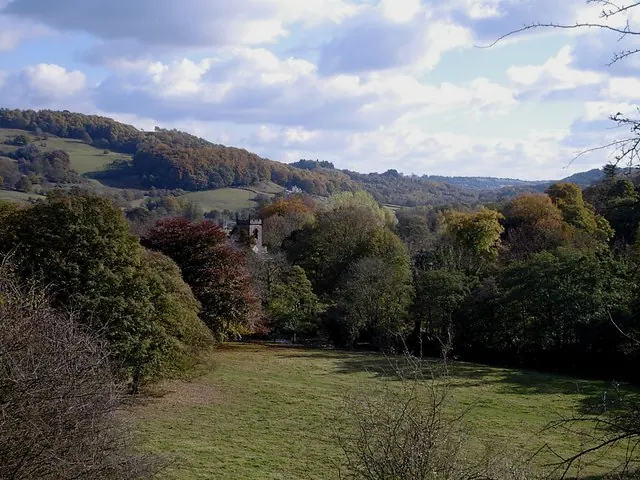
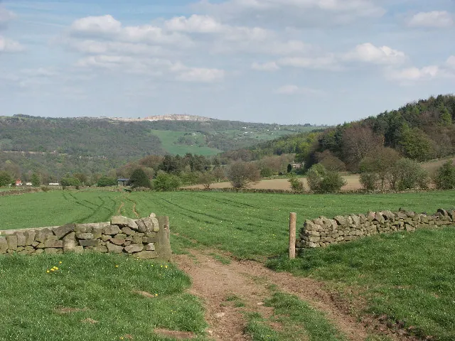
Heritage Around Middleton
Photographs of churches, listed buildings and monuments in the vicinity, contributed by volunteers to the Geograph project and reused here under a Creative Commons licence.
© Dave Bevis · Geograph · CC BY-SA 2.0

© Alan Heardman · Geograph · CC BY-SA 2.0
© Mike Fowkes · Geograph · CC BY-SA 2.0
Images © their respective photographers, licensed under CC BY-SA 2.0 and reused here with attribution. Photographs depict listed buildings, churches and monuments near this settlement and may show neighbouring villages.
Data derived from the Open Domesday project (opendomesday.org), based on the Domesday Book dataset compiled by Professor J.J.N. Palmer and team. The Domesday Book (1086) is in the public domain.
Found an inaccuracy? [email protected]