Middleham in the Domesday Book (1086)
Middleham appears in the Domesday Book of 1086, entered under the hundred of Land of Count Alan in Yorkshire.
Other Settlements in Land of Count Alan
- Achebi
- Agglethorpe
- Ainderby [Mires]
- Ainderby [Quernhow]
- Aiskew
- Aldbrough
- Allerthorpe [Hall]
- Ascam
- Ascham
- Asebi
- Aske [Hall]
- Askrigg
- Aysgarth
- Baldersby
The Meaning of the Name
The name Middleham is of Anglo-Saxon origin. Its final element derives from the Old English word hām, a homestead or village, while the first element appears to represent the middle. Taken together the name probably meant something close to ’the middle homestead’.
Remarkably, the name has changed little since 1086, when the Domesday scribes wrote it as Middleham.
Listed Buildings Near Middleham
Historic England records 60 listed buildings within about a mile of Middleham. Listing protects structures of special architectural or historic interest, graded I (exceptional), II* (particularly important) and II.
Grade I
- Middleham Castle - 0.15 km
Grade II
- Peacock’s Cottages East - 0.08 km
- Manor House Stables - 0.09 km
- Peacock’s Cottages West - 0.09 km
- Hall Gate-piers - 0.1 km
- The Manse, Manse Flat and Manse Cottage - 0.1 km
- West Shaw and Outbuilding - 0.11 km
- Manor House and Railings - 0.12 km
- Laundry House - 0.13 km
- Warwick Cottage and Moat Cottage - 0.14 km
- Swine Cross - 0.2 km
- Neville Hall - 0.21 km
- Victoria Jubilee Fountain - 0.21 km
- Desmond House - 0.22 km
- 1-3 Castle Hill - 0.22 km
- Milton House and Railings - 0.23 km
- Old School and Railings - 0.23 km
- Castle Keep Art and Craft Shop - 0.23 km
- The Priory, Railings and Carriage Entrance Gates - 0.24 km
- Coach House to Castle Hill House - 0.24 km
- Sundial House - 0.24 km
- Gates and Gate-piers to Castle Hill House - 0.25 km
- Hill House East Gate-piers and Railings - 0.25 km
- Castle House - 0.25 km
…and 36 more listed structures in the area.
Scheduled Monuments Near Middleham
Scheduled monuments are nationally important archaeological sites given legal protection. 4 lie within roughly a mile of Middleham:
- Middleham Castle: twelfth century tower, keep, castle and fourteenth century concentric castle. - 0.13 km
- The Swine Cross - 0.2 km
- William’s Hill - 0.23 km
- Middleham market cross - 0.31 km
Middleham Today
Today Middleham lies within the administrative area of Richmondshire, and the settlement recorded a population of 777 at the 2021 census. Nine and a half centuries separate that figure from the small rural community the Domesday survey recorded here in 1086.
Read more about modern Middleham on Wikipedia .
Nearby Domesday Settlements
Other places recorded in the 1086 survey within a few miles:
- Spennithorne - 1.4 km NE
- Harmby - 2.0 km N
- Coverham - 2.2 km SW
- Ascam - 2.2 km SE
- Ascham - 2.2 km SE
- East Witton - 2.2 km SE
Heritage Around Middleham
Photographs of churches, listed buildings and monuments in the vicinity, contributed by volunteers to the Geograph project and reused here under a Creative Commons licence.
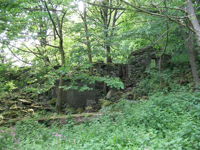
© Gordon Hatton · Geograph · CC BY-SA 2.0
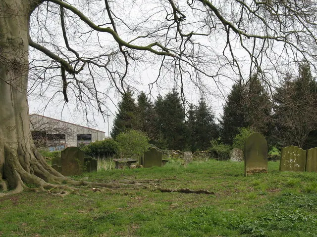
© Gordon Hatton · Geograph · CC BY-SA 2.0
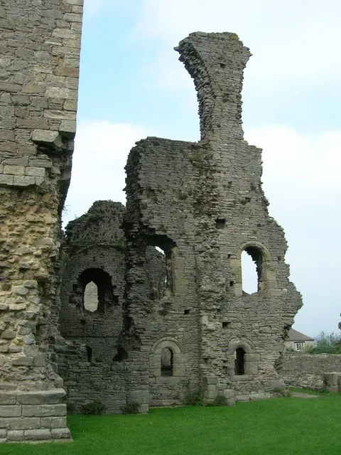
© JThomas · Geograph · CC BY-SA 2.0
Images © their respective photographers, licensed under CC BY-SA 2.0 and reused here with attribution. Photographs depict listed buildings, churches and monuments near this settlement and may show neighbouring villages.
Location
54.2828°N, -1.8080°W · Land of Count Alan hundred, Yorkshire
View larger map on OpenStreetMap →Data derived from the Open Domesday project (opendomesday.org), based on the Domesday Book dataset compiled by Professor J.J.N. Palmer and team. The Domesday Book (1086) is in the public domain.
Found an inaccuracy? [email protected]