Middle Aston in the Domesday Book (1086)
Middle Aston is named in the Domesday Book, compiled by Norman commissioners in 1086, entered under the hundred of Tunendune in Cheshire. The survey assessed Middle Aston at 15 carucates of taxable land.
At the time of the survey, Middle Aston supported a recorded population of 35 villagers, 7 smallholders, 8 slaves, working 13 ploughs between them.
The survey puts Middle Aston’s value at 15 shillings, the same as before the Conquest. Unchanged valuations are relatively rare in the North, where disruption was widespread.
Resources Recorded at Middle Aston (1086)
- Mills: 1 mill (valued at 4d)
- Meadow: 13 ploughs
Other Settlements in Tunendune
- Alretunstall
- Antrobus
- Baguley
- Bowdon
- Chapmonswiche
- Cogshall
- Dutton
- Hale
- Halton
- Knutsford
- Mere
- Millington
- Rostherne
- Sinderland
The Meaning of the Name
The name Middle Aston is of Anglo-Saxon origin. Its final element derives from the Old English word tūn, a farmstead or village. The first element is most likely a personal name or an early descriptive term, now difficult to recover with certainty. Taken together the name probably meant something close to ‘a farmstead’.
Remarkably, the name has changed little since 1086, when the Domesday scribes wrote it as Middle Aston.
Listed Buildings Near Middle Aston
Historic England records 29 listed buildings within about a mile of Middle Aston. Listing protects structures of special architectural or historic interest, graded I (exceptional), II* (particularly important) and II.
Grade II
- Well Approximately 250 Metres South of Aston Lodge - 0.6 km
- Dovecote at Site of Aston Old Hall - 0.64 km
- Coach House at Site of Aston Old Hall - 0.65 km
- Circular Horse Trough in Yard Between Gamekeeper’s Cottage and Dovecote at Site of Aston Old Hall - 0.65 km
- Wing of Former Aston Old Hall Now Gamekeeper’s Cottage and Store - 0.66 km
- Sundial in Garden South of Aston Lodge - 0.78 km
- Catten Hall Farmhouse and Attached Shippon - 0.82 km
- Aston Lodge - 0.82 km
- Aston Cross (Base and Shaft) - 0.87 km
- Gates Plinths and Railings at Top Lodge to Former Aston Hall - 0.87 km
- Top Lodge to Former Aston Hall (Known As the Monkey Lodge) - 0.87 km
- The Cottage - 0.89 km
- Wall Around Aston Gardens - 0.94 km
- Churchyard Wall South of St Peter’s Church - 0.96 km
- Table Tomb of Mary Fletcher in St Peters Churchyard 12 Metres South of South West Corner of Church - 0.98 km
- Table Tomb of James Okell and Others, St Peters Churchyard, 8 Metres South of West Bay of Nave - 0.98 km
- Table Tomb of Elizabeth and Samuel Okell and Others in St Peter’s Churchyard 11 Metres South of West Bay of Nave - 0.98 km
- Table Tomb of John Burke in St Peter’s Churchyard 8 Metres South of East Bay of Nave - 0.98 km
- Table Tomb of Mary and Robert Okell and Others in St Peter’s Churchyard and 9 Metres South of West Bay of Nave - 0.98 km
- Table Tomb of Roll Okell and Others in St Peter’s Churchyard 12 Metres South of South West Corner of Church - 0.98 km
- Table Tomb of Mary and William Okell 6 Metres South of West Bay of Nave of St Peters Church - 0.99 km
- Table Tomb of John Okell and Others St Peters Churchyard, 4 Metres South of West Bay of Nave - 0.99 km
- Tomb Slab of John Egerton in St Peter’s Churchyard 5 Metres South of South East Corner of Nave - 0.99 km
- Tomb Slab of Edward and Mary Woodhouse 5 Metres South of Central Bay of Chancel - 0.99 km
…and 5 more listed structures in the area.
Scheduled Monuments Near Middle Aston
Scheduled monuments are nationally important archaeological sites given legal protection. 2 lie within roughly a mile of Middle Aston:
- Middleton moated monastic grange, eight fishponds and connecting channels - 0.39 km
- Dovecote at the site of Aston Old Hall, 40m east of Gamekeepers Cottage - 0.64 km
Middle Aston Today
Today Middle Aston lies within the administrative area of Cheshire West and Chester, and the settlement recorded a population of 99 at the 2021 census. Nine and a half centuries separate that figure from the small rural community the Domesday survey recorded here in 1086.
Read more about modern Aston on Wikipedia .
Nearby Domesday Settlements
Other places recorded in the 1086 survey within a few miles:
- Aston by Sutton - 1.0 km N
- Dutton - 2.8 km NE
- Aldredelie - 3.2 km S
- Kingsley - 3.2 km S
- Frodsham - 4.0 km W
- Norton - 4.0 km N
Heritage Around Middle Aston
Photographs of churches, listed buildings and monuments in the vicinity, contributed by volunteers to the Geograph project and reused here under a Creative Commons licence.
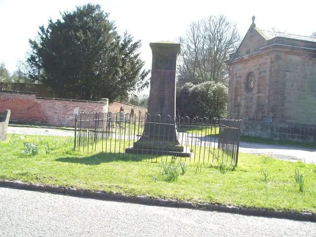
© Ian Warburton · Geograph · CC BY-SA 2.0
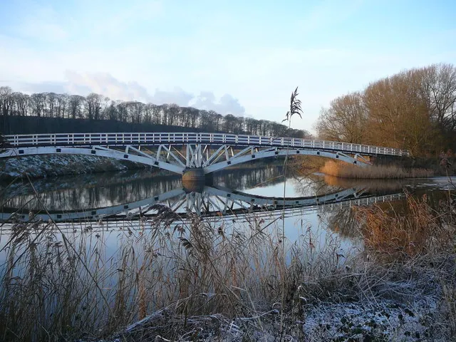
© Colin Park · Geograph · CC BY-SA 2.0
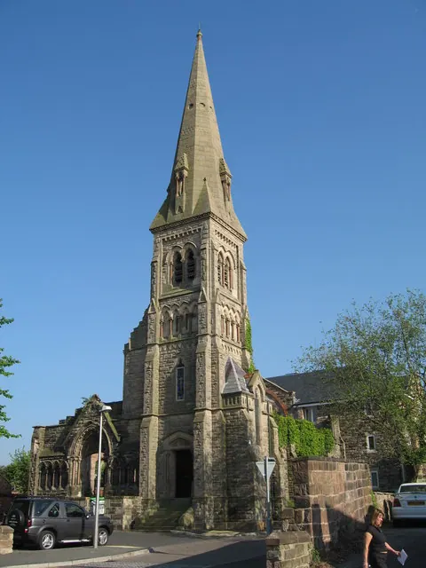
© Sue Adair · Geograph · CC BY-SA 2.0
Images © their respective photographers, licensed under CC BY-SA 2.0 and reused here with attribution. Photographs depict listed buildings, churches and monuments near this settlement and may show neighbouring villages.
Data derived from the Open Domesday project (opendomesday.org), based on the Domesday Book dataset compiled by Professor J.J.N. Palmer and team. The Domesday Book (1086) is in the public domain.
Found an inaccuracy? [email protected]