Mickleton in the Domesday Book (1086)
Mickleton is named in the Domesday Book, compiled by Norman commissioners in 1086, entered under the hundred of Land of Count Alan in Yorkshire.
Other Settlements in Land of Count Alan
- Achebi
- Agglethorpe
- Ainderby [Mires]
- Ainderby [Quernhow]
- Aiskew
- Aldbrough
- Allerthorpe [Hall]
- Ascam
- Ascham
- Asebi
- Aske [Hall]
- Askrigg
- Aysgarth
- Baldersby
The Meaning of the Name
The name Mickleton is of Anglo-Saxon origin. Its final element derives from the Old English word tūn, a farmstead or village. The first element is most likely a personal name or an early descriptive term, now difficult to recover with certainty. Taken together the name probably meant something close to ‘a farmstead’.
Remarkably, the name has changed little since 1086, when the Domesday scribes wrote it as Mickleton.
Listed Buildings Near Mickleton
Historic England records 20 listed buildings within about a mile of Mickleton. Listing protects structures of special architectural or historic interest, graded I (exceptional), II* (particularly important) and II.
Grade II
- Numbers 2 and 3 and Range of Sheds to Left Syke House - 0.28 km
- Rosedene - 0.28 km
- Barn, 5 Metres West of Rosedene - 0.29 km
- The Old School - 0.31 km
- Nook Farmhouse, Extension and Wall to Left - 0.52 km
- Farmbuildings 15 Metres North of Nook Farmhouse - 0.54 km
- Middle Green Barn and Attached Farmbuildings - 0.65 km
- Pump House, 18 Metres West of High Green Farmhouse - 0.82 km
- Former Stable, 20 Metres West of High Green Farmhouse - 0.82 km
- High Green Farmhouse and Outbuilding Extension - 0.85 km
- Low Green, 55 Metres North of High Green Farmhouse - 0.88 km
- Lune Bridge - 0.89 km
- Field Barn and Attached Byre, 50 Metres South East of High Green Farmhouse - 0.9 km
- Lune Railway Viaduct - 0.91 km
- Garden Wall and Gate Piers in Front of Westfield House - 0.95 km
- Westfield House - 0.96 km
- The Old Vicarage - 1.13 km
- Field Barn, 130 Metres West of the Ashes - 1.19 km
- Byre House, 10 Metres East of East End of Laithkirk Church - 1.23 km
- Laithkirk Church - 1.25 km
Mickleton Today
Today Mickleton lies within the administrative area of County Durham, and the settlement recorded a population of 388 at the 2021 census. Nine and a half centuries separate that figure from the small rural community the Domesday survey recorded here in 1086.
Read more about modern Mickleton on Wikipedia .
Nearby Domesday Settlements
Other places recorded in the 1086 survey within a few miles:
- Lonton - 1.4 km NW
- Hunderthwaite - 2.8 km SE
- Romaldkirk - 3.2 km E
- Cotherstone - 6.4 km SE
- Lartington - 8.5 km SE
- Startforth - 11.3 km SE
Heritage Around Mickleton
Photographs of churches, listed buildings and monuments in the vicinity, contributed by volunteers to the Geograph project and reused here under a Creative Commons licence.
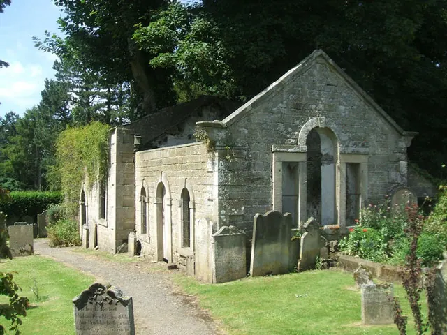
© Bill Henderson · Geograph · CC BY-SA 2.0
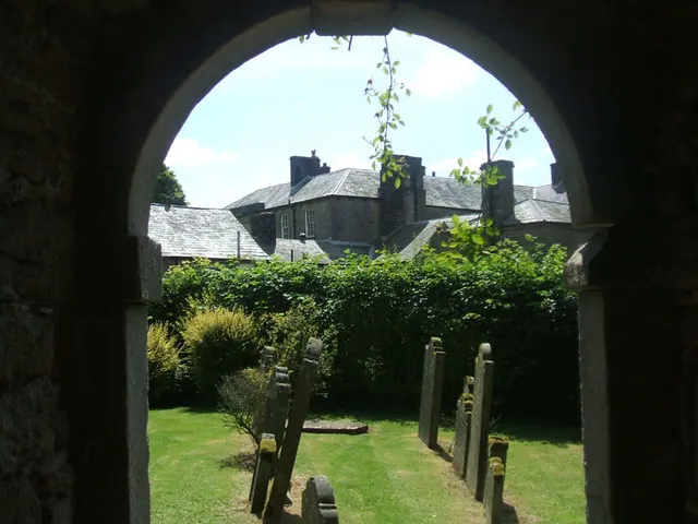
© Bill Henderson · Geograph · CC BY-SA 2.0
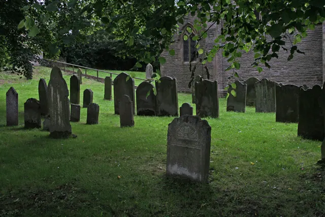
© Helen Wilkinson · Geograph · CC BY-SA 2.0
Images © their respective photographers, licensed under CC BY-SA 2.0 and reused here with attribution. Photographs depict listed buildings, churches and monuments near this settlement and may show neighbouring villages.
Location
54.6065°N, -2.0542°W · Land of Count Alan hundred, Yorkshire
View larger map on OpenStreetMap →Data derived from the Open Domesday project (opendomesday.org), based on the Domesday Book dataset compiled by Professor J.J.N. Palmer and team. The Domesday Book (1086) is in the public domain.
Found an inaccuracy? [email protected]