Micklethwaite in the Domesday Book (1086)
The settlement of Micklethwaite is recorded in William I’s Domesday survey of 1086, entered under the hundred of Skyrack in Yorkshire.
Other Settlements in Skyrack
- Adel
- Allerton [Bywater]
- Alwoodley
- Arthington
- Austhorpe
- Baildon
- Bardsey
- Barwick [in Elmet]
- Bichertun
- Bicherun
- Bingley
- Birkby [Hill]
- Bramhope
- Burden [Head]
The Meaning of the Name
The name Micklethwaite is of Scandinavian origin. Its final element derives from the Old Norse word þveit, a clearing or meadow. The first element is most likely a personal name or an early descriptive term, now difficult to recover with certainty. Taken together the name probably meant something close to ‘a clearing’.
Names of this type are a fingerprint of Scandinavian settlement: they cluster across the old Danelaw, where Norse-speaking settlers renamed or founded villages from the late 9th century onward.
Remarkably, the name has changed little since 1086, when the Domesday scribes wrote it as Micklethwaite.
Listed Buildings Near Micklethwaite
Historic England records 31 listed buildings within about a mile of Micklethwaite. Listing protects structures of special architectural or historic interest, graded I (exceptional), II* (particularly important) and II.
Grade II*
- Ryshworth Hall - 0.85 km
Grade II
- Cottage Attached to South East End of Fairlady Farmhouse - 0.12 km
- Barn Attached to Croft House Farmhouse - 0.23 km
- K6 Telephone Kiosk in Front of Number 8 High Fold - 0.23 km
- Micklethwaite Grange - 0.23 km
- Malthouse Adjacent to Number 21 Micklethwaite - 0.25 km
- Manor House, 4 and 6 Victoria Street - 0.27 km
- Manor House, 8 and 10 Victoria Street - 0.28 km
- 12-20 Victoria Street - 0.31 km
- Hill Top Farmhouse and Attached Archway - 0.32 km
- Green Hill Gate - 0.61 km
- Leeds and Liverpool Canal, Aqueduct Over Morton Beck at Se1003 4120 (That Part Which Lies in Keighley) - 0.63 km
- Laythorpe Farmhouse and Attached Barn - 0.69 km
- Green Hill Manor - 0.74 km
- Greenhill Grange and Cottage - 0.78 km
- 9, Little Lane - 0.82 km
- Green Hill Hall and Green Hill Hall Cottage - 0.83 km
- 5, Croft Road - 0.85 km
- Croft House - 0.86 km
- Outbuilding and Garage Adjoining Croft House to South West - 0.86 km
- Laurel Bank - 0.86 km
- 2, 3 and 4, Croft Road - 0.87 km
- 3-6, the Square - 0.9 km
- East Morton Congregational Church Including Sunday School Adjoining to Rear - 0.91 km
…and 7 more listed structures in the area.
Scheduled Monuments Near Micklethwaite
Scheduled monuments are nationally important archaeological sites given legal protection. 6 lie within roughly a mile of Micklethwaite:
- Cup and groove-marked rock north of Drake Hill - 1.19 km
- Rock with single cup near track north of Drake Hill - 1.2 km
- Carved rock east of track north of Drake Hill - 1.3 km
- Cup, ring and groove marked rock at the base of a wall between East Morton and West Morton - 1.44 km
- Cup marked rock adjacent to wall near road from East Morton to West Morton - 1.53 km
- Cup and groove marked rock between East Morton and West Morton - 1.54 km
Micklethwaite Today
Today Micklethwaite lies within the administrative area of Bingley.
Read more about modern Micklethwaite on Wikipedia .
Nearby Domesday Settlements
Other places recorded in the 1086 survey within a few miles:
- Marley - 1.4 km SW
- East and West Morton - 1.4 km NW
- Bingley - 2.0 km S
- Eldwick - 2.2 km SE
- Riddlesden - 3.2 km W
- Halton - 3.2 km S
Heritage Around Micklethwaite
Photographs of churches, listed buildings and monuments in the vicinity, contributed by volunteers to the Geograph project and reused here under a Creative Commons licence.
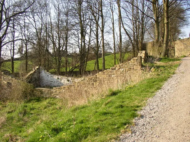
© Humphrey Bolton · Geograph · CC BY-SA 2.0
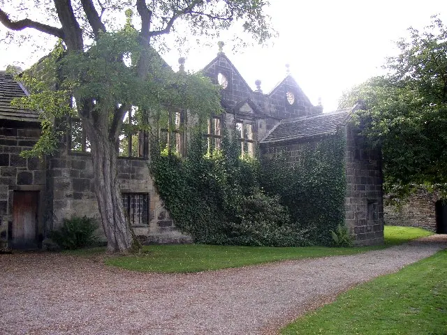
© Humphrey Bolton · Geograph · CC BY-SA 2.0
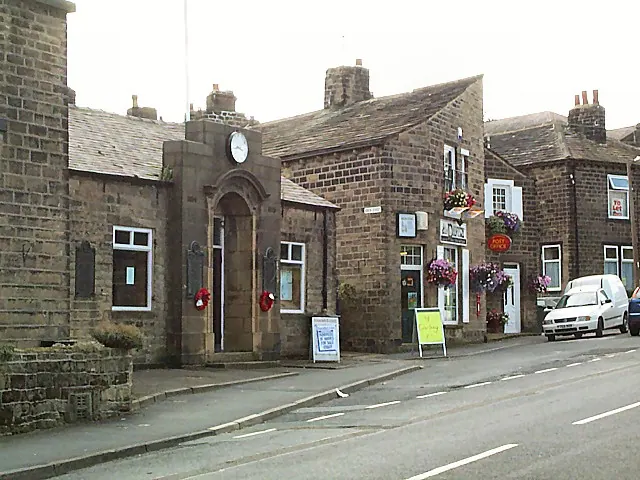
© David Spencer · Geograph · CC BY-SA 2.0
Images © their respective photographers, licensed under CC BY-SA 2.0 and reused here with attribution. Photographs depict listed buildings, churches and monuments near this settlement and may show neighbouring villages.
Data derived from the Open Domesday project (opendomesday.org), based on the Domesday Book dataset compiled by Professor J.J.N. Palmer and team. The Domesday Book (1086) is in the public domain.
Found an inaccuracy? [email protected]