Mickle Trafford in the Domesday Book (1086)
The 1086 Domesday survey records the settlement of Mickle Trafford, entered under the hundred of Willaston in Cheshire. The survey assessed Mickle Trafford at 2.5 carucates of taxable land.
At the time of the survey, Mickle Trafford supported a recorded population of 7 villagers, 1 smallholder, 1 slave, 5 freemanmen, working 4 ploughs between them.
The survey puts Mickle Trafford’s value at 13d, the same as before the Conquest. Unchanged valuations are relatively rare in the North, where disruption was widespread.
The survey lists 2 manors at Mickle Trafford under different lords. Splitting a single settlement between multiple tenants was common across the North – Saxon estates broken up and handed to William’s followers after 1066.
Resources Recorded at Mickle Trafford (1086)
- Churches: 1
- Meadow: 16 acres
- Woodland: 2 * 1 furlongs
Other Settlements in Willaston
The Meaning of the Name
The name Mickle Trafford is of Anglo-Saxon origin. Its final element derives from the Old English word ford, a river crossing. The first element is most likely a personal name or an early descriptive term, now difficult to recover with certainty. Taken together the name probably meant something close to ‘a ford’.
Remarkably, the name has changed little since 1086, when the Domesday scribes wrote it as Mickle Trafford.
Listed Buildings Near Mickle Trafford
Historic England records 11 listed buildings within about a mile of Mickle Trafford. Listing protects structures of special architectural or historic interest, graded I (exceptional), II* (particularly important) and II.
Grade I
- Church of St Peter - 1.28 km
Grade II*
- Vault, Tombchest and Memorial of the Hurleston Family Attached to East End of Church of St Peter - 1.29 km
Grade II
- L Shaped Farm Building 30 Metres East of Ivy Bank Farmhouse - 0.19 km
- Mickle Trafford Manor - 0.21 km
- Ivy Bank Farmhouse - 0.21 km
- Windsor Lodge - 0.24 km
- Stone 80 Metres East of Bankfield Farmhouse - 1.01 km
- Hill Farmhouse - 1.26 km
- West Wall and Gate of Church Yard of St Peter - 1.26 km
- Pedestal Cenotaph to Thomas Cawley and Others by Chancel Door of Church of St Peter - 1.28 km
- Sundial in the Church Yard of St Peter - 1.29 km
Scheduled Monuments Near Mickle Trafford
Scheduled monuments are nationally important archaeological sites given legal protection. 1 lies within roughly a mile of Mickle Trafford:
Mickle Trafford Today
Today Mickle Trafford lies within the administrative area of Mickle Trafford and District, and the settlement recorded a population of 1,822 at the 2011 census. Nine and a half centuries separate that figure from the small rural community the Domesday survey recorded here in 1086.
Read more about modern Mickle Trafford on Wikipedia .
Nearby Domesday Settlements
Other places recorded in the 1086 survey within a few miles:
- Guilden Sutton - 1.0 km S
- Great and Little Barrow - 2.0 km E
- Picton - 2.2 km NW
- Bridge Trafford - 2.2 km NE
- Wimbolds Trafford - 3.0 km N
- Newton by Chester - 3.2 km W
Heritage Around [Mickle] Trafford
Photographs of churches, listed buildings and monuments in the vicinity, contributed by volunteers to the Geograph project and reused here under a Creative Commons licence.
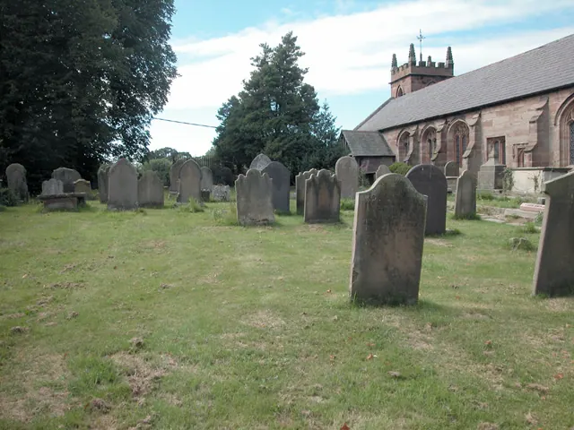
© Dennis Turner · Geograph · CC BY-SA 2.0
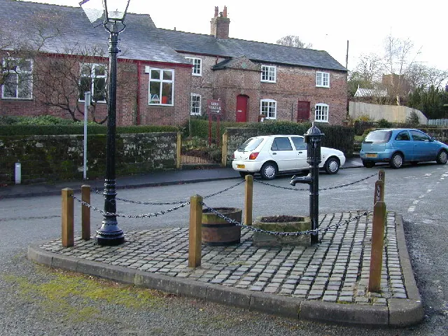
© Stephen Charles · Geograph · CC BY-SA 2.0
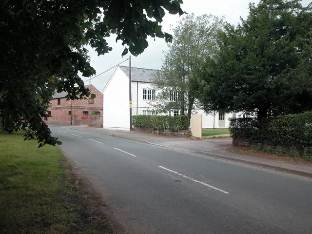
© Dennis Turner · Geograph · CC BY-SA 2.0
Images © their respective photographers, licensed under CC BY-SA 2.0 and reused here with attribution. Photographs depict listed buildings, churches and monuments near this settlement and may show neighbouring villages.
Data derived from the Open Domesday project (opendomesday.org), based on the Domesday Book dataset compiled by Professor J.J.N. Palmer and team. The Domesday Book (1086) is in the public domain.
Found an inaccuracy? [email protected]