Methley in the Domesday Book (1086)
The settlement of Methley is recorded in William I’s Domesday survey of 1086, entered under the hundred of Agbrigg in Yorkshire.
Other Settlements in Agbrigg
- Ackton
- Almondbury
- Austonley
- Bradley
- Cartworth
- Crigglestone
- Crofton
- Dalton
- Emley
- Farnley [Tyas]
- Flockton
- Fulstone
- Golcar
- Hepworth
The Meaning of the Name
The name Methley is of Anglo-Saxon origin. Its final element derives from the Old English word lēah, a woodland clearing or glade. The first element is most likely a personal name or an early descriptive term, now difficult to recover with certainty. Taken together the name probably meant something close to ‘a clearing’.
Remarkably, the name has changed little since 1086, when the Domesday scribes wrote it as Methley.
Listed Buildings Near Methley
Historic England records 9 listed buildings within about a mile of Methley. Listing protects structures of special architectural or historic interest, graded I (exceptional), II* (particularly important) and II.
Grade I
- Church of St Oswald - 0.98 km
Grade II
- The Old Rectory With Stone Boundary Wall to Garden - 0.43 km
- Shann Cottage Bridleway Number 48 Shann House Bridleway Number 48 - 0.77 km
- Harrison’s Bridge - 0.84 km
- Two Chest Tombs and Three Gravestones Arranged in Irregular Line Southwards From Approximately 2 Metres South of South Aisle of Church of St Oswald - 0.99 km
- Tomb Chest and Gravestone Approximately 5 Metres South of South East Corner of South Chapel of Church of St Oswald - 0.99 km
- Church Side Farmhouse - 1.0 km
- Club House - 1.02 km
- Old Pinder Green School - 1.28 km
Methley Today
Today Methley lies within the administrative area of Leeds.
Read more about modern Methley on Wikipedia .
Nearby Domesday Settlements
Other places recorded in the 1086 survey within a few miles:
- Allerton Bywater - 2.0 km E
- Great and Little Preston - 3.2 km N
- Swillington - 3.2 km N
- Kippax - 3.6 km NE
- Ledston - 4.1 km E
- Whitwood - 4.1 km S
Heritage Around Methley
Photographs of churches, listed buildings and monuments in the vicinity, contributed by volunteers to the Geograph project and reused here under a Creative Commons licence.
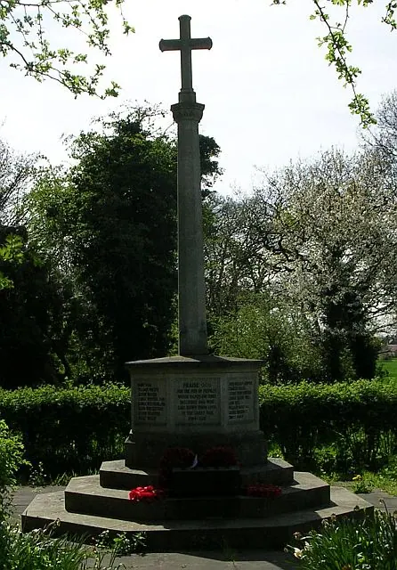
© Betty Longbottom · Geograph · CC BY-SA 2.0
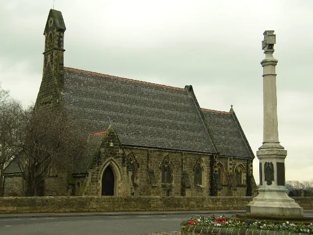
© Paul Johnston-Knight · Geograph · CC BY-SA 2.0
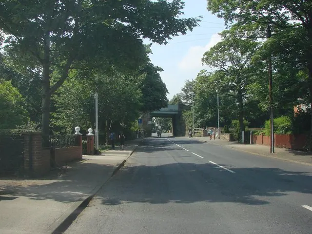
© Bill Henderson · Geograph · CC BY-SA 2.0
Images © their respective photographers, licensed under CC BY-SA 2.0 and reused here with attribution. Photographs depict listed buildings, churches and monuments near this settlement and may show neighbouring villages.
Data derived from the Open Domesday project (opendomesday.org), based on the Domesday Book dataset compiled by Professor J.J.N. Palmer and team. The Domesday Book (1086) is in the public domain.
Found an inaccuracy? [email protected]