Menston in the Domesday Book (1086)
Menston is named in the Domesday Book, compiled by Norman commissioners in 1086, entered under the hundred of Skyrack in Yorkshire. The survey assessed Menston at 0.2 carucates of taxable land.
At the time of the survey, Menston supported a recorded population of 1 villager, 1 slave.
The survey records Menston’s value at 10d in 1086. No pre-Conquest figure survives – not unusual in the North, where records were disrupted by the Harrying and by the patchy coverage of the survey.
Resources Recorded at Menston (1086)
- Meadow: 12 acres
- Woodland: 12 acres
Other Settlements in Skyrack
- Adel
- Allerton [Bywater]
- Alwoodley
- Arthington
- Austhorpe
- Baildon
- Bardsey
- Barwick [in Elmet]
- Bichertun
- Bicherun
- Bingley
- Birkby [Hill]
- Bramhope
- Burden [Head]
The Meaning of the Name
The name Menston is of Anglo-Saxon origin. Its final element derives from the Old English word tūn, a farmstead or village. The first element is most likely a personal name or an early descriptive term, now difficult to recover with certainty. Taken together the name probably meant something close to ‘a farmstead’.
Remarkably, the name has changed little since 1086, when the Domesday scribes wrote it as Menston.
Listed Buildings Near Menston
Historic England records 16 listed buildings within about a mile of Menston. Listing protects structures of special architectural or historic interest, graded I (exceptional), II* (particularly important) and II.
Grade II*
- Menston Old Hall (Fairfax Hall) - 0.56 km
Grade II
- 40, Main Street - 0.46 km
- 38, Main Street - 0.47 km
- 34, Main Street - 0.48 km
- 36, Main Street - 0.48 km
- Outbuildings abutting the Malt Shovel Public House, to the east - 0.48 km
- The Malt Shovel Public House - 0.48 km
- 30, Main Street - 0.49 km
- Barn to the North of Menston Old Hall - 0.6 km
- Grange Farm House the Grange - 0.61 km
- Hagwood Farm House - 0.63 km
- Small Barn to North East of Hagwood Farm House - 0.67 km
- Smallish Barn to North of Hagwood Farm House - 0.68 km
- High Royds Hall - 0.74 km
- Well House - 0.97 km
- High Royds Hospital - 1.09 km
Scheduled Monuments Near Menston
Scheduled monuments are nationally important archaeological sites given legal protection. 3 lie within roughly a mile of Menston:
- Cup marked rock in boulder walling between Southpiece Cottage and Bleach Mill - 1.02 km
- Cup and groove marked rock in boulder walling between Southpiece Cottage and Bleach Mill - 1.03 km
- Cup-marked rock in stone quarry on Stocks Hill - 1.32 km
Menston Today
Today Menston lies within the administrative area of Bradford, and the settlement recorded a population of 4,798 at the 2021 census. Nine and a half centuries separate that figure from the small rural community the Domesday survey recorded here in 1086.
Read more about modern Menston on Wikipedia .
Nearby Domesday Settlements
Other places recorded in the 1086 survey within a few miles:
- Little Hawksworth - 1.4 km SE
- Hawksworth - 2.0 km S
- Burley in Wharfedale - 3.0 km N
- Guiseley - 3.2 km E
- Weston - 4.1 km N
- Baildon - 4.1 km S
Heritage Around Menston
Photographs of churches, listed buildings and monuments in the vicinity, contributed by volunteers to the Geograph project and reused here under a Creative Commons licence.
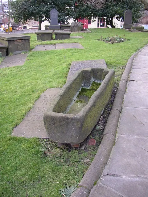
© Humphrey Bolton · Geograph · CC BY-SA 2.0
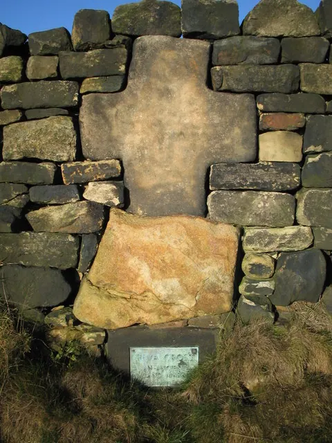
© ian saunders · Geograph · CC BY-SA 2.0
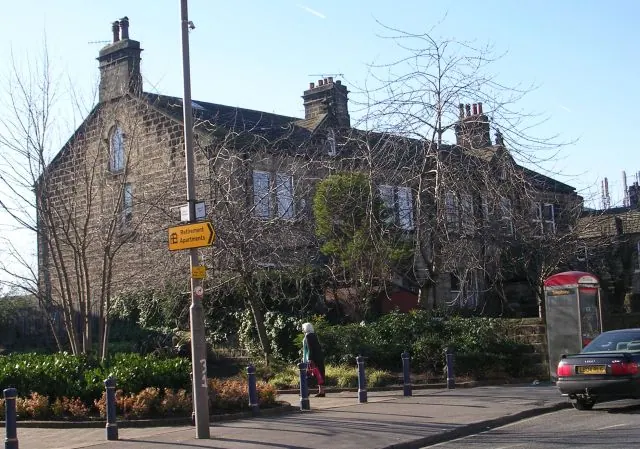
© Betty Longbottom · Geograph · CC BY-SA 2.0
Images © their respective photographers, licensed under CC BY-SA 2.0 and reused here with attribution. Photographs depict listed buildings, churches and monuments near this settlement and may show neighbouring villages.
Data derived from the Open Domesday project (opendomesday.org), based on the Domesday Book dataset compiled by Professor J.J.N. Palmer and team. The Domesday Book (1086) is in the public domain.
Found an inaccuracy? [email protected]