Meltonby in the Domesday Book (1086)
Meltonby is named in the Domesday Book, compiled by Norman commissioners in 1086, entered under the hundred of Warter in Yorkshire. The survey assessed Meltonby at 1 carucate of taxable land.
At the time of the survey, Meltonby supported a recorded population of 1 villager, 3 slaves, working 2 ploughs between them.
By 1086 Meltonby was worth 12d, up from 5d before the Conquest – in contrast to many Yorkshire neighbours whose valuations collapsed.
Other Settlements in Warter
- Grimthorpe [Manor]
- Hawold
- Heslington
- Huggate
- Kilnwick [Percy]
- Langwith [Lodge]
- Millington
- Naburn
- Warter
- Wetwang
- Yapham
- [Great] Givendale
- [Little] Givendale
- [North] Dalton
The Meaning of the Name
The name Meltonby is of Scandinavian origin. Its final element derives from the Old Norse word bý, a farmstead or village. The first element is most likely a personal name or an early descriptive term, now difficult to recover with certainty. Taken together the name probably meant something close to ‘a farmstead’.
Names of this type are a fingerprint of Scandinavian settlement: they cluster across the old Danelaw, where Norse-speaking settlers renamed or founded villages from the late 9th century onward.
Remarkably, the name has changed little since 1086, when the Domesday scribes wrote it as Meltonby.
Listed Buildings Near Meltonby
Historic England records 1 listed building within about a mile of Meltonby. Listing protects structures of special architectural or historic interest, graded I (exceptional), II* (particularly important) and II.
Grade II*
- Church of Saint Martin - 0.88 km
Meltonby Today
Today Meltonby lies within the administrative area of Yapham.
Read more about modern Meltonby on Wikipedia .
Nearby Domesday Settlements
Other places recorded in the 1086 survey within a few miles:
- Yapham - 1.0 km W
- Grimthorpe Manor - 2.0 km E
- Bolton - 2.0 km W
- Great Givendale - 2.2 km NE
- Ousethorpe Farm - 2.2 km SE
- Belthorpe - 2.2 km NW
Heritage Around Meltonby
Photographs of churches, listed buildings and monuments in the vicinity, contributed by volunteers to the Geograph project and reused here under a Creative Commons licence.
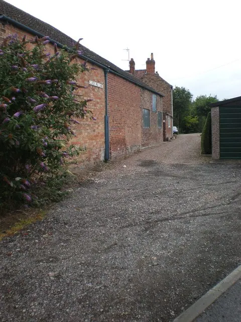
© Dr Patty McAlpin · Geograph · CC BY-SA 2.0
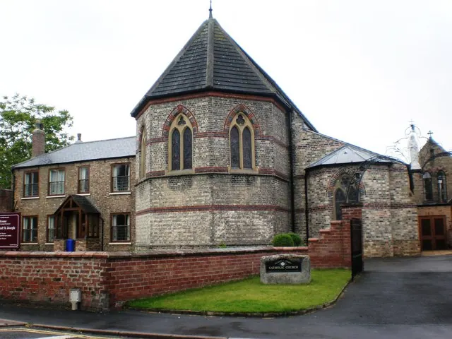
© Dr Patty McAlpin · Geograph · CC BY-SA 2.0
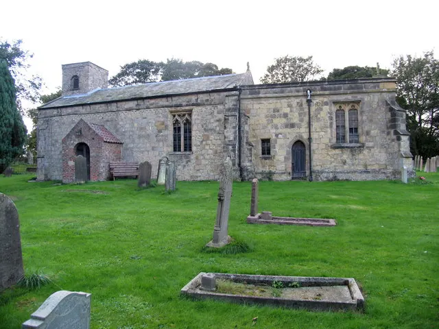
© David Rogers · Geograph · CC BY-SA 2.0
Images © their respective photographers, licensed under CC BY-SA 2.0 and reused here with attribution. Photographs depict listed buildings, churches and monuments near this settlement and may show neighbouring villages.
Data derived from the Open Domesday project (opendomesday.org), based on the Domesday Book dataset compiled by Professor J.J.N. Palmer and team. The Domesday Book (1086) is in the public domain.
Found an inaccuracy? [email protected]