Melsonby in the Domesday Book (1086)
The settlement of Melsonby is recorded in William I’s Domesday survey of 1086, entered under the hundred of Land of Count Alan in Yorkshire.
Other Settlements in Land of Count Alan
- Achebi
- Agglethorpe
- Ainderby [Mires]
- Ainderby [Quernhow]
- Aiskew
- Aldbrough
- Allerthorpe [Hall]
- Ascam
- Ascham
- Asebi
- Aske [Hall]
- Askrigg
- Aysgarth
- Baldersby
The Meaning of the Name
The name Melsonby is of Scandinavian origin. Its final element derives from the Old Norse word bý, a farmstead or village. The first element is most likely a personal name or an early descriptive term, now difficult to recover with certainty. Taken together the name probably meant something close to ‘a farmstead’.
Names of this type are a fingerprint of Scandinavian settlement: they cluster across the old Danelaw, where Norse-speaking settlers renamed or founded villages from the late 9th century onward.
Remarkably, the name has changed little since 1086, when the Domesday scribes wrote it as Melsonby.
Listed Buildings Near Melsonby
Historic England records 27 listed buildings within about a mile of Melsonby. Listing protects structures of special architectural or historic interest, graded I (exceptional), II* (particularly important) and II.
Grade II
- Melsonsby Farmhouse - 0.04 km
- School House - 0.05 km
- 43 and 45, West Road - 0.05 km
- Spencer Cottage Spencer House - 0.08 km
- Layton House Farmhouse - 0.09 km
- 46, High Row - 0.1 km
- 38, High Row - 0.13 km
- Hill Crest - 0.23 km
- Hill House - 0.24 km
- 4, High Row - 0.25 km
- Whartons Farmhouse - 0.3 km
- Fern House and Fern Cottage - 0.3 km
- 16, 18 and 20, East Road - 0.33 km
- 19, Church Row - 0.37 km
- Hope Cottage - 0.38 km
- 31, Church Row - 0.41 km
- Orchard House - 0.46 km
- Former Tithe Barn Approximately Twenty Metres South West of the Old Rectory - 0.47 km
- Outbuilding Approximately Ten Metres North West of Old Rectory - 0.47 km
- Gates and Gate Piers Adjoining North East Rear Range of the Old Rectory - 0.48 km
- The Old Rectory - 0.5 km
- Chest Tomb Approximately Six Metres South of Tower of Church of St James - 0.5 km
- Group of Three Memorials on West Side of South Path Approximately Four Metres From Porch of Church of St James - 0.5 km
- Todd and Raine Memorials Approximately Two Metres East of Porch of Church of St James - 0.51 km
…and 3 more listed structures in the area.
Scheduled Monuments Near Melsonby
Scheduled monuments are nationally important archaeological sites given legal protection. 4 lie within roughly a mile of Melsonby:
- Section of Scots Dyke linear boundary 235m south of Stanwick Hall Reservoir - 0.68 km
- Section of Scots Dyke linear boundary east of Langdale Rush - 0.92 km
- Section of Scots Dyke linear boundary in Low Wood, Langdale - 1.17 km
- Section of Scots Dike linear boundary north west of High Merrybent - 1.48 km
Melsonby Today
Today Melsonby lies within the administrative area of North Yorkshire, and the settlement recorded a population of 705 at the 2021 census. Nine and a half centuries separate that figure from the small rural community the Domesday survey recorded here in 1086.
Read more about modern Melsonby on Wikipedia .
Nearby Domesday Settlements
Other places recorded in the 1086 survey within a few miles:
- Didderston Grange - 1.4 km SW
- Hartforth - 2.8 km SW
- Kneeton Hall - 2.8 km SE
- East Layton - 3.2 km W
- Aldbrough - 3.2 km N
- Gilling - 3.2 km S
Heritage Around Melsonby
Photographs of churches, listed buildings and monuments in the vicinity, contributed by volunteers to the Geograph project and reused here under a Creative Commons licence.
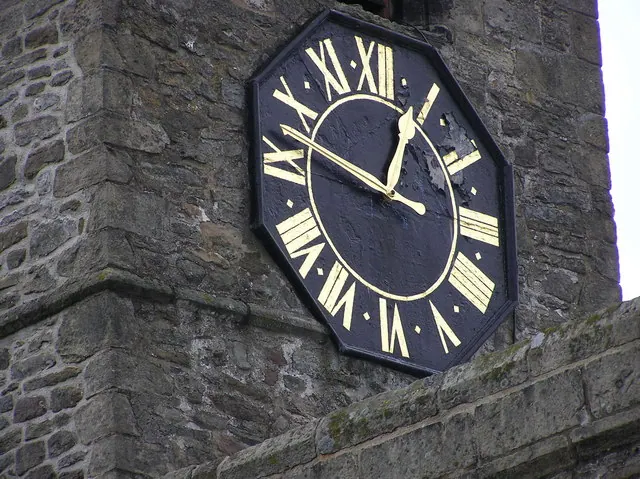
© Hugh Mortimer · Geograph · CC BY-SA 2.0
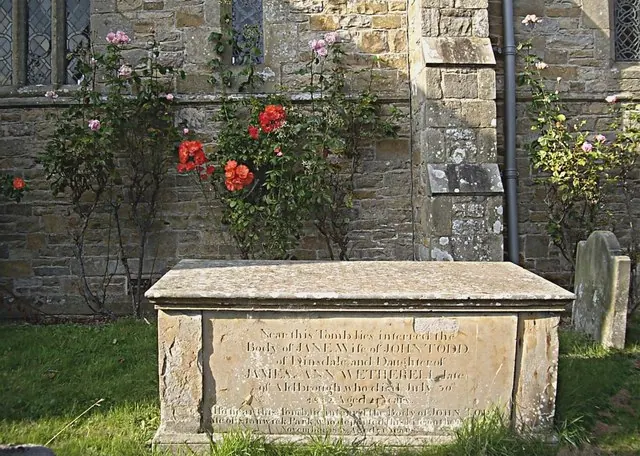
© Stanley Howe · Geograph · CC BY-SA 2.0
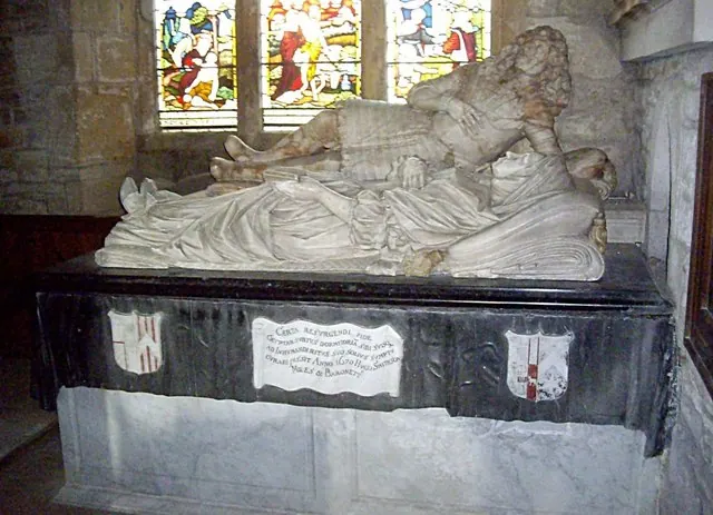
© Stanley Howe · Geograph · CC BY-SA 2.0
Images © their respective photographers, licensed under CC BY-SA 2.0 and reused here with attribution. Photographs depict listed buildings, churches and monuments near this settlement and may show neighbouring villages.
Location
54.4713°N, -1.6991°W · Land of Count Alan hundred, Yorkshire
View larger map on OpenStreetMap →Data derived from the Open Domesday project (opendomesday.org), based on the Domesday Book dataset compiled by Professor J.J.N. Palmer and team. The Domesday Book (1086) is in the public domain.
Found an inaccuracy? [email protected]