Melbourne in the Domesday Book (1086)
The settlement of Melbourne is recorded in William I’s Domesday survey of 1086, entered under the hundred of Walecros in Derbyshire.
Other Settlements in Walecros
- Appleby [Magna]
- Bolun
- Bretby
- Caldwell
- Catton
- Coton [-in-the-Elms]
- Drakelowe
- Foremark
- Hartshorne
- Hearthcote
- Ingleby
- Lullington
- Milton
- Newton [Solney]
The Meaning of the Name
The origin of the name Melbourne is not securely established from its modern form alone; like many settlement names in the North it likely combines an Old English or Old Norse personal name with a landscape term.
Remarkably, the name has changed little since 1086, when the Domesday scribes wrote it as Melbourne.
Listed Buildings Near Melbourne
Historic England records 130 listed buildings within about a mile of Melbourne. Listing protects structures of special architectural or historic interest, graded I (exceptional), II* (particularly important) and II.
Grade II
- 41, Derby Road - 0.08 km
- 47, Derby Road - 0.08 km
- Melbourne Baptist Church - 0.09 km
- 35, Derby Road - 0.1 km
- Number 33 and Attached Building to South - 0.11 km
- 7, Blanch Croft - 0.15 km
- 11, Blanch Croft - 0.16 km
- 17, Derby Road - 0.18 km
- Well Head at Sk 3878 2546 - 0.18 km
- 21, Blanch Croft - 0.19 km
- Exchange House - 0.23 km
- 43-57, Blanch Croft - 0.25 km
- Wesley Hall - 0.26 km
- Workshop to Rear of Number 28A - 0.27 km
- 10, Market Place - 0.27 km
- Market Cross - 0.28 km
- 16 and 18, Potter Street - 0.28 km
- 4 and 6, High Street - 0.28 km
- 17 and 18 Market Place - 0.29 km
- 21 Market Place - 0.29 km
- The Roebuck - 0.29 km
- 14 Market Place - 0.3 km
- 26, Market Place - 0.3 km
- 22-24, Market Place - 0.3 km
…and 106 more listed structures in the area.
Scheduled Monuments Near Melbourne
Scheduled monuments are nationally important archaeological sites given legal protection. 1 lies within roughly a mile of Melbourne:
Melbourne Today
Today Melbourne lies within the administrative area of South Derbyshire, and the settlement recorded a population of 5,264 at the 2021 census. Nine and a half centuries separate that figure from the small rural community the Domesday survey recorded here in 1086.
Read more about modern Melbourne on Wikipedia .
Nearby Domesday Settlements
Other places recorded in the 1086 survey within a few miles:
- Stanton -by-Bridge - 2.2 km NW
- Ticknall - 3.6 km SW
- Weston -on-Trent - 3.6 km NE
- Swarkestone - 3.6 km NW
- Barrow -upon-Trent - 4.2 km NW
- Ingleby - 4.5 km NW
Heritage Around Melbourne
Photographs of churches, listed buildings and monuments in the vicinity, contributed by volunteers to the Geograph project and reused here under a Creative Commons licence.
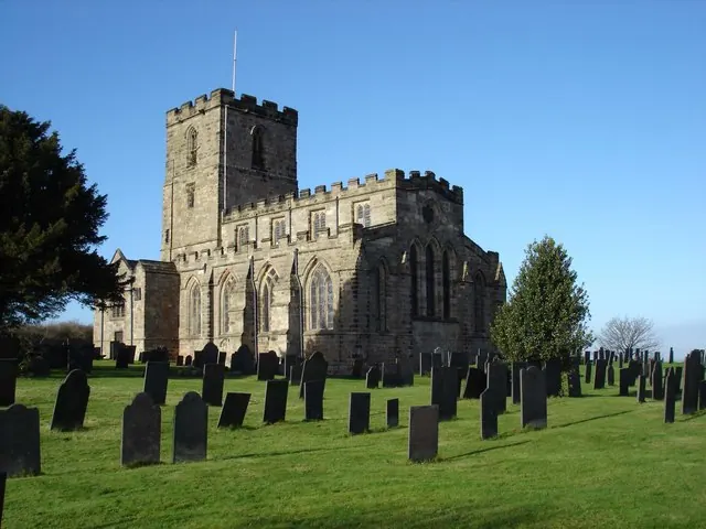
© Oxymoron · Geograph · CC BY-SA 2.0
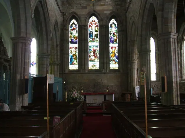
© Bill Henderson · Geograph · CC BY-SA 2.0
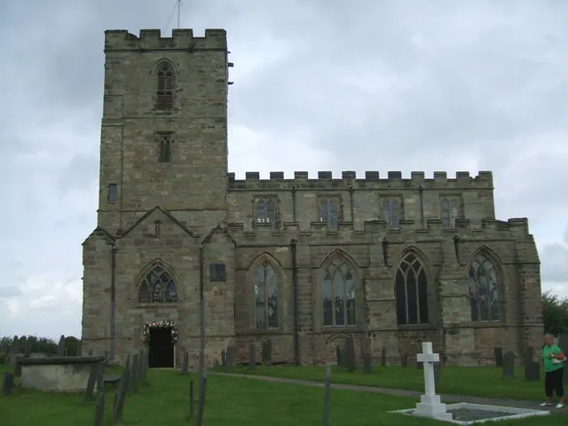
© Bill Henderson · Geograph · CC BY-SA 2.0
Images © their respective photographers, licensed under CC BY-SA 2.0 and reused here with attribution. Photographs depict listed buildings, churches and monuments near this settlement and may show neighbouring villages.
Data derived from the Open Domesday project (opendomesday.org), based on the Domesday Book dataset compiled by Professor J.J.N. Palmer and team. The Domesday Book (1086) is in the public domain.
Found an inaccuracy? [email protected]