Meaux in the Domesday Book (1086)
The 1086 Domesday survey records the settlement of Meaux, entered under the hundred of Holderness [Middle Hundred] in Yorkshire. The survey assessed Meaux at 95 carucates of taxable land.
The survey records Meaux’s value at 0d in 1086. No pre-Conquest figure survives – not unusual in the North, where records were disrupted by the Harrying and by the patchy coverage of the survey.
Other Settlements in Holderness [Middle Hundred]
- Aldbrough
- Benningholme [Hall]
- Bewick [Hall]
- Bilton
- Burton [Constable]
- Burton [Pidsea]
- Conis[ton]
- Danthorpe
- Dowthorpe [Hall]
- Drypool
- Ellerby
- Elstronwick
- Eske
- Etherdwick
The Meaning of the Name
The origin of the name Meaux is not securely established from its modern form alone; like many settlement names in the North it likely combines an Old English or Old Norse personal name with a landscape term.
Remarkably, the name has changed little since 1086, when the Domesday scribes wrote it as Meaux.
Listed Buildings Near Meaux
Historic England records 2 listed buildings within about a mile of Meaux. Listing protects structures of special architectural or historic interest, graded I (exceptional), II* (particularly important) and II.
Grade II
- Meaux Abbey Farm - 0.05 km
- Abbey Cottage, Tippett Lane - 1.25 km
Scheduled Monuments Near Meaux
Scheduled monuments are nationally important archaeological sites given legal protection. 2 lie within roughly a mile of Meaux:
- Medieval moated tile kiln 250m north east of North Grange Farm - 0.34 km
- Site of Meaux Cistercian Abbey - 1.17 km
Meaux Today
Today Meaux lies within the administrative area of Wawne.
Read more about modern Meaux on Wikipedia .
Nearby Domesday Settlements
Other places recorded in the 1086 survey within a few miles:
Heritage Around Meaux
Photographs of churches, listed buildings and monuments in the vicinity, contributed by volunteers to the Geograph project and reused here under a Creative Commons licence.
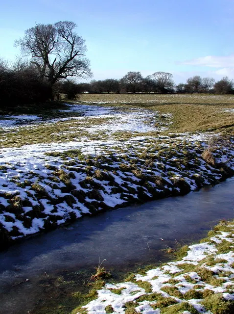
© Paul Glazzard · Geograph · CC BY-SA 2.0
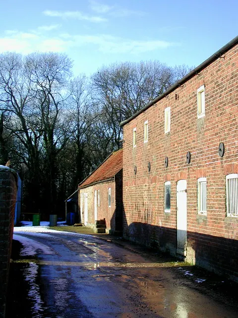
© Paul Glazzard · Geograph · CC BY-SA 2.0
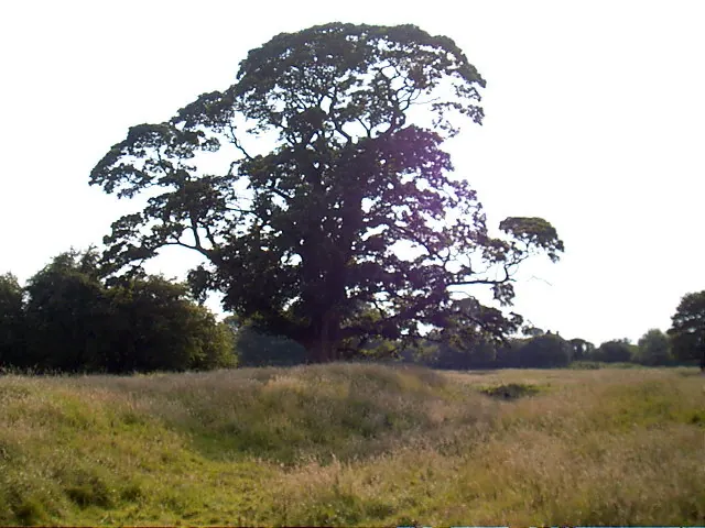
© Jonathan Fry · Geograph · CC BY-SA 2.0
Images © their respective photographers, licensed under CC BY-SA 2.0 and reused here with attribution. Photographs depict listed buildings, churches and monuments near this settlement and may show neighbouring villages.
Location
53.8489°N, -0.3353°W · Holderness [Middle Hundred] hundred, Yorkshire
View larger map on OpenStreetMap →Data derived from the Open Domesday project (opendomesday.org), based on the Domesday Book dataset compiled by Professor J.J.N. Palmer and team. The Domesday Book (1086) is in the public domain.
Found an inaccuracy? [email protected]