Matlock Bridge? in the Domesday Book (1086)
Matlock Bridge? is named in the Domesday Book, compiled by Norman commissioners in 1086, entered under the hundred of Hamston in Derbyshire.
Other Settlements in Hamston
- Alsop [-en-le-Dale]
- Ashbourne
- Atlow
- Ballidon
- Bonsall
- Bradbourne
- Brassington
- Broadlowash
- Callow
- Carsington
- Cowley
- Cromford
- Elton
- Hanson [Grange]
The Meaning of the Name
The name Matlock Bridge? is of Anglo-Saxon origin. Its final element derives from the Old English word hrycg, a ridge. The first element is most likely a personal name or an early descriptive term, now difficult to recover with certainty. Taken together the name probably meant something close to ‘a ridge’.
Remarkably, the name has changed little since 1086, when the Domesday scribes wrote it as Matlock Bridge?.
Listed Buildings Near Matlock Bridge?
Historic England records 38 listed buildings within about a mile of Matlock Bridge?. Listing protects structures of special architectural or historic interest, graded I (exceptional), II* (particularly important) and II.
Grade II*
- Matlock Bridge (Over River Derwent) - 0.34 km
- Church of St Giles - 0.84 km
- Wheatsheaf Farmhouse - 0.86 km
Grade II
- Allenhill Spa Well - 0.03 km
- 11, Dimple Road - 0.06 km
- Mile Stone 2 Miles From Matlock - 0.11 km
- Former Station Masters House at Matlock Station - 0.28 km
- Bank House (William Deacons Bank) - 0.34 km
- Dimple Farmhouse - 0.4 km
- Range of outbuildings at Dimple Farmhouse - 0.44 km
- Church of All Saints - 0.44 km
- Former Smedley’s Hydropathic (County Council Offices) - 0.53 km
- Tor Cottage - 0.66 km
- Boathouse Inn - 0.67 km
- Pic Tor War Memorial - 0.73 km
- Rockside Hall - 0.76 km
- 3 Knowleston Place - 0.78 km
- 5 Knowleston Place - 0.79 km
- Wellfield Cottage - 0.8 km
- 7-13 Knowleston Place - 0.81 km
- 15 Knowleston Place - 0.83 km
- Sundial in St Giles Churchyard - 0.85 km
- Churchyard Wall and Gatepiers of St Giles - 0.88 km
- The Rectory - 0.89 km
…and 14 more listed structures in the area.
Scheduled Monuments Near Matlock Bridge?
Scheduled monuments are nationally important archaeological sites given legal protection. 2 lie within roughly a mile of Matlock Bridge?:
- Matlock Bridge - 0.34 km
- Lead workings in High Tor Recreation Ground - 1.56 km
Matlock Bridge? Today
Today Matlock Bridge? lies within the administrative area of Matlock Town, and the settlement recorded a population of 15,519 at the 2016 census. Nine and a half centuries separate that figure from the small rural community the Domesday survey recorded here in 1086.
Read more about modern Matlock on Wikipedia .
Nearby Domesday Settlements
Other places recorded in the 1086 survey within a few miles:
Heritage Around Matlock [Bridge]?
Photographs of churches, listed buildings and monuments in the vicinity, contributed by volunteers to the Geograph project and reused here under a Creative Commons licence.
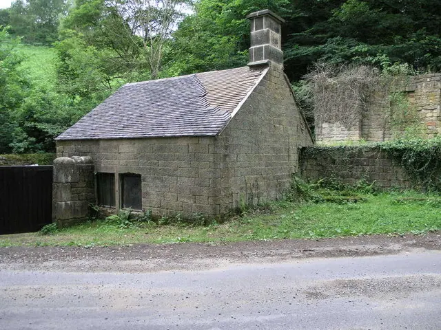
© Michael Patterson · Geograph · CC BY-SA 2.0
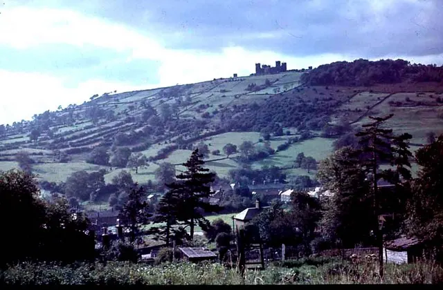
© Frank Airey · Geograph · CC BY-SA 2.0
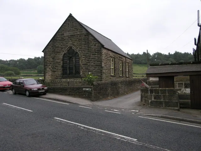
© Michael Patterson · Geograph · CC BY-SA 2.0
Images © their respective photographers, licensed under CC BY-SA 2.0 and reused here with attribution. Photographs depict listed buildings, churches and monuments near this settlement and may show neighbouring villages.
Data derived from the Open Domesday project (opendomesday.org), based on the Domesday Book dataset compiled by Professor J.J.N. Palmer and team. The Domesday Book (1086) is in the public domain.
Found an inaccuracy? [email protected]