Martin in the Domesday Book (1086)
Martin is named in the Domesday Book, compiled by Norman commissioners in 1086, entered under the hundred of [West] Derby in Cheshire. The survey assessed Martin at 1 carucate of taxable land.
At the time of the survey, Martin supported a recorded population of 1 villager.
The survey records Martin’s value at 3d in 1086. No pre-Conquest figure survives – not unusual in the North, where records were disrupted by the Harrying and by the patchy coverage of the survey.
Resources Recorded at Martin (1086)
- Woodland: 0.5 league * 40 perches mixed measures
Other Settlements in [West] Derby
- Ainsdale
- Allerton
- Argarmeles
- Aughton
- Barton
- Bootle
- Childwall
- Dalton
- Downholland
- Formby
- Halsall
- Hurlston
- Huyton
- Ince [Blundell]
The Meaning of the Name
The origin of the name Martin is not securely established from its modern form alone; like many settlement names in the North it likely combines an Old English or Old Norse personal name with a landscape term.
Remarkably, the name has changed little since 1086, when the Domesday scribes wrote it as Martin.
Listed Buildings Near Martin
Historic England records 6 listed buildings within about a mile of Martin. Listing protects structures of special architectural or historic interest, graded I (exceptional), II* (particularly important) and II.
Grade II*
Grade II
- Barn Approximately 15 Metres South of Wood House Farmhouse - 0.45 km
- Wood House Farmhouse - 0.47 km
- Crabtree Farmhouse - 0.51 km
- Martin Lane Bridge - 1.15 km
- 2 and 4, Merscar Lane - 1.29 km
Nearby Domesday Settlements
Other places recorded in the 1086 survey within a few miles:
- Hurlston - 2.8 km SW
- Up Litherland - 4.2 km SW
- Lathom - 5.0 km SE
- Halsall - 5.4 km SW
- Skelmersdale - 7.2 km SE
- Barton - 7.6 km SW
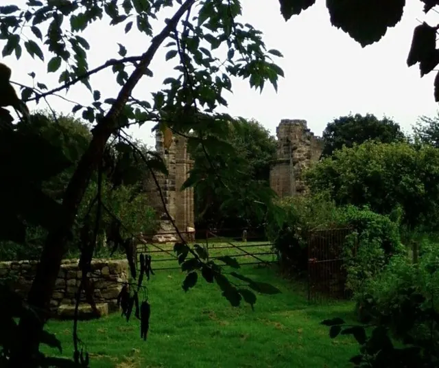
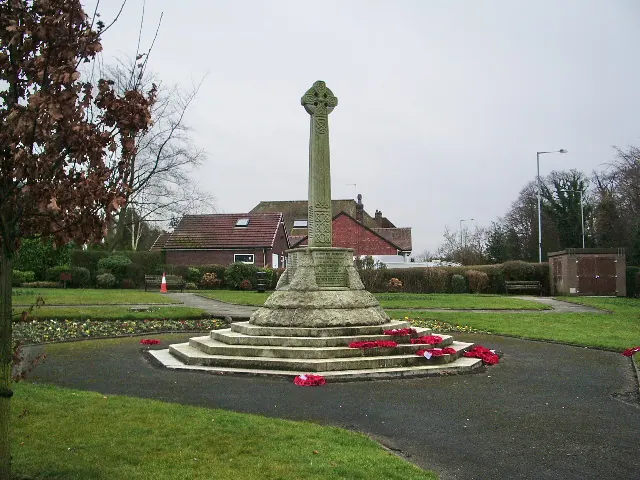
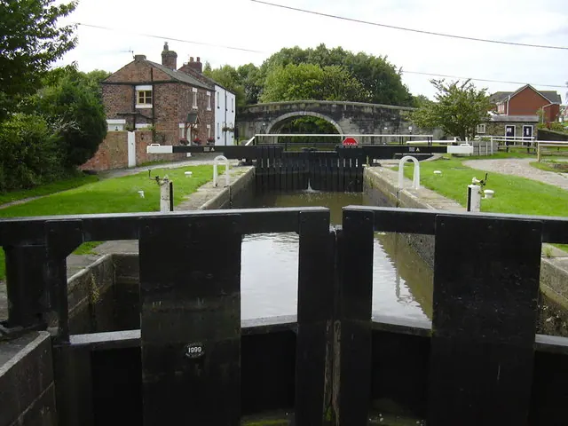
Heritage Around Martin
Photographs of churches, listed buildings and monuments in the vicinity, contributed by volunteers to the Geograph project and reused here under a Creative Commons licence.
© Dave Hamnett · Geograph · CC BY-SA 2.0
© Alexander P Kapp · Geograph · CC BY-SA 2.0
© Robert Wade · Geograph · CC BY-SA 2.0
Images © their respective photographers, licensed under CC BY-SA 2.0 and reused here with attribution. Photographs depict listed buildings, churches and monuments near this settlement and may show neighbouring villages.
Data derived from the Open Domesday project (opendomesday.org), based on the Domesday Book dataset compiled by Professor J.J.N. Palmer and team. The Domesday Book (1086) is in the public domain.
Found an inaccuracy? [email protected]