Marston Montgomery? in the Domesday Book (1086)
Marston Montgomery? is named in the Domesday Book, compiled by Norman commissioners in 1086, entered under the hundred of Appletree in Derbyshire. The survey assessed Marston Montgomery? at 11 carucates of taxable land.
At the time of the survey, Marston Montgomery? supported a recorded population of 6 villagers, 4 slaves, working 16 ploughs between them.
The survey records Marston Montgomery?’s value at 10 shillings in 1086. No pre-Conquest figure survives – not unusual in the North, where records were disrupted by the Harrying and by the patchy coverage of the survey.
Resources Recorded at Marston Montgomery? (1086)
- Meadow: 26 acres
- Woodland: 1 * 1 leagues & 3 * 2 furlongs mixed measures
Other Settlements in Appletree
- Alkmonton
- Ashe
- Aston
- Barton [Blount]
- Bentley
- Boylestone
- Bradley
- Brailsford
- Bupton
- Clifton
- Doveridge
- Eaton [Dovedale]
- Edlaston
- Ednaston
The Meaning of the Name
The name Marston Montgomery? is of Anglo-Saxon origin. Its final element derives from the Old English word tūn, a farmstead or village. The first element is most likely a personal name or an early descriptive term, now difficult to recover with certainty. Taken together the name probably meant something close to ‘a farmstead’.
Remarkably, the name has changed little since 1086, when the Domesday scribes wrote it as Marston Montgomery?.
Listed Buildings Near Marston Montgomery?
Historic England records 15 listed buildings within about a mile of Marston Montgomery?. Listing protects structures of special architectural or historic interest, graded I (exceptional), II* (particularly important) and II.
Grade II*
- The Manor House - 0.43 km
- Church of St Giles - 0.44 km
Grade II
- Banktop Farmhouse - 0.31 km
- Table Tomb 9 Yards South East of St Giles Church Porch - 0.42 km
- Outbuilding East of the Manor House - 0.42 km
- Pair of Table Tombs 4 Yards East of St Giles Church Porch - 0.43 km
- Rose Cottage - 0.43 km
- Dove House - 0.45 km
- Lychgate, Bus Stop and Connecting Retaining Wall to Churchyard - 0.45 km
- Pearl Bank Farmhouse - 0.45 km
- Morledge House - 0.74 km
- Waldley Manor Farmhouse - 0.95 km
- Outbuilding to North of Waldley Manor Farmhouse - 0.95 km
- Thurvaston House - 1.08 km
- Waldley Farmhouse - 1.14 km
Marston Montgomery? Today
Today Marston Montgomery? lies within the administrative area of Derbyshire Dales, and the settlement recorded a population of 414 at the 2021 census. Nine and a half centuries separate that figure from the small rural community the Domesday survey recorded here in 1086.
Read more about modern Marston Montgomery on Wikipedia .
Nearby Domesday Settlements
Other places recorded in the 1086 survey within a few miles:
- Sedsall - 2.0 km W
- Somersal - 2.0 km S
- Great and Little Cubley - 3.0 km E
- Eaton Dovedale - 3.0 km W
- Rocester - 3.6 km NW
- Doveridge - 3.6 km SW
Heritage Around Marston [Montgomery]?
Photographs of churches, listed buildings and monuments in the vicinity, contributed by volunteers to the Geograph project and reused here under a Creative Commons licence.
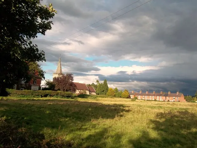
© Jonathan Clitheroe · Geograph · CC BY-SA 2.0
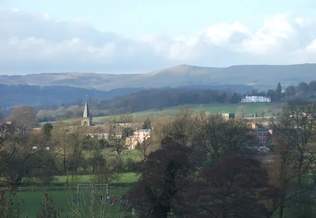
© Peter Taylor · Geograph · CC BY-SA 2.0
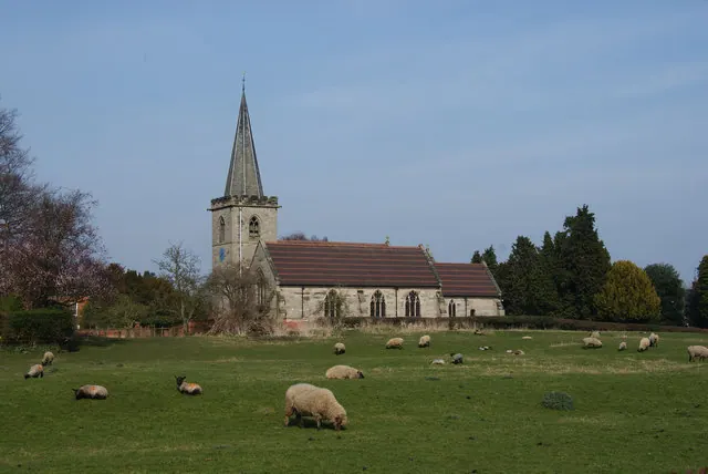
© Bill Boaden · Geograph · CC BY-SA 2.0
Images © their respective photographers, licensed under CC BY-SA 2.0 and reused here with attribution. Photographs depict listed buildings, churches and monuments near this settlement and may show neighbouring villages.
Data derived from the Open Domesday project (opendomesday.org), based on the Domesday Book dataset compiled by Professor J.J.N. Palmer and team. The Domesday Book (1086) is in the public domain.
Found an inaccuracy? [email protected]