Marsh? in the Domesday Book (1086)
Marsh? is named in the Domesday Book, compiled by Norman commissioners in 1086, entered under the hundred of Litchurch in Derbyshire. The survey assessed Marsh? at 4.5 carucates of taxable land.
At the time of the survey, Marsh? supported a recorded population of 6 villagers, 6 smallholders, 6 slaves, working 6 ploughs between them.
By 1086 Marsh? was worth 10 shillings, up from 4.35 shillings before the Conquest – in contrast to many Yorkshire neighbours whose valuations collapsed.
Resources Recorded at Marsh? (1086)
- Mills: 2 mills (valued at 1 shilling)
Other Settlements in Litchurch
- Allestree
- Alvaston
- Ambaston
- Arleston
- Aston [-on-Trent]
- Barrow [-upon-Trent]
- Bearwardcote
- Boulton
- Burnaston
- Chellaston
- Cottons
- Dalbury
- Egginton
- Elvaston
The Meaning of the Name
The origin of the name Marsh? is not securely established from its modern form alone; like many settlement names in the North it likely combines an Old English or Old Norse personal name with a landscape term.
Remarkably, the name has changed little since 1086, when the Domesday scribes wrote it as Marsh?.
Scheduled Monuments Near Marsh?
Scheduled monuments are nationally important archaeological sites given legal protection. 1 lies within roughly a mile of Marsh?:
- Settlement site - 1.13 km
Nearby Domesday Settlements
Other places recorded in the 1086 survey within a few miles:
- Chellaston - 1.0 km W
- Thulston - 1.4 km NE
- Aston -on-Trent - 2.2 km SE
- Boulton - 2.2 km NW
- Weston -on-Trent - 2.2 km SE
- Elvaston - 2.8 km NE
Heritage Around Marsh?
Photographs of churches, listed buildings and monuments in the vicinity, contributed by volunteers to the Geograph project and reused here under a Creative Commons licence.
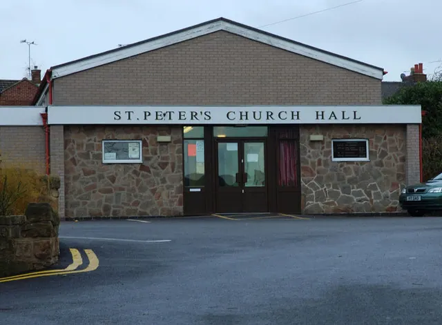
© Phil Myott · Geograph · CC BY-SA 2.0
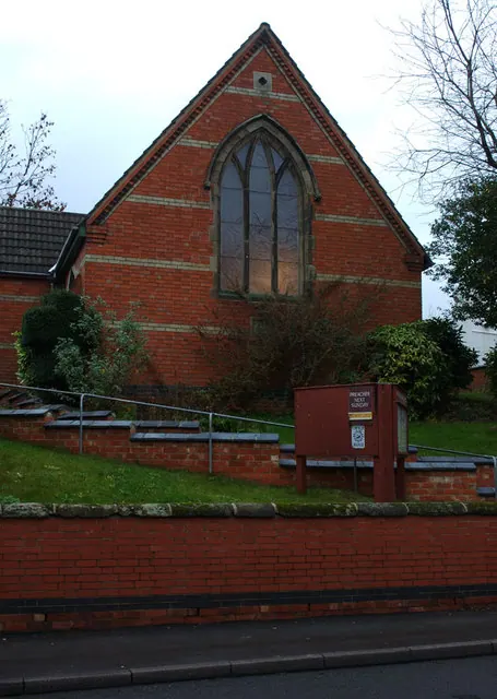
© Phil Myott · Geograph · CC BY-SA 2.0
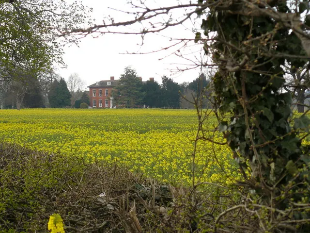
© Andy Jamieson · Geograph · CC BY-SA 2.0
Images © their respective photographers, licensed under CC BY-SA 2.0 and reused here with attribution. Photographs depict listed buildings, churches and monuments near this settlement and may show neighbouring villages.
Data derived from the Open Domesday project (opendomesday.org), based on the Domesday Book dataset compiled by Professor J.J.N. Palmer and team. The Domesday Book (1086) is in the public domain.
Found an inaccuracy? [email protected]