Marley in the Domesday Book (1086)
Marley appears in the Domesday Book of 1086, entered under the hundred of Skyrack in Yorkshire. The survey assessed Marley at 2 carucates of taxable land.
At the time of the survey, Marley supported a recorded population of 8 villagers, working 2 ploughs between them.
Other Settlements in Skyrack
- Adel
- Allerton [Bywater]
- Alwoodley
- Arthington
- Austhorpe
- Baildon
- Bardsey
- Barwick [in Elmet]
- Bichertun
- Bicherun
- Bingley
- Birkby [Hill]
- Bramhope
- Burden [Head]
The Meaning of the Name
The name Marley is of Anglo-Saxon origin. Its final element derives from the Old English word lēah, a woodland clearing or glade. The first element is most likely a personal name or an early descriptive term, now difficult to recover with certainty. Taken together the name probably meant something close to ‘a clearing’.
Remarkably, the name has changed little since 1086, when the Domesday scribes wrote it as Marley.
Listed Buildings Near Marley
Historic England records 20 listed buildings within about a mile of Marley. Listing protects structures of special architectural or historic interest, graded I (exceptional), II* (particularly important) and II.
Grade I
Grade II*
- Ryshworth Hall - 0.58 km
Grade II
- 2, 3, 4, 5 and 6, Castlefields - 0.45 km
- Ravenroyd - 0.48 km
- Marley Hall - 0.54 km
- Front Garden Wall of Marley - 0.55 km
- Blakey Cottage and Blakey House - 0.66 km
- The Lodge - 0.71 km
- Leeds and Liverpool Canal, Aqueduct Over Morton Beck at Se1003 4120 (That Part Which Lies in Keighley) - 0.84 km
- Laythorpe Farmhouse and Attached Barn - 0.93 km
- 12-20 Victoria Street - 1.1 km
- Manor House, 8 and 10 Victoria Street - 1.13 km
- Manor House, 4 and 6 Victoria Street - 1.15 km
- Airedale Heifer Public House and Attached Barn - 1.17 km
- Malthouse Adjacent to Number 21 Micklethwaite - 1.19 km
- Barn Attached to Croft House Farmhouse - 1.2 km
- Green Hill Gate - 1.2 km
- Micklethwaite Grange - 1.21 km
- Cottage Attached to South East End of Fairlady Farmhouse - 1.29 km
- 2,4,6,8,10A,12 AND 12A, KEIGHLEY ROAD (See details for further address information) - 1.29 km
Nearby Domesday Settlements
Other places recorded in the 1086 survey within a few miles:
- Micklethwaite - 1.4 km NE
- Bingley - 1.4 km SE
- East and West Morton - 2.0 km N
- Halton - 2.0 km S
- Riddlesden - 2.8 km NW
- Eldwick - 3.0 km E
Heritage Around Marley
Photographs of churches, listed buildings and monuments in the vicinity, contributed by volunteers to the Geograph project and reused here under a Creative Commons licence.
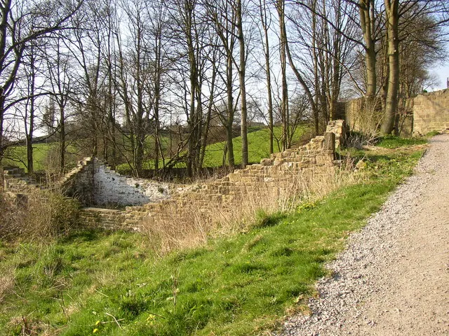
© Humphrey Bolton · Geograph · CC BY-SA 2.0
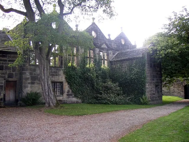
© Humphrey Bolton · Geograph · CC BY-SA 2.0
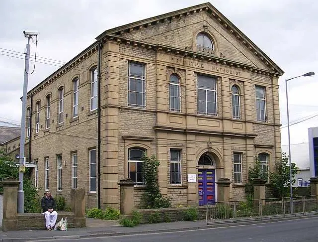
© Betty Longbottom · Geograph · CC BY-SA 2.0
Images © their respective photographers, licensed under CC BY-SA 2.0 and reused here with attribution. Photographs depict listed buildings, churches and monuments near this settlement and may show neighbouring villages.
Data derived from the Open Domesday project (opendomesday.org), based on the Domesday Book dataset compiled by Professor J.J.N. Palmer and team. The Domesday Book (1086) is in the public domain.
Found an inaccuracy? [email protected]