Markeaton in the Domesday Book (1086)
The settlement of Markeaton is recorded in William I’s Domesday survey of 1086, entered under the hundred of Morleystone in Derbyshire.
Other Settlements in Morleystone
- Bradley
- Breadsall
- Breaston
- Cellesdene
- Chaddesden
- Codnor
- Crich
- Denby
- Derby
- Draycott
- Duffield
- Hallam
- Heanor
- Herdebi
The Meaning of the Name
The name Markeaton is of Anglo-Saxon origin. Its final element derives from the Old English word tūn, a farmstead or village. The first element is most likely a personal name or an early descriptive term, now difficult to recover with certainty. Taken together the name probably meant something close to ‘a farmstead’.
Remarkably, the name has changed little since 1086, when the Domesday scribes wrote it as Markeaton.
Listed Buildings Near Markeaton
Historic England records 51 listed buildings within about a mile of Markeaton. Listing protects structures of special architectural or historic interest, graded I (exceptional), II* (particularly important) and II.
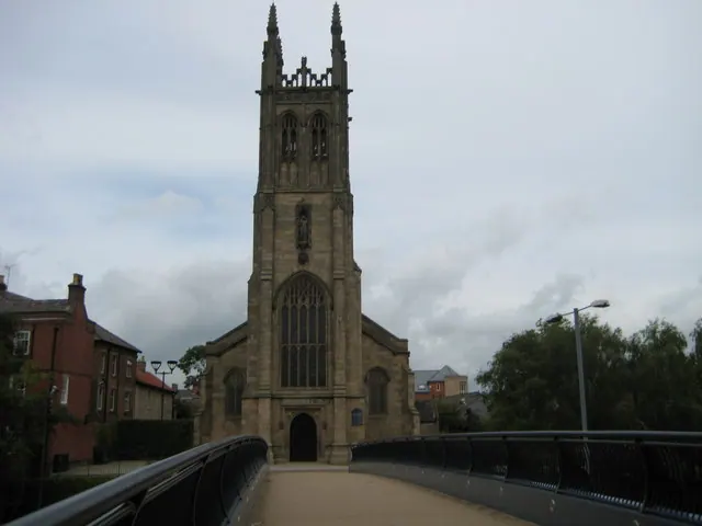
Grade II*
- Church of St Anne - 0.97 km
Grade II
- Conservatory in Markeaton Park - 0.29 km
- Former Toll House - 0.45 km
- Home Farmhouse - 0.49 km
- The Green - 0.51 km
- The Farm - 0.53 km
- 193 and 195, Ashbourne Road - 0.61 km
- 161, Ashbourne Road - 0.66 km
- Eborn House - 0.73 km
- Ashgate Junior School, Front Block, Dining Hall and Boundary Wall - 0.91 km
- Railings to North of Railway Orphanage - 0.96 km
- 48 and 50, Kedleston Road - 0.99 km
- 38, Ashbourne Road - 1.0 km
- The Georgian House Hotel - 1.03 km
- 32, Ashbourne Road - 1.04 km
- Highfield House - 1.04 km
- 30, Ashbourne Road - 1.06 km
- The Cedars - 1.07 km
- 28, Ashbourne Road - 1.07 km
- 24 and 26, Ashbourne Road - 1.08 km
- 126, Nuns Street - 1.13 km
- 2, ASHBOURNE ROAD (See details for further address information) - 1.17 km
- 4 and 4A, Ashbourne Road - 1.17 km
- Wall and Railing on East Side of Road - 1.19 km
…and 27 more listed structures in the area.
Markeaton Today
Today Markeaton lies within the administrative area of City of Derby.
Read more about modern Markeaton on Wikipedia .
Nearby Domesday Settlements
Other places recorded in the 1086 survey within a few miles:
- Little Chester - 2.0 km E
- Mackworth - 2.0 km W
- Derby - 2.2 km SE
- Allestree - 2.2 km NE
- Littleover - 3.2 km S
- Breadsall - 3.6 km NE
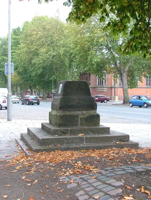
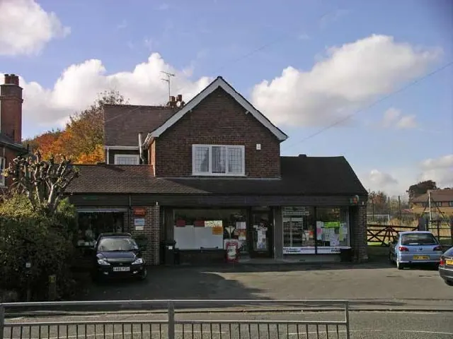
Heritage Around Markeaton
Photographs of churches, listed buildings and monuments in the vicinity, contributed by volunteers to the Geograph project and reused here under a Creative Commons licence.
© J147 · Geograph · CC BY-SA 2.0
© mike smith · Geograph · CC BY-SA 2.0
© Graham Burnett · Geograph · CC BY-SA 2.0
Images © their respective photographers, licensed under CC BY-SA 2.0 and reused here with attribution. Photographs depict listed buildings, churches and monuments near this settlement and may show neighbouring villages.
Data derived from the Open Domesday project (opendomesday.org), based on the Domesday Book dataset compiled by Professor J.J.N. Palmer and team. The Domesday Book (1086) is in the public domain.
Found an inaccuracy? [email protected]