Maltby in the Domesday Book (1086)
Maltby appears in the Domesday Book of 1086, entered under the hundred of Strafforth in Yorkshire. The survey assessed Maltby at 5.8 carucates of taxable land.
At the time of the survey, Maltby supported a recorded population of 19 villagers, 24 smallholders, 1 slave, working 10 ploughs between them.
The numbers record a sharp fall. Before 1066, Maltby was worth 11.6 shillings; by 1086 that had dropped to 10.05 shillings – a fall of 13%. Most Yorkshire villages that lost value on this scale were swept up in the Harrying of the North – William’s scorched-earth campaign of 1069–70.
The survey lists 4 manors at Maltby under different lords. Splitting a single settlement between multiple tenants was common across the North – Saxon estates broken up and handed to William’s followers after 1066.
Resources Recorded at Maltby (1086)
- Meadow: 0.5 ploughs
Other Settlements in Strafforth
- Adwick [le Street]
- Adwick [upon Dearne]
- Armthorpe
- Aston
- Attercliffe
- Auckley
- Aughton [Hall]
- Austerfield
- Balby
- Barnbrough
- Barnby [Dun]
- Bentley
- Bilham [House]
- Billingley
The Meaning of the Name
The name Maltby is of Scandinavian origin. Its final element derives from the Old Norse word bý, a farmstead or village. The first element is most likely a personal name or an early descriptive term, now difficult to recover with certainty. Taken together the name probably meant something close to ‘a farmstead’.
Names of this type are a fingerprint of Scandinavian settlement: they cluster across the old Danelaw, where Norse-speaking settlers renamed or founded villages from the late 9th century onward.
Remarkably, the name has changed little since 1086, when the Domesday scribes wrote it as Maltby.
Listed Buildings Near Maltby
Historic England records 14 listed buildings within about a mile of Maltby. Listing protects structures of special architectural or historic interest, graded I (exceptional), II* (particularly important) and II.
Grade II*
- Church of Saint Bartholomew - 0.45 km
Grade II
- Farmbuilding Approximately 20 Metres to East of Home Farmhouse - 0.45 km
- Medieval Tomb Set in Lych Gate to Church of Saint Bartholomew - 0.46 km
- 27, Blyth Road - 0.6 km
- Market Cross Situated at Junction With Blyth Road - 0.6 km
- Kingwood View - 0.63 km
- Maltby War Memorial - 0.66 km
- Farmbuilding immediately to west of Manor House Farmhouse - 0.67 km
- Milepost Approximately 30 Metres South of Junction With Morrell Street - 0.67 km
- Farmbuilding approximately 20 metres to west of house at Mill Farm - 0.73 km
- House and Attached Mill Building at Mill Farm - 0.76 km
- Cartshed Approximately 15 Metres North East of House at Mill Farm - 0.76 km
- Milepost Approximately 40 Metres to East of Junction With Millindale - 0.94 km
- Milepost Opposite Junction With Addison Road - 1.15 km
Maltby Today
Today Maltby lies within the administrative area of Rotherham, and the settlement recorded a population of 16,470 at the 2021 census. Nine and a half centuries separate that figure from the small rural community the Domesday survey recorded here in 1086.
Read more about modern Maltby on Wikipedia .
Nearby Domesday Settlements
Other places recorded in the 1086 survey within a few miles:
- Hooton Levitt - 0.0 km N
- Newhall Grange - 2.0 km W
- Slade Hooton - 2.0 km S
- Hellaby - 2.2 km NW
- Braithwell - 3.0 km N
- Bramley - 3.2 km W
Heritage Around Maltby
Photographs of churches, listed buildings and monuments in the vicinity, contributed by volunteers to the Geograph project and reused here under a Creative Commons licence.
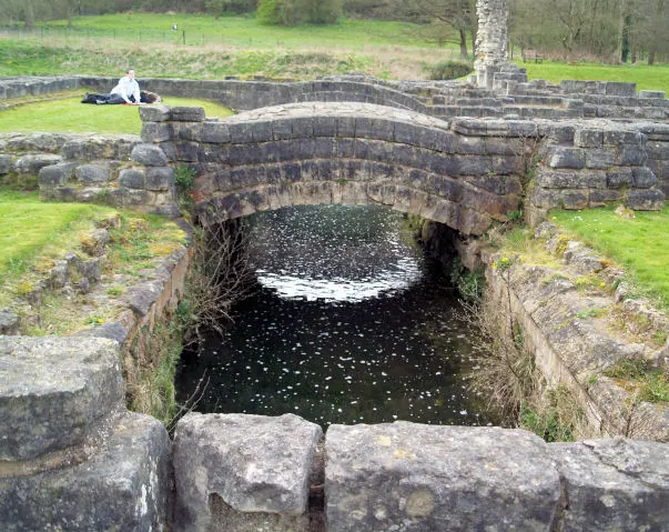
© Steve Fareham · Geograph · CC BY-SA 2.0
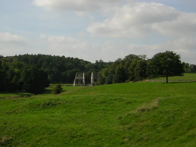
© Richard Croft · Geograph · CC BY-SA 2.0
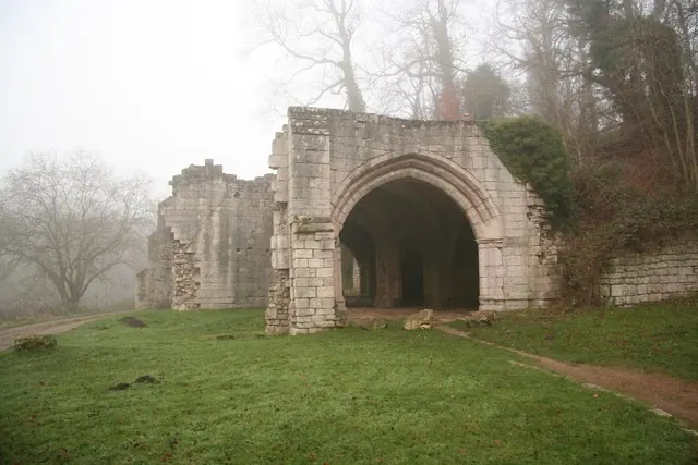
© Richard Croft · Geograph · CC BY-SA 2.0
Images © their respective photographers, licensed under CC BY-SA 2.0 and reused here with attribution. Photographs depict listed buildings, churches and monuments near this settlement and may show neighbouring villages.
Data derived from the Open Domesday project (opendomesday.org), based on the Domesday Book dataset compiled by Professor J.J.N. Palmer and team. The Domesday Book (1086) is in the public domain.
Found an inaccuracy? [email protected]