Malham in the Domesday Book (1086)
The 1086 Domesday survey records the settlement of Malham, entered under the hundred of Craven in Yorkshire. The survey assessed Malham at 1 carucate of taxable land.
At the time of the survey, Malham supported a recorded population of 21 villagers, 10 smallholders, 3 slaves, working 15 ploughs between them.
The survey records Malham’s value at 11.75 shillings in 1086. No pre-Conquest figure survives – not unusual in the North, where records were disrupted by the Harrying and by the patchy coverage of the survey.
Resources Recorded at Malham (1086)
- Mills: 1 mill (valued at 3d)
- Churches: 1
- Cattle: 6
- Meadow: 36 acres
- Woodland: 10 acres
Other Settlements in Craven
- Addingham
- Airton
- Anley
- Appletreewick
- Arncliffe
- Arnford
- Barnoldswick
- Bashall [Eaves]
- Battersby [Barn]
- Beamsley
- Birkby [Hall]
- Bogeuurde
- Bolton [Abbey]
- Bolton [by Bowland]
The Meaning of the Name
The name Malham is of Anglo-Saxon origin. Its final element derives from the Old English word hām, a homestead or village. The first element is most likely a personal name or an early descriptive term, now difficult to recover with certainty. Taken together the name probably meant something close to ‘a homestead’.
Remarkably, the name has changed little since 1086, when the Domesday scribes wrote it as Malham.
Listed Buildings Near Malham
Historic England records 21 listed buildings within about a mile of Malham. Listing protects structures of special architectural or historic interest, graded I (exceptional), II* (particularly important) and II.
Grade II
- Friar Garth Farmhouse - 0.48 km
- Mires Field House - 0.53 km
- Tennant House and Cottage - 0.56 km
- Town End Cottage - 0.57 km
- Holme House Farmhouse - 0.59 km
- Mantley Field Laithe Grid Reference Sd 909 630 - 0.6 km
- New Bridge - 0.61 km
- Post Office, Also Known As South View Cafe - 0.62 km
- Lister Arms Hotel - 0.63 km
- K6 telephone kiosk, Malham - 0.65 km
- Hall Cottage, Rose Cottage and Old Post Cottage - 0.66 km
- The Old School - 0.66 km
- Priory Farmhouse - 0.68 km
- Clapper Bridge Opposite Cromwell Cottage - 0.79 km
- Hill Top Farmhouse and Cottage - 0.87 km
- Wall of Garden to North of Hill Top Farmhouse - 0.91 km
- Hill Top House - 0.94 km
- Moons Town Head Farmhouse - 1.0 km
- Hudson’s Town Head Farmhouse - 1.02 km
- Barn to North of Moons Town Head Farmhouse - 1.03 km
- Hellenstead Barn Grid Reference Sd 3905 4613 - 1.16 km
Scheduled Monuments Near Malham
Scheduled monuments are nationally important archaeological sites given legal protection. 5 lie within roughly a mile of Malham:
- Lynchets N of Malham village - 1.06 km
- Settlement N of Stridebut Edge - 1.3 km
- Medieval settlements and lynchets extending NW from Town Head - 1.51 km
- Round cairn south east of Broad Flats - 1.56 km
- Field system S of Malham Cove - 1.58 km
Malham Today
Today Malham lies within the administrative area of Craven, and the settlement recorded a population of 162 at the 2021 census. Nine and a half centuries separate that figure from the small rural community the Domesday survey recorded here in 1086.
Read more about modern Malham on Wikipedia .
Nearby Domesday Settlements
Other places recorded in the 1086 survey within a few miles:
Heritage Around Malham
Photographs of churches, listed buildings and monuments in the vicinity, contributed by volunteers to the Geograph project and reused here under a Creative Commons licence.
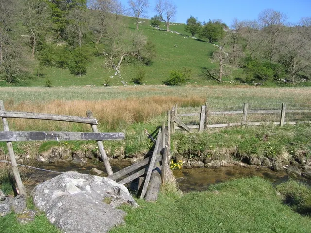
© John S Turner · Geograph · CC BY-SA 2.0
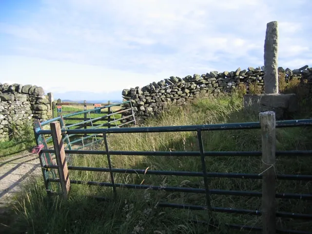
© John S Turner · Geograph · CC BY-SA 2.0
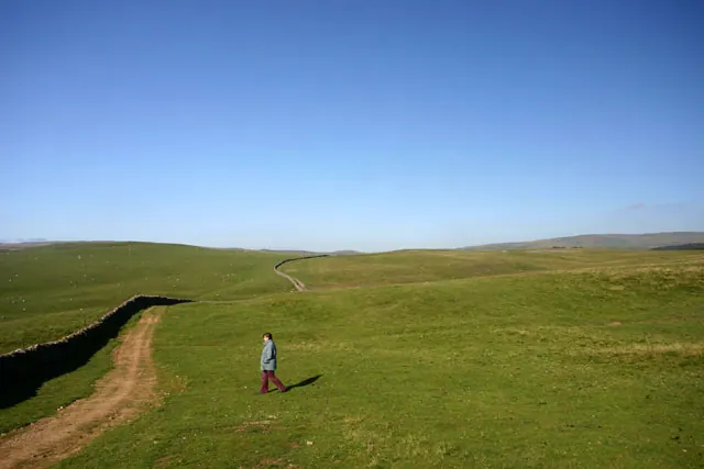
© Andy Stephenson · Geograph · CC BY-SA 2.0
Images © their respective photographers, licensed under CC BY-SA 2.0 and reused here with attribution. Photographs depict listed buildings, churches and monuments near this settlement and may show neighbouring villages.
Data derived from the Open Domesday project (opendomesday.org), based on the Domesday Book dataset compiled by Professor J.J.N. Palmer and team. The Domesday Book (1086) is in the public domain.
Found an inaccuracy? [email protected]