Macclesfield in the Domesday Book (1086)
The 1086 Domesday survey records the settlement of Macclesfield, entered under the hundred of Hamestan in Cheshire.
Other Settlements in Hamestan
- Adlington
- Bosley
- Bramhall
- Bredbury
- Butley
- Capesthorne
- Cheadle
- Chelford
- Cranage
- Gawsworth
- Henbury
- Hollingworth
- Hungrewenitune
- Kermincham
The Meaning of the Name
The name Macclesfield is of Anglo-Saxon origin. Its final element derives from the Old English word feld, open country. The first element is most likely a personal name or an early descriptive term, now difficult to recover with certainty. Taken together the name probably meant something close to ‘a open land’.
Remarkably, the name has changed little since 1086, when the Domesday scribes wrote it as Macclesfield.
Listed Buildings Near Macclesfield
Historic England records 191 listed buildings within about a mile of Macclesfield. Listing protects structures of special architectural or historic interest, graded I (exceptional), II* (particularly important) and II.
Grade II*
- Macclesfield Sunday School (Macclesfield Heritage Centre) Roe Street Sunday School - 0.02 km
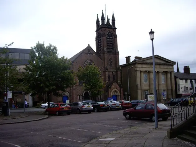
- Christ Church - 0.21 km
Grade II
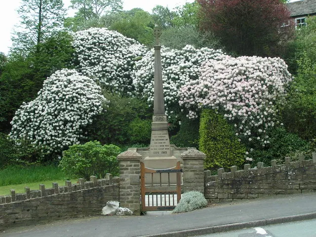
- Memorial Outside Sunday School - 0.03 km
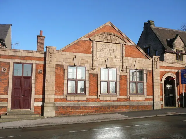
- Wall, Railings and Gate Piers to Former St Albans Parochial Hall - 0.09 km
- Former St Albans Parochial Church Hall - 0.09 km
- 57, Roe Street - 0.09 km
- 59, Roe Street - 0.1 km
- 79, 81 and 83, Mill Street - 0.11 km
- 63 and 65, Roe Street - 0.11 km
- 65A and 67, Roe Street - 0.12 km
- 96, Mill Street - 0.14 km
- 34, Mill Street - 0.16 km
- Birch House and Attached Railings - 0.18 km
- 36, BRIDGE STREET (See details for further address information) - 0.19 km
- 31, Great King Street - 0.21 km
- The Castle Public House - 0.21 km
- 17-25, Back Wallgate - 0.22 km
- 102 and 104, Bridge Street - 0.23 km
- Macclesfield Detached Youth and Disability Information Bureau - 0.23 km
- 38-70, Paradise Street - 0.23 km
- 5-21, Church Street - 0.24 km
- 90 and 92, Waters Green - 0.24 km
- 47 and 47A, Churchside - 0.26 km
- United Reformed Church - 0.26 km
…and 167 more listed structures in the area.
Scheduled Monuments Near Macclesfield
Scheduled monuments are nationally important archaeological sites given legal protection. 2 lie within roughly a mile of Macclesfield:
- Three early medieval cross shafts in West Park - 0.86 km
- Bowl barrow in Lavenham Close, Tytherington - 1.46 km
Macclesfield Today
Today Macclesfield lies within the administrative area of Cheshire East, and the settlement recorded a population of 52,508 at the 2021 census. Nine and a half centuries separate that figure from the small rural community the Domesday survey recorded here in 1086.
Read more about modern Macclesfield on Wikipedia .
Nearby Domesday Settlements
Other places recorded in the 1086 survey within a few miles:
- Henbury - 3.0 km W
- Butley - 4.0 km N
- Hungrewenitune - 4.1 km N
- Gawsworth - 5.0 km SW
- Over Alderley - 5.8 km NW
- Mottram St Andrew - 6.7 km NW
Heritage Around Macclesfield
Photographs of churches, listed buildings and monuments in the vicinity, contributed by volunteers to the Geograph project and reused here under a Creative Commons licence.
© Colin Park · Geograph · CC BY-SA 2.0
© Dave Dunford · Geograph · CC BY-SA 2.0
© Tom Pennington · Geograph · CC BY-SA 2.0
Images © their respective photographers, licensed under CC BY-SA 2.0 and reused here with attribution. Photographs depict listed buildings, churches and monuments near this settlement and may show neighbouring villages.
Data derived from the Open Domesday project (opendomesday.org), based on the Domesday Book dataset compiled by Professor J.J.N. Palmer and team. The Domesday Book (1086) is in the public domain.
Found an inaccuracy? [email protected]