Lythe in the Domesday Book (1086)
The settlement of Lythe is recorded in William I’s Domesday survey of 1086, entered under the hundred of Langbaurgh in Yorkshire.
Other Settlements in Langbaurgh
- Acklam
- Airy [Holme]
- Aislaby
- Arnodestorp
- Baldebi
- Barnaby
- Barwick
- Battersby
- Bergolbi
- Berguluesbi
- Blaten [Carr]
- Borrowby
- Breck
- Brotton
The Meaning of the Name
The origin of the name Lythe is not securely established from its modern form alone; like many settlement names in the North it likely combines an Old English or Old Norse personal name with a landscape term.
Remarkably, the name has changed little since 1086, when the Domesday scribes wrote it as Lythe.
Listed Buildings Near Lythe
Historic England records 24 listed buildings within about a mile of Lythe. Listing protects structures of special architectural or historic interest, graded I (exceptional), II* (particularly important) and II.
Grade I
- Church of St Oswald - 0.51 km
Grade II*
- Stable Building to North of Mulgrave Castle - 0.87 km
- Mulgrave Castle and Screen Walls to North - 0.94 km
Grade II
- Holly Cottage - 0.39 km
- Kerr’s Farmhouse and Stable Adjoining - 0.4 km
- Low Farmhouse - 0.4 km
- Ivy Cottage, the Holmstead, Seawood View and Topcliffe - 0.4 km
- Chapel Cottage - 0.41 km
- Rose Cottage - 0.41 km
- Oakdene - 0.41 km
- High Farmhouse - 0.41 km
- Phipps’ Farmhouse - 0.42 km
- Abingdon House and House Adjoining to West - 0.43 km
- Wayside and Bank Cottage - 0.45 km
- Cobbler Cottage and Outbuilding Attached on Right - 0.45 km
- Victoria House - 0.46 km
- Middle Farmhouse - 0.46 km
- The Old Vicarage - 0.47 km
- Lythe War Memorial - 0.51 km
- Lythe Hall - 0.52 km
- Myrtle Cottage, Ivy Cottage, Fern Cottage, Rose Cottage and Elm Cottage - 0.56 km
- Upton Hall and Adjoining Outbuildings - 0.63 km
- Overdale Farmhouse - 0.7 km
- Barns, Gin-gang and Byres to North and East of Overdale Farmhouse - 0.72 km
Scheduled Monuments Near Lythe
Scheduled monuments are nationally important archaeological sites given legal protection. 2 lie within roughly a mile of Lythe:
- Alum quarries and works 800m north of Sandsend Bridge - 1.2 km
- Sandsend alum house - 1.52 km
Lythe Today
Today Lythe lies within the administrative area of Scarborough, and the settlement recorded a population of 340 at the 2021 census. Nine and a half centuries separate that figure from the small rural community the Domesday survey recorded here in 1086.
Read more about modern Lythe on Wikipedia .
Nearby Domesday Settlements
Other places recorded in the 1086 survey within a few miles:
- Goldsborough - 1.4 km NW
- Mulgrave Castle - 2.2 km SW
- Dunsley - 2.2 km SE
- East and West Barnby - 3.2 km W
- Hutton Mulgrave - 3.2 km S
- Newholm - 3.6 km SE
Heritage Around Lythe
Photographs of churches, listed buildings and monuments in the vicinity, contributed by volunteers to the Geograph project and reused here under a Creative Commons licence.
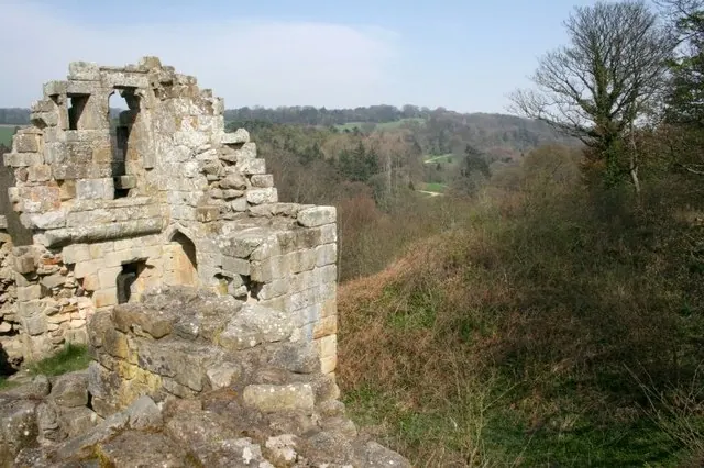
© Mick Garratt · Geograph · CC BY-SA 2.0
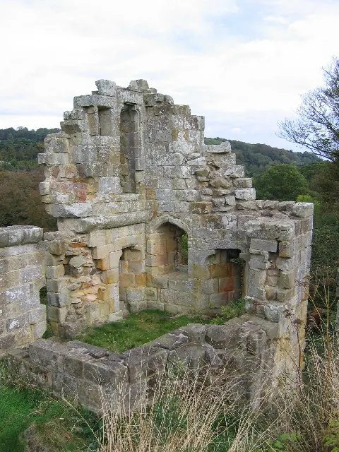
© Stephen Horncastle · Geograph · CC BY-SA 2.0
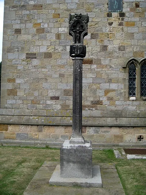
© Mike Kirby · Geograph · CC BY-SA 2.0
Images © their respective photographers, licensed under CC BY-SA 2.0 and reused here with attribution. Photographs depict listed buildings, churches and monuments near this settlement and may show neighbouring villages.
Data derived from the Open Domesday project (opendomesday.org), based on the Domesday Book dataset compiled by Professor J.J.N. Palmer and team. The Domesday Book (1086) is in the public domain.
Found an inaccuracy? [email protected]