Lytham in the Domesday Book (1086)
Lytham is named in the Domesday Book, compiled by Norman commissioners in 1086, entered under the hundred of Amounderness in Yorkshire.
Other Settlements in Amounderness
- Aighton
- Aldcliffe
- Aldingham
- Arkholme
- Aschebi
- Ashton [Hall]
- Ashton [on Ribble]
- Austwick
- Barbon
- Bardsea
- Bare
- Barnoldswick
- Barton
- Beetham
The Meaning of the Name
The name Lytham is of Anglo-Saxon origin. Its final element derives from the Old English word hām, a homestead or village. The first element is most likely a personal name or an early descriptive term, now difficult to recover with certainty. Taken together the name probably meant something close to ‘a homestead’.
Remarkably, the name has changed little since 1086, when the Domesday scribes wrote it as Lytham.
Listed Buildings Near Lytham
Historic England records 58 listed buildings within about a mile of Lytham. Listing protects structures of special architectural or historic interest, graded I (exceptional), II* (particularly important) and II.
Grade II*
- Church of St John - 0.58 km
Grade II
- 29 and 30, East Beach - 0.48 km
- 47-51, Warton Street - 0.49 km
- 25 and 26, East Beach - 0.52 km
- Lych gate and southern boundary wall to Church of St John - 0.61 km
- 2, Station Road - 0.62 km
- Attached Walls - 0.66 km
- Windmill - 0.69 km
- Old lifeboat house - 0.7 km
- Cross and Passion Convent - 0.74 km
- 4-18, Clifton Street - 0.76 km
- 17 and 18, East Beach - 0.76 km
- Lytham Police Station and Attached Magistrates Court - 0.77 km
- Garden wall in front of 17 and 18 East Beach - 0.77 km
- Public Library, Lytham Institute and Hewitt Lecture Room - 0.78 km
- Lytham United Reformed Church, With Attached Garden Wall and Gate Piers - 0.79 km
- Garden wall in front of and between 15 and 16 East Beach - 0.79 km
- 15, 15A, 16 and 16A, East Beach - 0.79 km
- 14A, East Beach - 0.8 km
- Former Sunday School to Lytham United Reformed Church - 0.81 km
- 13,13A and 14, East Beach - 0.81 km
- 51-61, Westby Street - 0.83 km
- Fountain House and Pinewood - 0.85 km
- 11, East Beach - 0.87 km
…and 34 more listed structures in the area.
Lytham Today
Today Lytham lies within the administrative area of Fylde.
Read more about modern Lytham on Wikipedia .
Nearby Domesday Settlements
Other places recorded in the 1086 survey within a few miles:
Heritage Around Lytham
Photographs of churches, listed buildings and monuments in the vicinity, contributed by volunteers to the Geograph project and reused here under a Creative Commons licence.
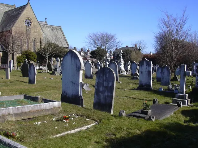
© Robert Wade · Geograph · CC BY-SA 2.0
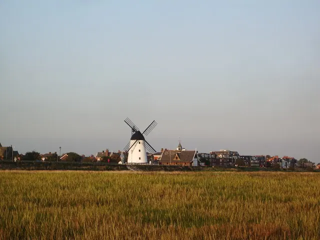
© Alexander P Kapp · Geograph · CC BY-SA 2.0
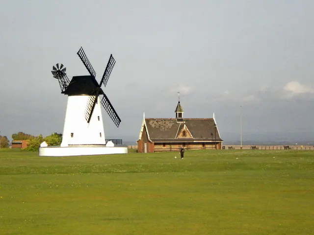
© Alexander P Kapp · Geograph · CC BY-SA 2.0
Images © their respective photographers, licensed under CC BY-SA 2.0 and reused here with attribution. Photographs depict listed buildings, churches and monuments near this settlement and may show neighbouring villages.
Data derived from the Open Domesday project (opendomesday.org), based on the Domesday Book dataset compiled by Professor J.J.N. Palmer and team. The Domesday Book (1086) is in the public domain.
Found an inaccuracy? [email protected]