Lymm in the Domesday Book (1086)
The 1086 Domesday survey records the settlement of Lymm, entered under the hundred of Bucklow in Cheshire.
Other Settlements in Bucklow
- Appleton
- Ashley
- Aston [by Budworth]
- Aston [by Sutton]
- Bartington
- Clifton
- Dunham [Massey]
- Eanley
- Grappenhall
- Mobberley
- Northenden
- Norton
- Ollerton
- Tatton
The Meaning of the Name
The origin of the name Lymm is not securely established from its modern form alone; like many settlement names in the North it likely combines an Old English or Old Norse personal name with a landscape term.
Remarkably, the name has changed little since 1086, when the Domesday scribes wrote it as Lymm.
Listed Buildings Near Lymm
Historic England records 32 listed buildings within about a mile of Lymm. Listing protects structures of special architectural or historic interest, graded I (exceptional), II* (particularly important) and II.
Grade I
- Lymm Cross - 1.07 km
Grade II*
- Lymm Hall - 1.02 km
Grade II
- 8, Booth’s Lane - 0.2 km
- Bridge Over Brook and Dell at Head of Lymm Dam - 0.33 km
- 11, 13, 15, 17 and 19, Church Road - 0.64 km
- Brookfield House - 0.67 km
- Lymm War Memorial - 0.72 km
- Milepost at Ngr 6721 8709 - 0.74 km
- Church of St Mary the Virgin - 0.75 km
- Brookfield Fourways - 0.76 km
- Bridge Over Outfall and Spillway, Lymm Dam - 0.76 km
- Rivington Cottage - 0.85 km
- The Bridgewater Canal Barsbank Lane Aqueduct - 0.88 km
- Trenace House - 0.94 km
- 5, 7, 9, 11 and 13, the Grove - 0.96 km
- The Bridgewater Canal, Covered Canal Dock (North of Henry Street) - 1.0 km
- Bridge Over Moat to Lymm Hall and Adjacent Moat Walls - 1.02 km
- 16, Bridgewater Street - 1.02 km
- The Bridgewater Canal Bridgewater Street Aqueduct - 1.04 km
- The Moat House, Including the Cottage at Lymm Hall - 1.04 km
- Stocks at Lymm Cross - 1.07 km
- Travellers’ Rest stone at Lymm petrol filling station - 1.1 km
- Pigeon House Behind Dane Bank House - 1.12 km
- Number 1 With Attached Screen Wall, Steps and Railings - 1.13 km
…and 8 more listed structures in the area.
Scheduled Monuments Near Lymm
Scheduled monuments are nationally important archaeological sites given legal protection. 2 lie within roughly a mile of Lymm:
- Two cockpits 125m west of Lymm Hall - 0.92 km
- Lymm Hall moated site and ice house - 1.01 km
Nearby Domesday Settlements
Other places recorded in the 1086 survey within a few miles:
- High Legh - 2.8 km SE
- Grappenhall - 4.1 km W
- Warburton - 4.2 km NE
- Appleton - 5.0 km SW
- Millington - 5.4 km E
- Antrobus - 6.7 km SW
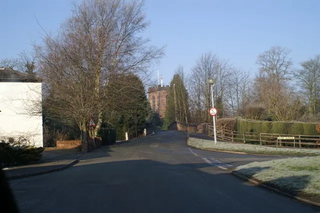
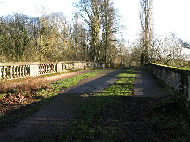
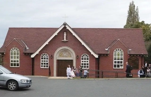
Heritage Around Lymm
Photographs of churches, listed buildings and monuments in the vicinity, contributed by volunteers to the Geograph project and reused here under a Creative Commons licence.
© David Long · Geograph · CC BY-SA 2.0
© Alan Edwards · Geograph · CC BY-SA 2.0
© Mike Stace · Geograph · CC BY-SA 2.0
Images © their respective photographers, licensed under CC BY-SA 2.0 and reused here with attribution. Photographs depict listed buildings, churches and monuments near this settlement and may show neighbouring villages.
Data derived from the Open Domesday project (opendomesday.org), based on the Domesday Book dataset compiled by Professor J.J.N. Palmer and team. The Domesday Book (1086) is in the public domain.
Found an inaccuracy? [email protected]