Ludwell in the Domesday Book (1086)
The settlement of Ludwell is recorded in William I’s Domesday survey of 1086, entered under the hundred of Hamston in Derbyshire.
Other Settlements in Hamston
- Alsop [-en-le-Dale]
- Ashbourne
- Atlow
- Ballidon
- Bonsall
- Bradbourne
- Brassington
- Broadlowash
- Callow
- Carsington
- Cowley
- Cromford
- Elton
- Hanson [Grange]
The Meaning of the Name
The name Ludwell is of Anglo-Saxon origin. Its final element derives from the Old English word wella, a spring or stream. The first element is most likely a personal name or an early descriptive term, now difficult to recover with certainty. Taken together the name probably meant something close to ‘a spring’.
Remarkably, the name has changed little since 1086, when the Domesday scribes wrote it as Ludwell.
Listed Buildings Near Ludwell
Historic England records 5 listed buildings within about a mile of Ludwell. Listing protects structures of special architectural or historic interest, graded I (exceptional), II* (particularly important) and II.
Grade II
- Ludwell Mill Farmhouse - 0.23 km
- Harris Close - 0.93 km
- Outbuildings to North of Bank Top Farmhouse - 0.96 km
- Pilsbury Grange - 1.26 km
- Pilsbury Farmhouse - 1.3 km
Scheduled Monuments Near Ludwell
Scheduled monuments are nationally important archaeological sites given legal protection. 2 lie within roughly a mile of Ludwell:
- Two bowl barrows at Pilsbury - 1.57 km
- Vincent Knoll bowl barrow - 1.57 km
Nearby Domesday Settlements
Other places recorded in the 1086 survey within a few miles:
Heritage Around Ludwell
Photographs of churches, listed buildings and monuments in the vicinity, contributed by volunteers to the Geograph project and reused here under a Creative Commons licence.
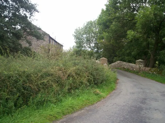
© Jonathan Clitheroe · Geograph · CC BY-SA 2.0
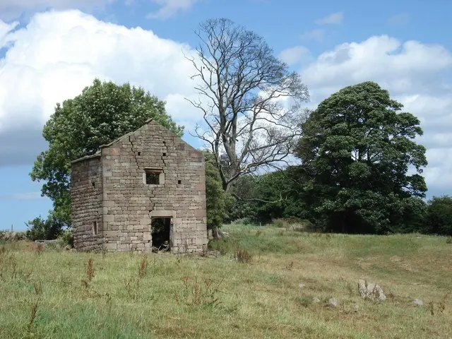
© Paul Glover · Geograph · CC BY-SA 2.0
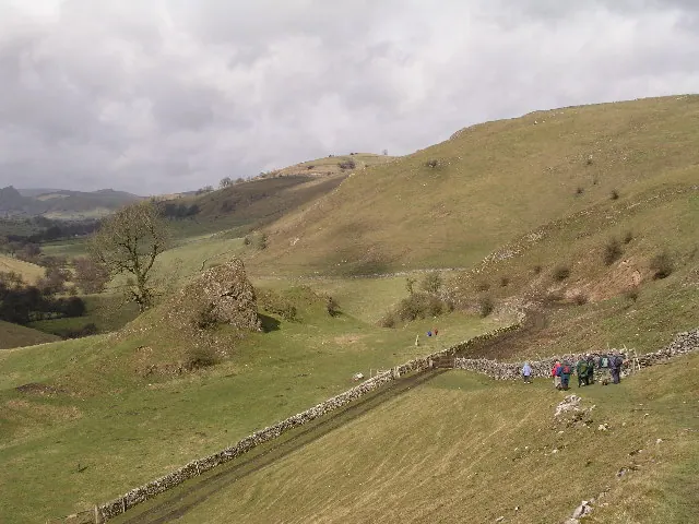
© Alan Fleming · Geograph · CC BY-SA 2.0
Images © their respective photographers, licensed under CC BY-SA 2.0 and reused here with attribution. Photographs depict listed buildings, churches and monuments near this settlement and may show neighbouring villages.
Data derived from the Open Domesday project (opendomesday.org), based on the Domesday Book dataset compiled by Professor J.J.N. Palmer and team. The Domesday Book (1086) is in the public domain.
Found an inaccuracy? [email protected]